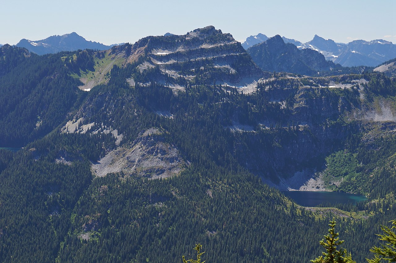
Thunder Mountain Lake Camping Area
Campground
Campground · 3.9 mi from the trail
 Photo: U.S. Forest Service- Pacific Northwest Region, Public domain (via Wikimedia Commons)
Closure in the area
There's a closure order in Mt. Baker-Snoqualmie National Forest. It doesn't name Lake Clarice Trail, so check the source for the area it covers (2 listed).
Grand Park 2 Fire Closure Update
Agency closure covering Mt. Baker-Snoqualmie National Forest · Order 06-05-26-16 · USFS · Mt. Baker-Snoqualmie National Forest
Bell Creek Bridge Damaged
Agency closure covering Mt. Baker-Snoqualmie National Forest · USFS · Mt. Baker-Snoqualmie National Forest
Rescission of Shooting Restrictions
Agency alert covering Mt. Baker-Snoqualmie National Forest · USFS · Mt. Baker-Snoqualmie National Forest
Electric Fire Closure Order
Agency alert covering Mt. Baker-Snoqualmie National Forest · Order 06-05-26-19 · USFS · Mt. Baker-Snoqualmie National Forest
Mountain Goats Have Been Present on Yellow Aster Butte
Agency alert covering Mt. Baker-Snoqualmie National Forest · USFS · Mt. Baker-Snoqualmie National Forest
As of · Source: USFS · Mt. Baker-Snoqualmie National Forest. Agencies don't list every closure — check before you go.
Lake Clarice Trail is a hard hike in Washington's Alpine Lakes Wilderness, within the Skykomish Ranger District of Mt. Baker-Snoqualmie National Forest. The route is an out-and-back of about 8.3 miles, with a total elevation gain of 3,232 feet. The trail starts at roughly 4,684 feet and climbs to a high point of 4,772 feet before descending back to the starting point. The steepest stretch comes at about 1.8 miles in, where the grade reaches 28 percent. That makes the trail a serious commitment, and the round trip takes about 4.5 hours. Summer is the most comfortable time to go. Typical averages from the Stampede Pass weather station, about 25 miles away, show July and August highs near 68 to 69°F with only seven or eight wet days a month. Winter is cold and wet, with highs around freezing and 20 wet days a month from November through January. Marmot Lake Trail and Jade Lake Trail both lie about 0.3 miles away, and Deception Lakes is about 1.5 miles off. For paddling, the East Fork Foss River is about 2.7 miles away.
Thunder Mountain Lake Camping Area
Campground
Herb Schraml Studio & Gallery
Gallery
Places © OpenStreetMap contributors
More in LeavenworthNot on Roamze yet. Their page has how to reach them.
Marmot Lake TrailHikingPhoto: U.S. Forest Service- Pacific Northwest Region, Public domain (via Wikimedia Commons)0.3 miSource: Roamze catalog (indexable pages within 10 miles, PostGIS distance)
Marmot Lake TrailHiking · Next doorPhoto: U.S. Forest Service- Pacific Northwest Region, Public domain (via Wikimedia Commons) Deception Lakes TrailHiking · ~3 min drivePhoto: Martin Bravenboer, CC BY 2.0 (via Wikimedia Commons)
 Pcnst-S-SkykomishHiking · ~5 min drivePhoto: Jeffrey Pang from Berkeley, CA, USA, CC BY 2.0 (via Wikimedia Commons)ROBIN LAKESHiking · ~5 min drivePhoto: Jeffrey Pang from Berkeley, CA, USA, CC BY 2.0 (via Wikimedia Commons)
 Mount Daniel climber's trailHiking · ~8 min drivePhoto: Walter Siegmund, CC BY 2.5 (via Wikimedia Commons)Mount Daniel climber's trailHiking · ~8 min drivePhoto: Walter Siegmund, CC BY 2.5 (via Wikimedia Commons)
 Cathedral Pass TrailHiking · ~9 min drivePhoto: Walter Siegmund, CC BY 2.5 (via Wikimedia Commons)Robin Lakes TrailHiking · ~6 min drivePhoto: Jeffrey Pang from Berkeley, CA, USA, CC BY 2.0 (via Wikimedia Commons)Old Peggy's Pond TrailHiking · ~8 min drivePhoto: Walter Siegmund, CC BY 2.5 (via Wikimedia Commons)Circle Lake TrailHiking · ~8 min drivePhoto: Walter Siegmund, CC BY 2.5 (via Wikimedia Commons)
Best months: July–September. Best months have typical highs of 55–85 °F, lows of 30 °F or warmer (32 °F where the station doesn't record snow), at most one snowy day and no more than 12 wet days.
Jan
32° / 25°
20 wet
Feb
35° / 26°
17 wet
Mar
40° / 29°
20 wet
Apr
46° / 33°
19 wet
May
53° / 38°
17 wet
Jun
60° / 43°
14 wet
Jul
68° / 50°
8 wet
Aug
69° / 51°
7 wet
Sep
63° / 47°
10 wet
Oct
49° / 38°
16 wet
Nov
38° / 30°
19 wet
Dec
32° / 24°
20 wet
Typical high / low (°F) and days with rain or snow, 1991–2020. Measured at Stampede Pass, WA, 24.7 mi away at 3,959 ft. The station sits about 800 ft lower than this place, so expect it a little cooler here. This station doesn't record snowfall. Source: NOAA NCEI U.S. Climate Normals 1991–2020.
Campfire Ban in Effect Forest-wide
Mt. Baker-Snoqualmie National Forest · Order dated July 21, 2026; seen Aug 23, 2026 → lifted Sep 15, 2026 · Forest Service
Map and trail data © OpenStreetMap contributors