Maverick Saddle Campground
Campground
Campground · 4.2 mi from the trail
Closure in the area
There's a closure order in Okanogan-Wenatchee National Forest. It doesn't name Hunters Trail, so check the source for the area it covers (2 listed).
Little Giant Fire Closure Superseding
Agency closure covering Okanogan-Wenatchee National Forest · Order 06-17-07-2026-48 · USFS · Okanogan-Wenatchee National Forest
Railroad and Preston Creek Road Closure
Agency closure covering Okanogan-Wenatchee National Forest · Order 06-17-05-26-04 · USFS · Okanogan-Wenatchee National Forest
Updated Little Giant Fire Closure Order- Wenatchee River and Entiat-Chelan Ranger Districts
Agency alert covering Entiat Ranger District · Order 06-170-7-2026-48 · USFS · Entiat Ranger District
Cle Elum River Restoration Area Closure on the Cle Elum Ranger District
Agency alert covering Okanogan-Wenatchee National Forest · USFS · Okanogan-Wenatchee National Forest
Gold Creek Restoration Project Area Closure on Cle Elum Ranger District
Agency alert covering Okanogan-Wenatchee National Forest · USFS · Okanogan-Wenatchee National Forest
As of · Source: USFS · Okanogan-Wenatchee National Forest. Agencies don't list every closure — check before you go.
Hunters Trail is a 1.2-mile easy hike in Washington's Okanogan-Wenatchee National Forest, within the Entiat Ranger District. The route is an out-and-back that climbs about 500 feet to a high point of 5,904 feet, with the steepest stretch coming around 0.7 miles in at a 12% grade. The whole trip is about 2.4 miles long and takes roughly an hour. The trail starts at 5,479 feet, and the climb is front-loaded, so the hardest part of the ascent happens early. Because it is a short hike with a moderate gain, it works well as a quick outing or a warm-up before heading to other destinations in the Entiat area. Nearby, Cougar Ridge Trail and Cougar Mountain Viewpoint Trail sit about a mile away, and Tyee Ridge Trail is a little farther out. For an overnight base, Fox Creek Campground is about 4.3 miles from the trail.
Maverick Saddle Campground
Campground
Headwaters Pub & Coffee Shop
Restaurant
Leavenworth Reindeer Farm
Attraction
Places © OpenStreetMap contributors
More in LeavenworthNot on Roamze yet. Their page has how to reach them.
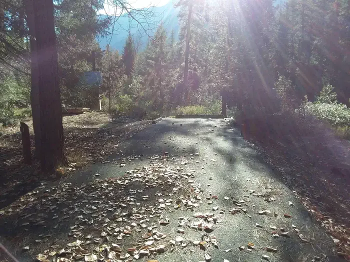 Lake Creek Campground - Entiat RiverCampingPhoto: Recreation.gov (RIDB) / public domain4.5 mi
Source: Roamze catalog (indexable pages within 10 miles, PostGIS distance)
Map and trail data © OpenStreetMap contributors
