Maverick Saddle Campground
Campground
Campground · 3.5 mi from the trail
Closure in the area
There's a closure order in Okanogan-Wenatchee National Forest. It doesn't name Cougar Mountain Viewpoint Trail, so check the source for the area it covers (2 listed).
Little Giant Fire Closure Superseding
Agency closure covering Okanogan-Wenatchee National Forest · Order 06-17-07-2026-48 · USFS · Okanogan-Wenatchee National Forest
Railroad and Preston Creek Road Closure
Agency closure covering Okanogan-Wenatchee National Forest · Order 06-17-05-26-04 · USFS · Okanogan-Wenatchee National Forest
Updated Little Giant Fire Closure Order- Wenatchee River and Entiat-Chelan Ranger Districts
Agency alert covering Entiat Ranger District · Order 06-170-7-2026-48 · USFS · Entiat Ranger District
Cle Elum River Restoration Area Closure on the Cle Elum Ranger District
Agency alert covering Okanogan-Wenatchee National Forest · USFS · Okanogan-Wenatchee National Forest
Gold Creek Restoration Project Area Closure on Cle Elum Ranger District
Agency alert covering Okanogan-Wenatchee National Forest · USFS · Okanogan-Wenatchee National Forest
As of · Source: USFS · Okanogan-Wenatchee National Forest. Agencies don't list every closure — check before you go.
Cougar Mountain Viewpoint Trail is a short, easy out-and-back hike in the Entiat Ranger District of Washington's Okanogan-Wenatchee National Forest, managed by the Forest Service. The trail is about 1.5 miles long, with a total elevation gain of 623 feet, and it reaches a high point of 6,671 feet. The climb is front-loaded, with the steepest stretch at about 0.34 miles in, where the grade reaches 19 percent. The trail starts at 6,316 feet and ends at the same elevation, so the total gain and loss are equal. The route is rated easy and takes about an hour to complete. It makes a good addition to a day spent exploring the surrounding trails. Cougar Ridge Trail and Tyee Ridge Trail both lie about 0.6 miles away, and Hunters Trail is about 1.3 miles off. For an overnight stay, Fox Creek Campground is about 4 miles away.
Maverick Saddle Campground
Campground
Headwaters Pub & Coffee Shop
Restaurant
Leavenworth Reindeer Farm
Attraction
Places © OpenStreetMap contributors
More in LeavenworthNot on Roamze yet. Their page has how to reach them.
Daily highs and lows, wind and the chance of precipitation at the summit and route start for the next 7 days, from the Open-Meteo model.
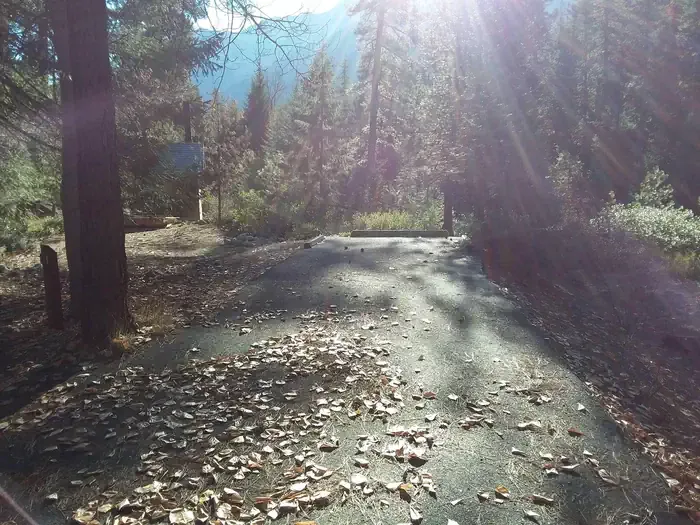 Lake Creek Campground - Entiat RiverCampingPhoto: Recreation.gov (RIDB) / public domain4.4 mi
Source: Roamze catalog (indexable pages within 10 miles, PostGIS distance)
About 0.8 mi round trip.
About 623 ft of climbing round trip.
It is rated easy.
About 0.5 hours round trip.
Map and trail data © OpenStreetMap contributors
