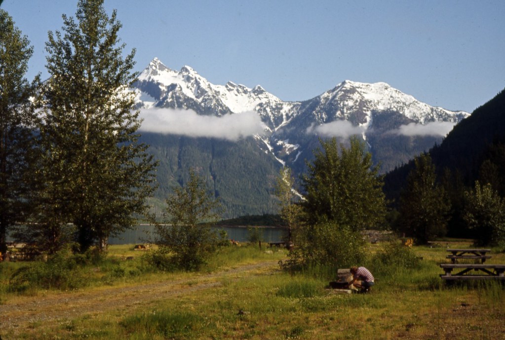
Hozomeen Lake Trail
- 0.6 mi
- round trip
- 213 ft
- climb
- 2,846 ft
- high point
- Out and back
- route
- May–Sep
- best months
Is Hozomeen Lake Trail open right now?
No closures listed
The National Park Service lists no closures for Ross Lake National Recreation Area.
As of · Source: NPS · Ross Lake National Recreation Area. Agencies don't list every closure — check before you go.
Hozomeen Lake Trail is a short, easy hike in the Stephen Mather Wilderness, part of Ross Lake National Recreation Area in Washington. The National Park Service manages the land, and the nearest town is Anacortes Crossing, about 15 miles away. The trail is an out-and-back of about a mile, with a total climb of about 213 feet. The steepest part comes early, around 0.24 miles from the start, where the grade reaches about 16 percent. The high point is about 2846 feet, and the low point is about 2698 feet. Summer is the most comfortable time to go. Typical averages from a nearby weather station at Ross Dam show July and August highs around 79°F with only six or seven wet days a month, while winter brings highs in the upper 30s and rain on most days. That station sits well below the trail, so temperatures on the trail run cooler. Willow Lake Trail and Hozomeen Trail both start about 0.1 mile away. Trail of the Obelisk is about 3 miles off, and Desolation Peak Trail is about 4 miles away.
- Willow Lake TrailHiking0.1 mi
- Hozomeen TrailHiking0.1 mi
 Trail of the ObeliskHikingPhoto: Seattle Municipal Archives from Seattle, WA, CC BY 2.0 (via Wikimedia Commons)3.2 mi
- Desolation Peak TrailHiking4 mi
- Desolation TrailHiking5.6 mi
- Lightning Creek TrailHiking5.6 mi
- East Bank TrailHiking5.7 mi
- Three Fools Creek TrailHiking7.1 mi
Source: Roamze catalog (indexable pages within 10 miles, PostGIS distance)
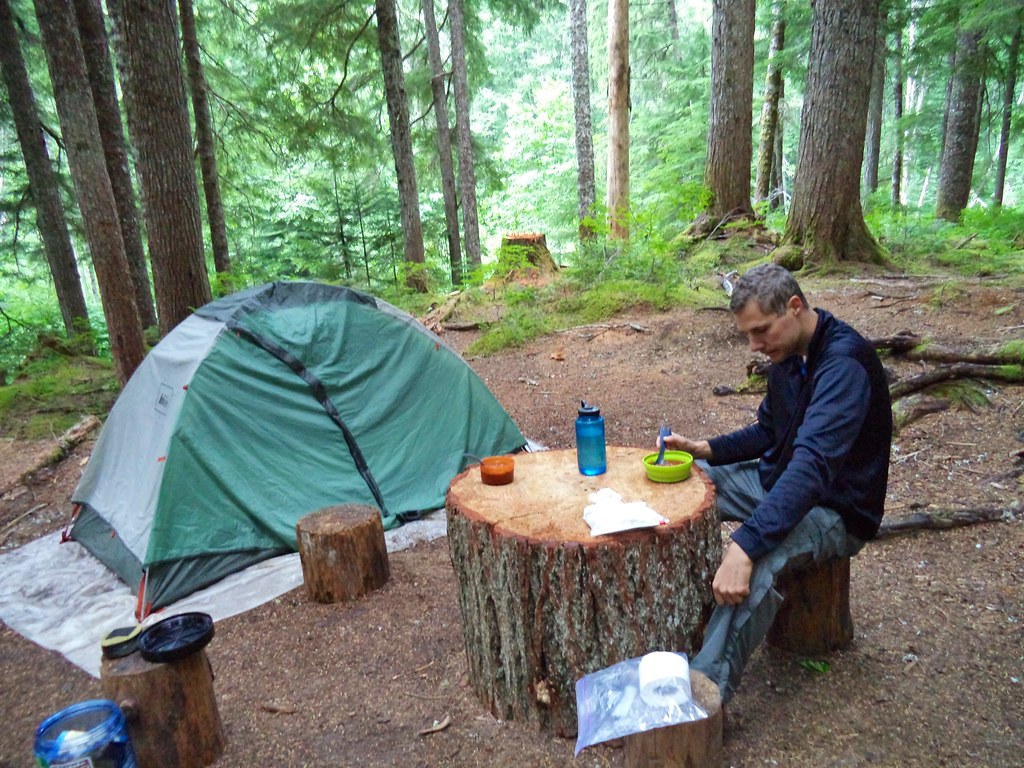 Stillwell Camp AccessHiking · ~19 min drivePhoto: daveynin — CC BY 2.0 (via Flickr)
 HEATHER LAKEHiking · ~25 min drivePhoto: U.S. Forest Service- Pacific Northwest Region, Public domain (via Wikimedia Commons)
 Jack Mountain TrailHiking · ~27 min drivePhoto: Steven PavlovUser:Senapa/TemplateFB, CC BY-SA 3.0 (via Wikimedia Commons)
- Lightning Creek TrailHiking · ~10 min drive
- Rein Orchid TrailHiking · ~23 min drive
- Happy Creek TrailHiking · ~27 min drivePhoto: Steven PavlovUser:Senapa/TemplateFB, CC BY-SA 3.0 (via Wikimedia Commons)
- Heather Lake TrailHiking · ~25 min drivePhoto: U.S. Forest Service- Pacific Northwest Region, Public domain (via Wikimedia Commons)
- Desolation Peak TrailHiking · ~7 min drive
- Luna Peak RouteHiking · ~18 min drive
- Beaver Pond TrailHiking · ~26 min drive
Best time to visit Hozomeen Lake Trail
Best months: May–September. Best months have typical highs of 55–85 °F, lows of 30 °F or warmer (32 °F where the station doesn't record snow), at most one snowy day and no more than 12 wet days.
Jan
38° / 30°
18 wet
Feb
41° / 30°
16 wet
Mar
47° / 33°
18 wet
Apr
56° / 38°
14 wet
May
65° / 45°
12 wet
Jun
70° / 50°
11 wet
Jul
79° / 55°
7 wet
Aug
79° / 56°
6 wet
Sep
70° / 50°
10 wet
Oct
56° / 43°
16 wet
Nov
44° / 35°
20 wet
Dec
38° / 31°
19 wet
Typical high / low (°F) and days with rain or snow, 1991–2020. Measured at Ross Dam, WA, 15.7 mi away at 1,236 ft. The station sits about 1,600 ft lower than this place, so expect it a little cooler here. This station doesn't record snowfall. Source: NOAA NCEI U.S. Climate Normals 1991–2020.