Cat Creek Chimney Cg
Campground
Campground · 3.0 mi from the trail
Closure in the area
There's a closure order in Cowlitz Valley Ranger District. It doesn't name Hamilton Buttes Trail #118, so check the source for the area it covers.
Backbone Fire Area, Road, and Trail Closure
Agency closure covering Cowlitz Valley Ranger District · Order 06-03-05-26-07 · USFS · Cowlitz Valley Ranger District
Backbone Fire Area, Road, and Trail Closure
Agency alert covering Cowlitz Valley Ranger District · Order 06-03-05-26-07 · USFS · Cowlitz Valley Ranger District
Fire Restrictions
Agency alert covering Gifford Pinchot National Forest · USFS · Gifford Pinchot National Forest
Seasonal Road Closures
Agency alert covering Gifford Pinchot National Forest · USFS · Gifford Pinchot National Forest
Road Repairs & Road Closures in 2026
Agency alert covering Gifford Pinchot National Forest · USFS · Gifford Pinchot National Forest
As of · Source: USFS · Cowlitz Valley Ranger District. Agencies don't list every closure — check before you go.
Hamilton Buttes Trail #118 is a challenging out-and-back hike in the Cowlitz Valley Ranger District of Gifford Pinchot National Forest, in Washington. The trail is about 12 miles long and reaches a high point of 5,353 feet, with the start at 4,213 feet and a total elevation gain of about 4,700 feet for the full round trip. That makes it a steep, expert-level route, and the climb is steady from the start. The trail's steepest section comes early, around 0.85 miles from the beginning, with a grade of about 31 percent. The route passes through a steady climb to the high point, then descends back to the starting elevation. Summer is the most comfortable time to go. Typical averages from a nearby weather station at a similar elevation show July and August highs around 62 to 64°F, with lows in the mid-40s. Winter there is cold, with January and February highs in the mid-30s. Hamilton Peak lies about 0.8 miles from the trail, and Hamilton Peak Trail #109 and Hamilton Ridge Trail #109A are both within about a mile and a half. Paddlers can reach the Cispus River, about 2.8 miles away.
Cat Creek Chimney Cg
Campground
Places © OpenStreetMap contributors
More in PackwoodNot on Roamze yet. Their page has how to reach them.
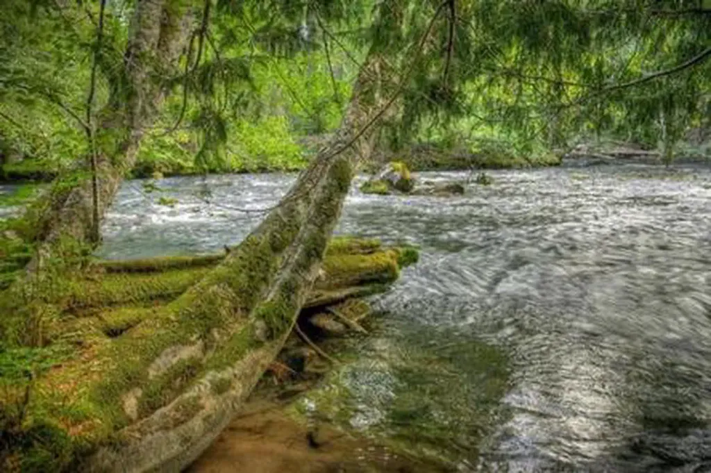 Adams Fork CampgroundCampingPhoto: Recreation.gov (RIDB) / public domain4.1 mi
Source: Roamze catalog (indexable pages within 10 miles, PostGIS distance)
Best months: July–September. Best months have typical highs of 55–85 °F, lows of 30 °F or warmer (32 °F where the station doesn't record snow), at most one snowy day and no more than 12 wet days.
Jan
34° / 24°
Feb
34° / 23°
Mar
36° / 24°
Apr
40° / 26°
May
48° / 33°
Jun
54° / 37°
Jul
62° / 44°
Aug
64° / 45°
Sep
57° / 41°
Oct
46° / 33°
Nov
37° / 26°
Dec
33° / 22°
Typical high / low (°F) and days with rain or snow, 1991–2020. Measured at Rainier Paradise Rs, WA, 27.4 mi away at 5,427 ft. This station doesn't record snowfall. Source: NOAA NCEI U.S. Climate Normals 1991–2020.
Map and trail data © OpenStreetMap contributors
