Adams Fork Campground
Campground
Campground · < 0.1 mi from the trail
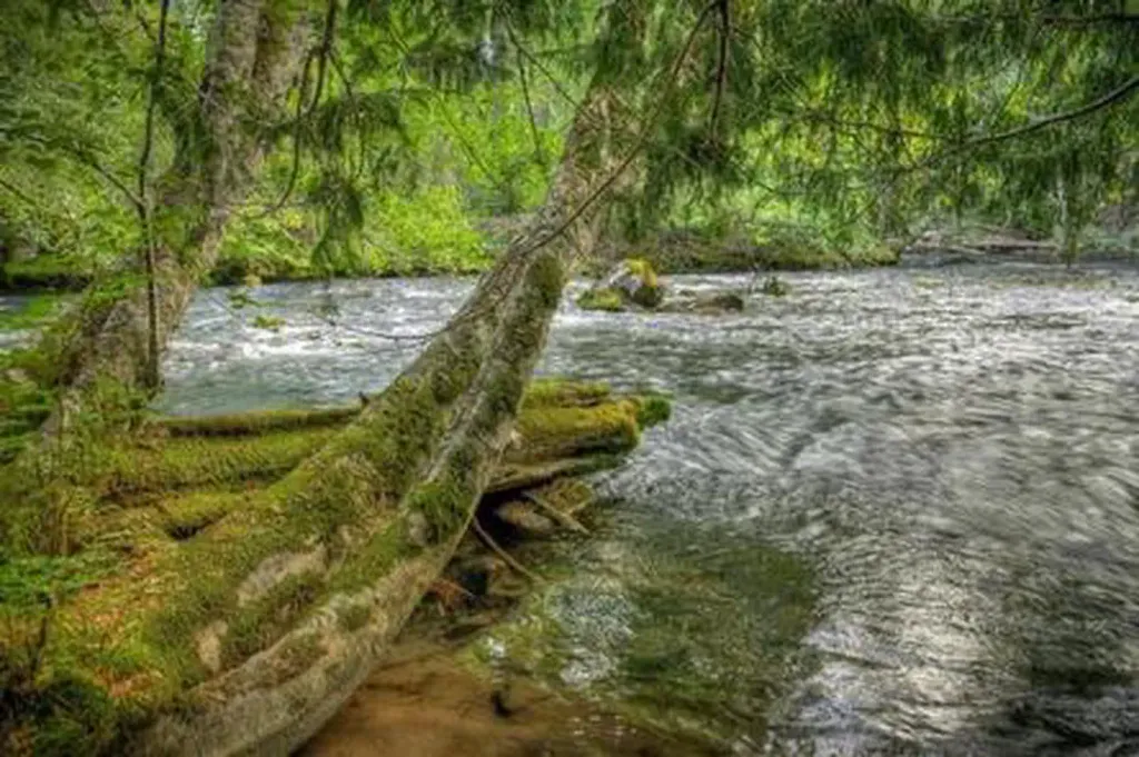 Photo: Recreation.gov (RIDB) / public domain
Caution at last check
Agency alerts are in effect for this area; weather is marginal · USFS, OpenWeather · checked 23 h ago
Alert in the area
The Forest Service lists 8 alerts for Cowlitz Valley Ranger District.
Backbone Fire Area, Road, and Trail Closure
Agency alert covering Cowlitz Valley Ranger District · Order 06-03-05-26-07 · USFS · Cowlitz Valley Ranger District
Fire Restrictions
Agency alert covering Gifford Pinchot National Forest · USFS · Gifford Pinchot National Forest
Seasonal Road Closures
Agency alert covering Gifford Pinchot National Forest · USFS · Gifford Pinchot National Forest
Road Repairs & Road Closures in 2026
Agency alert covering Gifford Pinchot National Forest · USFS · Gifford Pinchot National Forest
Washout on Forest Road 93
Agency alert covering Gifford Pinchot National Forest · USFS · Gifford Pinchot National Forest
As of · Source: USFS · Cowlitz Valley Ranger District. Agencies don't list every closure — check before you go.
Nestled among tall conifers on the Adams Creek Fork of the Cispus River, Adams Fork Campground offers single sites for tent and RV camping, as well as three double sites, with several of the sites sitting along the banks of the river. Adams Fork Campground makes an excellent base from which to explore Mount St. Helens and the surrounding area. Nearby multi-use trails offer a myriad of recreational activities, in addition to trout fishing in the Cispus River.
Adams Fork Campground
Campground
Places © OpenStreetMap contributors
More in PackwoodNot on Roamze yet. Their page has how to reach them.
Best months: April–October. Best months have typical highs of 55–85 °F, lows of 30 °F or warmer (32 °F where the station doesn't record snow), at most one snowy day and no more than 12 wet days.
Jan
39° / 26°
Feb
43° / 27°
Mar
49° / 29°
Apr
58° / 33°
May
68° / 40°
Jun
74° / 45°
Jul
84° / 50°
Aug
84° / 49°
Sep
75° / 42°
Oct
60° / 35°
Nov
45° / 30°
Dec
37° / 25°
Typical high / low (°F) and days with rain or snow, 1991–2020. Measured at Mt Adams Rs, WA, 24 mi away at 1,950 ft. The station sits about 600 ft lower than this place, so expect it a little cooler here. This station doesn't record snowfall. Source: NOAA NCEI U.S. Climate Normals 1991–2020.
Adams Fork Bridge Closed (FR 5601)
Cowlitz Valley Ranger District · Order dated March 13, 2024; seen Aug 23, 2026, no lift recorded · Forest Service
BED
Takhlakh Lake Campground
~8 min drive
BED
Blue Lake Creek Campground - Gifford Pinchot NF (WA)
~11 min drive
 Photo: Forest Service Pacific Northwest Region — Public Domain Mark 1.0 (via Flickr)
Twin Falls Cg
~15 min drive
BED
Walupt Lake Campground
~17 min drive
BED
North Fork Bear Group Camp
~18 min drive
BED
North Fork Beaver Group Camp
~18 min drive
BED
North Fork Campground (WA)
~18 min drive
BED
Cat Creek Cg
~2 min drive
BED
Cat Creek Chimney Cg
~3 min drive
Cat Creek Chimney Cg is a 50-site campground in Oregon, managed by the Forest Service.
BED
Olallie Lake Cg
~6 min drive
Adams Fork Campground
24 sites for RV and tent camping

