Hadley Peak Route
 Photo: Walter Siegmund, CC BY 2.5 (via Wikimedia Commons)
- 1.6 mi
- round trip
- 1,705 ft
- climb
- 7,078 ft
- high point
- Out and back
- route
Caution at last check
Agency alerts are in effect for this area; weather is good · USFS, OpenWeather · checked 16 h ago
Is Hadley Peak Route open right now?
Closure in the area
There's a closure order in Mt. Baker-Snoqualmie National Forest. It doesn't name Hadley Peak Route, so check the source for the area it covers (2 listed).
Grand Park 2 Fire Closure Update
Agency closure covering Mt. Baker-Snoqualmie National Forest · Order 06-05-26-16 · USFS · Mt. Baker-Snoqualmie National Forest
Bell Creek Bridge Damaged
Agency closure covering Mt. Baker-Snoqualmie National Forest · USFS · Mt. Baker-Snoqualmie National Forest
Rescission of Shooting Restrictions
Agency alert covering Mt. Baker-Snoqualmie National Forest · USFS · Mt. Baker-Snoqualmie National Forest
Electric Fire Closure Order
Agency alert covering Mt. Baker-Snoqualmie National Forest · Order 06-05-26-19 · USFS · Mt. Baker-Snoqualmie National Forest
Mountain Goats Have Been Present on Yellow Aster Butte
Agency alert covering Mt. Baker-Snoqualmie National Forest · USFS · Mt. Baker-Snoqualmie National Forest
As of · Source: USFS · Mt. Baker-Snoqualmie National Forest. Agencies don't list every closure — check before you go.
Hadley Peak Route is a 3.2-mile out-and-back hike in Washington's Mount Baker Wilderness, within the Mt. Baker Ranger District of Mt. Baker-Snoqualmie National Forest. The trail rises from about 6,538 feet to 7,078 feet, with a steady climb and a total gain of 1,705 feet, and the steepest stretch comes around 1.1 miles in at about 33% grade. The Forest Service manages the surrounding land. The route is a moderate hike that takes about two hours. The start sits just below 6,500 feet, and the high point is near 7,100 feet. The climb is steady, with the most severe grade around the middle of the route. Nearby, Deadhorse Camp Trail lies about 1.8 miles away and Creek Xing Bypass Spur about 2.3 miles off. Glacier Creek and Bar Creek offer paddling within about 3.5 miles.
Local outfitters
- WHATCOM MEADOWS24 mi away
- Lutherwood Camp & Retreat Center29 mi away
Not on Roamze yet. Their page has how to reach them.
 Deadhorse Camp TrailHikingPhoto: Walter Siegmund, CC BY 2.5 (via Wikimedia Commons)1.8 mi
- Creek Xing Bypass SpurHiking2.3 mi
- Glacier CreekCanoeing3.1 mi
- Bar CreekCanoeing3.5 mi
- The PumphouseRock climbing5.6 mi
 Excelsior Group CampCampingPhoto: Recreation.gov (RIDB) / public domain5.8 mi
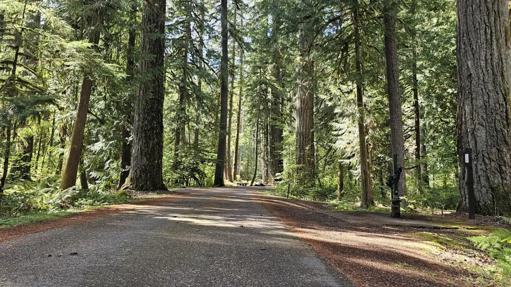 Douglas Fir CampgroundCampingPhoto: Recreation.gov (RIDB) / public domain5.9 mi
- Cobblestone WallRock climbing8 mi
Source: Roamze catalog (indexable pages within 10 miles, PostGIS distance)
- Deadhorse Camp TrailHiking · ~3 min drivePhoto: Walter Siegmund, CC BY 2.5 (via Wikimedia Commons)
 Coxcomb Ridge RouteHiking · ~6 min drivePhoto: Gonzalo Lopez de Haro, Public domain (via Wikimedia Commons)
 Boulder Ridge TrailHiking · ~13 min drivePhoto: Walter Siegmund, CC BY 2.5 (via Wikimedia Commons)
- North Ridge RouteHiking · ~4 min drive
- Excelsior PeakHiking · ~14 min drive
 Table Mountain TrailHiking · ~11 min drivePhoto: Melissa Wright, CC BY-SA 3.0 (via Wikimedia Commons)
- Hayes Lake TrailHiking · ~11 min drivePhoto: Melissa Wright, CC BY-SA 3.0 (via Wikimedia Commons)
 Ridley Creek TrailHiking · ~12 min drivePhoto: Walter Siegmund (talk), CC BY 2.5 (via Wikimedia Commons)
- Church Mountain TrailHiking · ~10 min drive
- TABLE MOUNTAINHiking · ~11 min drivePhoto: Melissa Wright, CC BY-SA 3.0 (via Wikimedia Commons)

Map and trail data © OpenStreetMap contributors
