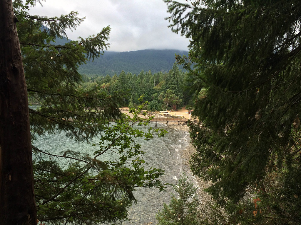
Elbo Creek Trail
- 2.5 mi
- round trip
- 4,976 ft
- climb
- 2,765 ft
- high point
- Out and back
- route
Caution at last check
Agency alerts are in effect for this area; weather is good · USFS, OpenWeather · checked 19 h ago
Is Elbo Creek Trail open right now?
Alert in the area
The Forest Service lists 5 alerts for Olympic National Forest.
Roads to be Closed for Wildlife on October 1, 2026
Agency alert covering Olympic National Forest · USFS · Olympic National Forest
FS-2451 and Copper Creek Trail Closure
Agency alert covering Olympic National Forest · Order 06-09-26-10 · USFS · Olympic National Forest
FS-2160 Road Closure for Bridge Inspection
Agency alert covering Olympic National Forest · Order 06-09-26-07 · USFS · Olympic National Forest
High Steel Bridge and surrounding area closed to pedestrians/off trail hiking
Agency alert covering Olympic National Forest · Order 06-09-24-08 · USFS · Olympic National Forest
Alcohol ban in effect along Lake Cushman corridor
Agency alert covering Olympic National Forest · USFS · Olympic National Forest
As of · Source: USFS · Olympic National Forest. Agencies don't list every closure — check before you go.
Elbo Creek Trail is a 5-mile out-and-back hike in the Hood Canal Ranger District/Quilcene of Olympic National Forest in Washington, on land managed by the Forest Service. It is an expert-level route, with a total elevation gain of 4,976 feet from its low point of 811 feet to the high point of 2,765 feet. The climb is front-loaded, and the steepest stretch comes at about 0.47 miles in, with a grade of 31%. The trip takes about four hours. Because the trail gains and loses the same amount of elevation, plan for a full day of steady climbing and descending. The Mt. Walker Trail #894 starts about 0.3 miles away, and Falls View Campground and Falls View Canyon Trail are each within about a mile and a half. Rocky Brook, a canoeing spot, is roughly 3.7 miles off.
Local outfitters
- Eagle Tree RV Park16 mi away
- John Wayne's Waterfront Resort21 mi away
Not on Roamze yet. Their page has how to reach them.
- MT. WALKERHiking0.3 mi
- Mt. Walker Trail #894Hiking0.3 mi
- Falls View CampgroundCamping1.2 mi
- Falls View Canyon TrailHiking1.3 mi
- Rocky BrookCanoeing3.7 mi
 Big Quilcene RiverCanoeingPhoto: brewbooks, CC BY-SA 2.0 (via Wikimedia Commons)3.9 mi
- Seal RockCamping4.6 mi
- Olympic National ForestRock climbing9.6 mi
Source: Roamze catalog (indexable pages within 10 miles, PostGIS distance)
 Notch Pass Trail #831Hiking · ~6 min drivePhoto: Kathleen Dobson, CC BY 4.0 (via Wikimedia Commons)
 Lower Big Quilcene TrailHiking · ~6 min drivePhoto: U.S. Forest Service- Pacific Northwest Region, Public domain (via Wikimedia Commons)
 Maple Valley TrailHiking · ~10 min drivePhoto: U.S. Forest Service- Pacific Northwest Region, Public domain (via Wikimedia Commons)
 Tunnel Creek TrailHiking · ~12 min drivePhoto: U.S. Forest Service- Pacific Northwest Region, Public domain (via Wikimedia Commons)
- Notch Pass Trail #831Hiking · ~7 min drivePhoto: U.S. Forest Service- Pacific Northwest Region, Public domain (via Wikimedia Commons)
 Tunnel Creek Trail #841Hiking · ~11 min drivePhoto: U.S. Forest Service- Pacific Northwest Region, Public domain (via Wikimedia Commons)
- Falls View Canyon TrailHiking · ~2 min drive
- Mt. Jupiter Trail #809Hiking · ~10 min drive
- Rhody Cutoff TrailHiking · ~10 min drivePhoto: U.S. Forest Service- Pacific Northwest Region, Public domain (via Wikimedia Commons)
- Notch Pass Trail #831Hiking · ~6 min drivePhoto: Kathleen Dobson, CC BY 4.0 (via Wikimedia Commons)