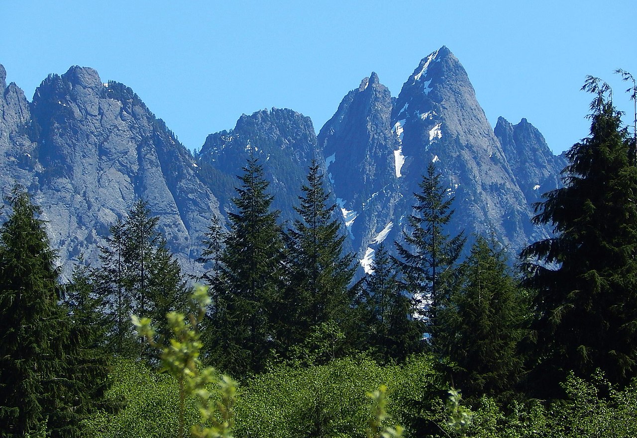
Dingford Creek
- 0.5 mi
- round trip
- 1,584 ft
- climb
- 2,239 ft
- high point
- Out and back
- route
- Jul–Aug
- best months
Is DINGFORD CREEK open right now?
Closure in the area
There's a closure order in Snoqualmie Ranger District. It doesn't name DINGFORD CREEK, so check the source for the area it covers (4 listed).
Gold Creek Area Closure
Agency closure covering Snoqualmie Ranger District · Order 06-17-03-26-07 · USFS · Snoqualmie Ranger District
Grand Park 2 Fire Closure Update
Agency closure covering Mt. Baker-Snoqualmie National Forest · Order 06-05-26-16 · USFS · Mt. Baker-Snoqualmie National Forest
Grand Park 2 Fire Closure
Agency closure covering Snoqualmie Ranger District · Order 06-05-26-13 · USFS · Snoqualmie Ranger District
Bell Creek Bridge Damaged
Agency closure covering Mt. Baker-Snoqualmie National Forest · USFS · Mt. Baker-Snoqualmie National Forest
Rescission of Shooting Restrictions
Agency alert covering Mt. Baker-Snoqualmie National Forest · USFS · Mt. Baker-Snoqualmie National Forest
As of · Source: USFS · Snoqualmie Ranger District. Agencies don't list every closure — check before you go.
Dingford Creek is a 0.5-mile out-and-back hike in Washington's Mt. Baker-Snoqualmie National Forest, within the Snoqualmie Ranger District. The route climbs about 1,150 feet from the trailhead to a high point of 2,239 feet, and the climb is front-loaded, with the steepest stretch at about 0.3 miles in, where the grade reaches nearly 39 percent. That makes the first part of the hike the most challenging, and the trail ends where it began. Summer is the most comfortable time to go. Typical averages from a nearby weather station run highs around 72°F in July and August, with only about 10 wet days a month. Winter is wetter and colder, with highs near 40°F and several snowy days in most months from December through March. The trip takes about an hour. The Dutch Miller Gap Trail, a mountain biking route, lies just 0.1 mile away, and Green Ridge Trail is about 1.1 miles off. Climbers can find Power Shower Boulder and Booka Boulders about 2.9 miles away, and Middle Fork Campground is roughly 4.6 miles from the trailhead.
Local outfitters
- Valley Camp11 mi away
- Blue Sky RV Park22 mi away
Not on Roamze yet. Their page has how to reach them.
- Dutch Miller Gap TrailMountain biking0.1 mi
- Green Ridge TrailHiking1.1 mi
- Power Shower BoulderRock climbing2.9 mi
- Booka BouldersRock climbing2.9 mi
 Middle Fork CampgroundCampingPhoto: Recreation.gov (RIDB) / public domain4.6 mi
- Burnboot CreekCanoeing5.3 mi
- Middle Fork Snoqualmie RiverCanoeing6 mi
 Denny Creek CampgroundCampingPhoto: Recreation.gov (RIDB) / public domain7.3 mi
Source: Roamze catalog (indexable pages within 10 miles, PostGIS distance)
 Kaleetan Lake TrailHiking · ~7 min drivePhoto: Martin Bravenboer, CC BY 4.0 (via Wikimedia Commons)
 Pineapple Pass BootpathHiking · ~7 min drivePhoto: brewbooks from near Seattle, USA, CC BY-SA 2.0 (via Wikimedia Commons)
- ROCK CREEKHiking · ~4 min drive
- Middle Fork Tie 4Hiking · ~6 min drive
- Dutch Miller Gap TrailHiking · Next door
- Green Ridge TrailHiking · ~2 min drive
- Hester Lake TrailHiking · ~4 min drive
- Goldmyer Hot Springs TrailHiking · ~6 min drive
- Rock Creek TrailHiking · ~4 min drive
- Tin Cup Joe Falls TrailHiking · ~3 min drive
Best time to visit DINGFORD CREEK
Best months: July–August. Best months have typical highs of 55–85 °F, lows of 30 °F or warmer (32 °F where the station doesn't record snow), at most one snowy day and no more than 12 wet days.
Jan
41° / 33°
22 wet · 5 snow
Feb
43° / 33°
19 wet · 4 snow
Mar
46° / 34°
23 wet · 4 snow
Apr
52° / 37°
21 wet · 2 snow
May
61° / 43°
18 wet
Jun
65° / 49°
15 wet
Jul
72° / 54°
10 wet
Aug
72° / 54°
9 wet
Sep
66° / 50°
13 wet
Oct
55° / 43°
18 wet
Nov
45° / 36°
21 wet · 2 snow
Dec
40° / 32°
22 wet · 4 snow
Typical high / low (°F) and days with rain or snow, 1991–2020. Measured at Tolt S Fk Rsvr, WA, 16.8 mi away at 2,000 ft. Source: NOAA NCEI U.S. Climate Normals 1991–2020.
Closures we've recorded since August 2026
Campfire Ban in Effect Forest-wide
Mt. Baker-Snoqualmie National Forest · Order dated July 21, 2026; seen Aug 23, 2026 → lifted Sep 15, 2026 · Forest Service