Quartz Creek Trail Backcountry Campsite
Campground
Campground · 3.0 mi from the trail
Caution at last check
Agency alerts are in effect for this area; weather is good · USFS, OpenWeather · checked 14 h ago
Alert in the area
The Forest Service lists 6 alerts for Gifford Pinchot National Forest.
Fire Restrictions
Agency alert covering Gifford Pinchot National Forest · USFS · Gifford Pinchot National Forest
Seasonal Road Closures
Agency alert covering Gifford Pinchot National Forest · USFS · Gifford Pinchot National Forest
Road Repairs & Road Closures in 2026
Agency alert covering Gifford Pinchot National Forest · USFS · Gifford Pinchot National Forest
Washout on Forest Road 93
Agency alert covering Gifford Pinchot National Forest · USFS · Gifford Pinchot National Forest
Upper State Route 504 closed at milepost 45.2 due to large slide
Agency alert covering Gifford Pinchot National Forest · USFS · Gifford Pinchot National Forest
As of · Source: USFS · Gifford Pinchot National Forest. Agencies don't list every closure — check before you go.
Blue Lake Trail is a moderate hike in the Mount St. Helens National Volcanic Monument, part of the Gifford Pinchot National Forest in Washington, on Forest Service land. It runs about 1.9 miles one way, making an out-and-back of roughly 3.9 miles. The route starts near 4,650 feet and climbs at a steady pace, gaining about 970 feet one way and roughly 1,500 feet over the full round trip. Elevations range from a low of about 4,550 feet to a high point near 5,100 feet. The steepest pitch, a grade of about 27 percent, comes around mile 1.1, so expect the hardest work in the middle of the outbound leg. Stabler Camp is about 0.8 miles away, and Blue Lake 3 is about 1.4 miles off. Clear Creek offers canoeing roughly 4 miles away, and Lower Falls Campground is about 5 miles away.
Quartz Creek Trail Backcountry Campsite
Campground
Huff 'N' Puff
Fast food
Places © OpenStreetMap contributors
More in Trout LakeNot on Roamze yet. Their page has how to reach them.
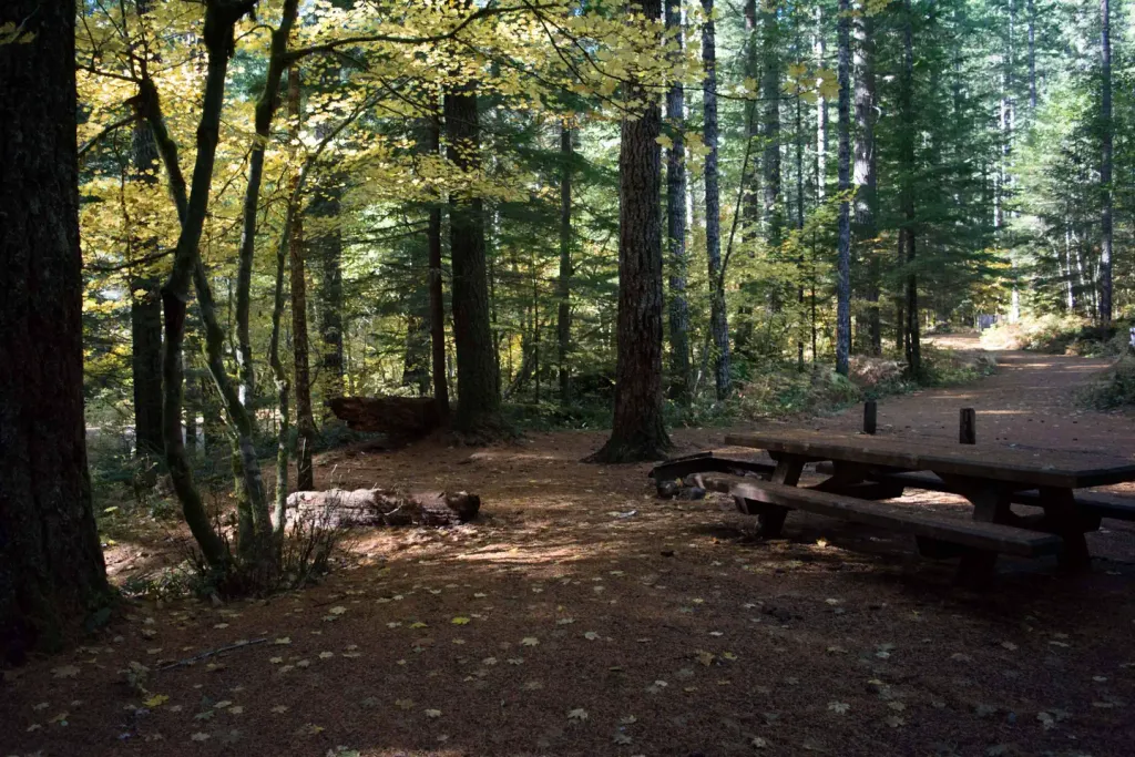 Lower Falls CampgroundCampingPhoto: Recreation.gov (RIDB) / public domain5.2 mi
Source: Roamze catalog (indexable pages within 10 miles, PostGIS distance)
 Middle FallsHiking · ~8 min drivePhoto: U.S. Forest Service- Pacific Northwest Region, Public domain (via Wikimedia Commons)BluffHiking · ~11 min drivePhoto: U.S. Forest Service- Pacific Northwest Region, Public domain (via Wikimedia Commons)Lower Falls Horse BypassHiking · ~9 min drivePhoto: U.S. Forest Service- Pacific Northwest Region, Public domain (via Wikimedia Commons)
Map and trail data © OpenStreetMap contributors
