Carne Basin Camp
- May–Sep
- best months
Is Carne Basin Camp open right now?
Closure in the area
There's a closure order in Okanogan-Wenatchee National Forest. It doesn't name Carne Basin Camp, so check the source for the area it covers (2 listed).
Little Giant Fire Closure Superseding
Agency closure covering Okanogan-Wenatchee National Forest · Order 06-17-07-2026-48 · USFS · Okanogan-Wenatchee National Forest
Railroad and Preston Creek Road Closure
Agency closure covering Okanogan-Wenatchee National Forest · Order 06-17-05-26-04 · USFS · Okanogan-Wenatchee National Forest
Little Giant Fire Closure Order Reduced on the Wenatchee River and Entiat Ranger District
Agency alert covering Wenatchee River Ranger District · Order 06-17-07-2026-46 · USFS · Wenatchee River Ranger District
Cle Elum River Restoration Area Closure on the Cle Elum Ranger District
Agency alert covering Okanogan-Wenatchee National Forest · USFS · Okanogan-Wenatchee National Forest
Gold Creek Restoration Project Area Closure on Cle Elum Ranger District
Agency alert covering Okanogan-Wenatchee National Forest · USFS · Okanogan-Wenatchee National Forest
As of · Source: USFS · Okanogan-Wenatchee National Forest. Agencies don't list every closure — check before you go.
- Wenatchee River Ranger DistrictOkanogan-Wenatchee National Forest
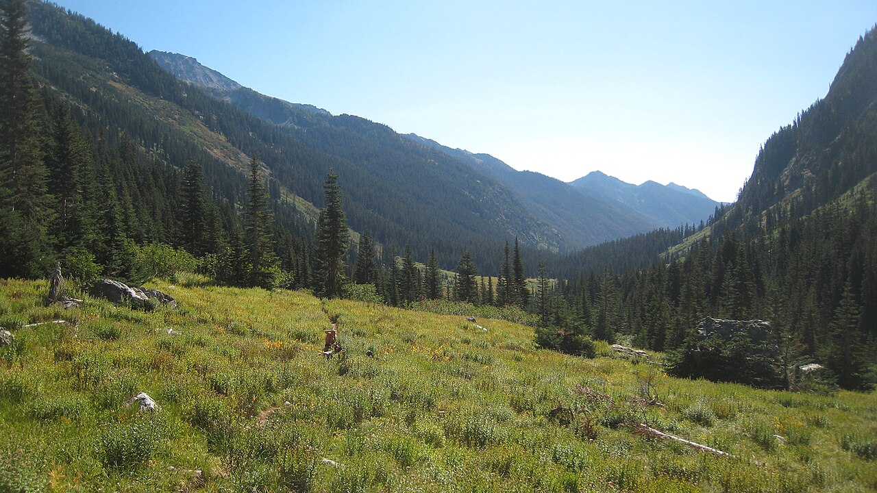
Carne Basin Camp is a campground in Washington.
Local outfitters
- Triangle Recreation Camp36 mi away
- Icicle River RV Resort37 mi away
Not on Roamze yet. Their page has how to reach them.
- Old Gib TrailHiking0.2 mi
- Carne High Route TrailHiking0.5 mi
- Carne Mountain Trail #1508Hiking1.2 mi
- Phelps Creek CgCamping2.2 mi
- Alpine MeadowsCamping2.9 mi
 Mount MaudeSummitPhoto: Mark Iverson, CC BY-SA 2.0 (via Wikimedia Commons)3.6 mi
 Seven Fingered JackSummitPhoto: Walter Siegmund (talk), CC BY-SA 3.0 (via Wikimedia Commons)4.5 mi
- Crown Point FallsWaterfall8.8 mi
Source: Roamze catalog (indexable pages within 10 miles, PostGIS distance)
- Phelps Creek Campground / Horse CampCamping · ~4 min drive
- Phelps Creek CgCamping · ~4 min drive
- Alpine MeadowsCamping · ~5 min drive
- Ice Lakes Camping AreaCamping · ~5 min drive
- Lower Larch Lake CampCamping · ~6 min drive
- Nineteenmile CampgroundCamping · ~8 min drive
- Spider MeadowsCamping · ~9 min drive
- Upper Myrtle Lake CampCamping · ~9 min drive
- Chiwawa Basin Camping AreaCamping · ~10 min drive
- Larch Knob Camping AreaCamping · ~11 min drive
Best time to visit Carne Basin Camp
Best months: May–September. Best months have typical highs of 55–85 °F, lows of 30 °F or warmer (32 °F where the station doesn't record snow), at most one snowy day and no more than 12 wet days.
Jan
28° / 17°
17 wet
Feb
34° / 18°
14 wet
Mar
41° / 23°
14 wet
Apr
50° / 29°
10 wet
May
60° / 36°
10 wet
Jun
66° / 43°
9 wet
Jul
76° / 47°
6 wet
Aug
76° / 46°
6 wet
Sep
67° / 40°
8 wet
Oct
51° / 32°
14 wet
Nov
34° / 24°
17 wet
Dec
27° / 17°
18 wet
Typical high / low (°F) and days with rain or snow, 1991–2020. Measured at Holden Village, WA, 8 mi away at 3,218 ft. We don't have this place's elevation, so higher spots nearby can run cooler. This station doesn't record snowfall. Source: NOAA NCEI U.S. Climate Normals 1991–2020.

Map and trail data © OpenStreetMap contributors
