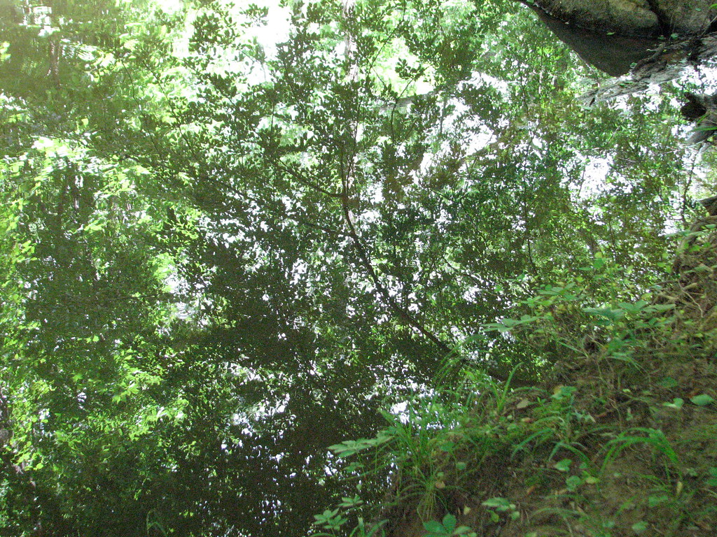
Birch Creek
- 16.9 mi
- distance
- 546 ft
- high point
- Mar–Jun, Sep–Nov
- best months
Birch Creek is a 17-mile paddling stretch in southern Virginia, about 1.5 miles from Brooklyn and roughly 16 miles from Sutherlin. The creek flows year-round, with typical averages from a nearby weather station showing an average flow of about 70 cubic feet per second and a gradient of about 12.7 feet per mile. Spring and fall are the most comfortable times to paddle. Typical averages from the Danville airport weather station, about 12.5 miles away, show April and October highs around 71°F, while July highs average about 89°F. The Richmond and Danville Rail Trail is about 7.5 miles away for hiking. Paddlers can also look to Sandy Creek and Miry Creek, both within about 9 miles.
Local outfitters
- Haw River Trail48 mi away
Not on Roamze yet. Their page has how to reach them.
Source: Roamze catalog (indexable pages within 10 miles, PostGIS distance)
 Tar RiverCanoeing · ~51 min drivePhoto: U.S. Department of Agriculture, Public domain (via Wikimedia Commons)
- Long Island Boat RampBoat launch · ~46 min drive
- Sandy CreekCanoeing · ~14 min drive
- Brookneal Boat RampBoat launch · ~46 min drive
- Miry CreekCanoeing · ~15 min drive
- Draper Landing AccessBoat launch · ~54 min drive
- Lawsons CreekCanoeing · ~19 min drive
- Duke Power Dam PortageBoat launch · ~58 min drive
- Fall CreekCanoeing · ~21 min drive
- Duke Power Dam PortageBoat launch · ~58 min drive
Best time to visit Birch Creek
Best months: March–June and September–November. Best months have typical highs of 55–85 °F, lows of 30 °F or warmer (32 °F where the station doesn't record snow), at most one snowy day and no more than 12 wet days.
Jan
49° / 28°
9 wet
Feb
53° / 30°
9 wet
Mar
61° / 37°
11 wet
Apr
71° / 45°
11 wet
May
78° / 54°
12 wet
Jun
85° / 63°
11 wet
Jul
89° / 67°
12 wet
Aug
87° / 66°
11 wet
Sep
81° / 59°
9 wet
Oct
71° / 46°
9 wet
Nov
61° / 36°
8 wet
Dec
52° / 30°
9 wet
Typical high / low (°F) and days with rain or snow, 1991–2020. Measured at Danville Rgnl Ap, VA, 12.5 mi away at 571 ft. This station doesn't record snowfall. Source: NOAA NCEI U.S. Climate Normals 1991–2020.