Hiker Biker Trail
- 0.3 mi
- round trip
- 27 ft
- climb
- Gravel Road
- surface
- Out and back
- route
- Mar–Jun, Sep–Nov
- best months
Clear at last check
Weather is good · OpenWeather · checked 16 h ago
Is Hiker Biker Trail open right now?
No closures listed
The National Park Service lists no closures for National Capital Parks.
As of · Source: NPS · National Capital Parks. Agencies don't list every closure — check before you go.
Hiker Biker Trail is a short mountain biking route in Virginia's National Capital Parks, part of the National Capital Parks unit, within Fort Circle Park on city-managed land. The trail is about 0.6 miles long, an out-and-back that gains about 27 feet in elevation, so it works easily as a quick stop rather than a full day on the wheels. The most comfortable months for a ride fall in late spring and early fall. Typical averages from a nearby weather station show May highs around 77°F and October highs near 70°F, with July peaking around 90°F. Two other biking trails sit close by: Green Trail is about 0.6 miles away and Museum Foot Trail about 0.8 miles. For a change of pace, Woodlot Nature Trail in Maryland is roughly 5 miles off.
Local outfitters
- Terrapin Adventures20 mi away
Not on Roamze yet. Their page has how to reach them.
- Green TrailMountain biking0.6 mi
- Museum Foot TrailMountain biking0.8 mi
- Woodlot Nature TrailHiking4.9 mi
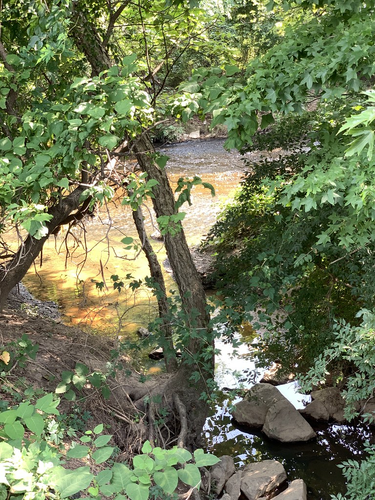 Prince Georges County Connector TrailHikingPhoto: Mr.TinMD, CC BY 2.0 (via Flickr)5.9 mi
- Rachel Carson Greenway TrailHiking6.3 mi
- Gulf BranchRock climbing8.7 mi
- Greenbelt Park Picnic AreasCamping9.1 mi
- Little Falls BranchCanoeing9.5 mi
Source: Roamze catalog (indexable pages within 10 miles, PostGIS distance)
- Hiker Biker TrailMountain biking · Next door
- Garden TrailMountain biking · ~2 min drive
- Bama TrailMountain biking · ~3 min drive
- Rough Woods TrailMountain biking · ~15 min drive
- Hiker Biker TrailMountain biking · Next door
- Chesapeake and Ohio Canal TrailMountain biking · ~14 min drive
- Hiker Biker TrailMountain biking · Next door
- Chesapeake and Ohio Canal TrailMountain biking · ~14 min drive
- Hiker Biker TrailMountain biking · Next door
- Chesapeake and Ohio Canal TrailMountain biking · ~15 min drive
Best time to visit Hiker Biker Trail
Best months: March–June and September–November. Best months have typical highs of 55–85 °F, lows of 30 °F or warmer (32 °F where the station doesn't record snow), at most one snowy day and no more than 12 wet days.
Jan
45° / 28°
9 wet
Feb
48° / 30°
8 wet
Mar
56° / 36°
10 wet
Apr
68° / 46°
12 wet
May
77° / 57°
12 wet
Jun
85° / 66°
11 wet
Jul
90° / 71°
11 wet
Aug
88° / 69°
10 wet
Sep
82° / 62°
9 wet
Oct
70° / 49°
9 wet
Nov
58° / 39°
9 wet
Dec
49° / 32°
9 wet
Typical high / low (°F) and days with rain or snow, 1991–2020. Measured at Natl Arboretum Dc, MD, 3.2 mi away at 50 ft. This station doesn't record snowfall. Source: NOAA NCEI U.S. Climate Normals 1991–2020.
Map and trail data © OpenStreetMap contributors
