Hiker Biker Trail
- 0.1 mi
- round trip
- 43 ft
- climb
- Gravel Road
- surface
- Out and back
- route
- Mar–Jun, Sep–Nov
- best months
Is Hiker Biker Trail open right now?
No closures listed
The National Park Service lists no closures for National Capital Parks.
As of · Source: NPS · National Capital Parks. Agencies don't list every closure — check before you go.
Hiker Biker Trail is a short mountain biking route in Virginia, within the National Capital Parks unit of the National Park Service and the Fort Circle Park area. It sits on city land about 0.3 miles from West Over View, a community in the District of Columbia. The trail is an out-and-back with a total length of about 0.28 miles. The climb is gentle, with a low point of 105 feet and a high of 167 feet, and the one-way elevation gain is 43 feet. Spring and fall are the most comfortable times to ride. Typical averages from a nearby weather station show May highs around 77°F and October highs around 70°F, while July averages about 90°F. The Green Trail, another mountain biking route, is about 0.7 miles away. Within roughly 6 miles are the Woodlot Nature Trail and the Prince Georges County Connector Trail in Maryland, and the Lucky Run Trail in Virginia.
Local outfitters
- Terrapin Adventures20 mi away
Not on Roamze yet. Their page has how to reach them.
- Green TrailMountain biking0.7 mi
- Woodlot Nature TrailHiking4.9 mi
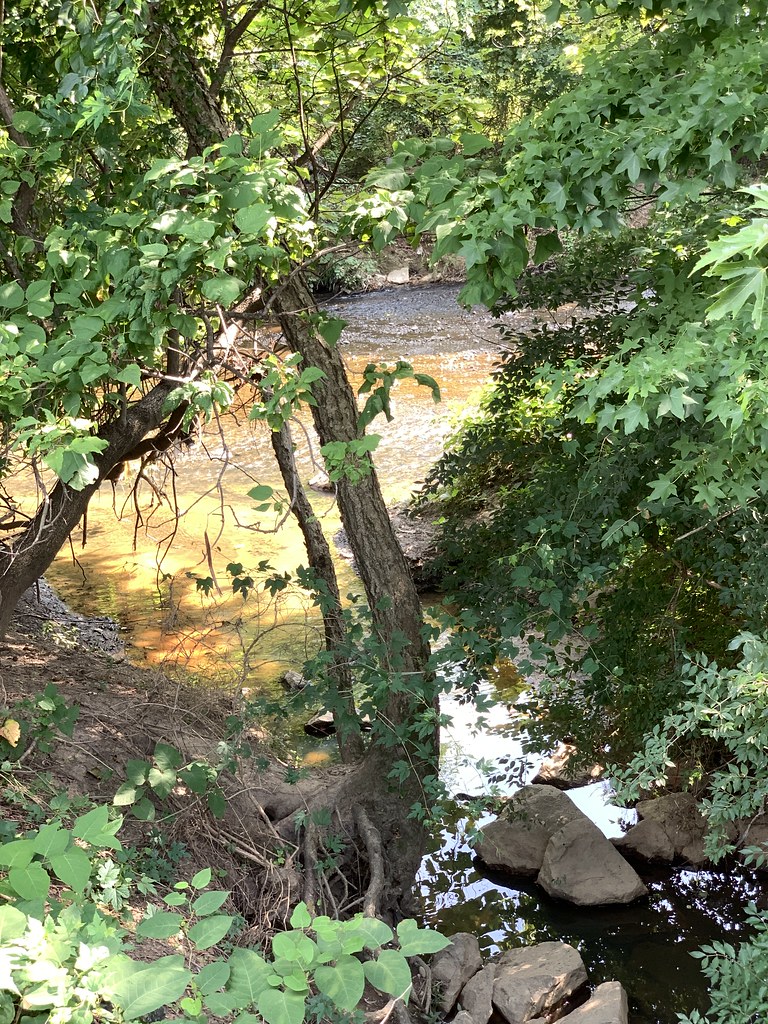 Prince Georges County Connector TrailHikingPhoto: Mr.TinMD, CC BY 2.0 (via Flickr)5.9 mi
- Rachel Carson Greenway TrailHiking6.3 mi
- Lucky Run TrailHiking7.1 mi
- Gulf BranchRock climbing8.8 mi
- Greenbelt Park Picnic AreasCamping9.1 mi
- Little Falls BranchCanoeing9.6 mi
Source: Roamze catalog (indexable pages within 10 miles, PostGIS distance)
- Hiker Biker TrailMountain biking · Next door
- Garden TrailMountain biking · ~2 min drive
- Bama TrailMountain biking · ~2 min drive
- Rough Woods TrailMountain biking · ~15 min drive
- Hiker Biker TrailMountain biking · Next door
- Chesapeake and Ohio Canal TrailMountain biking · ~14 min drive
- Hiker Biker TrailMountain biking · Next door
- Chesapeake and Ohio Canal TrailMountain biking · ~15 min drive
- Hiker Biker TrailMountain biking · Next door
- Chesapeake and Ohio Canal TrailMountain biking · ~15 min drive
Best time to visit Hiker Biker Trail
Best months: March–June and September–November. Best months have typical highs of 55–85 °F, lows of 30 °F or warmer (32 °F where the station doesn't record snow), at most one snowy day and no more than 12 wet days.
Jan
45° / 28°
9 wet
Feb
48° / 30°
8 wet
Mar
56° / 36°
10 wet
Apr
68° / 46°
12 wet
May
77° / 57°
12 wet
Jun
85° / 66°
11 wet
Jul
90° / 71°
11 wet
Aug
88° / 69°
10 wet
Sep
82° / 62°
9 wet
Oct
70° / 49°
9 wet
Nov
58° / 39°
9 wet
Dec
49° / 32°
9 wet
Typical high / low (°F) and days with rain or snow, 1991–2020. Measured at Natl Arboretum Dc, MD, 3.2 mi away at 50 ft. This station doesn't record snowfall. Source: NOAA NCEI U.S. Climate Normals 1991–2020.
Map and trail data © OpenStreetMap contributors
