VA - Woodland Trail
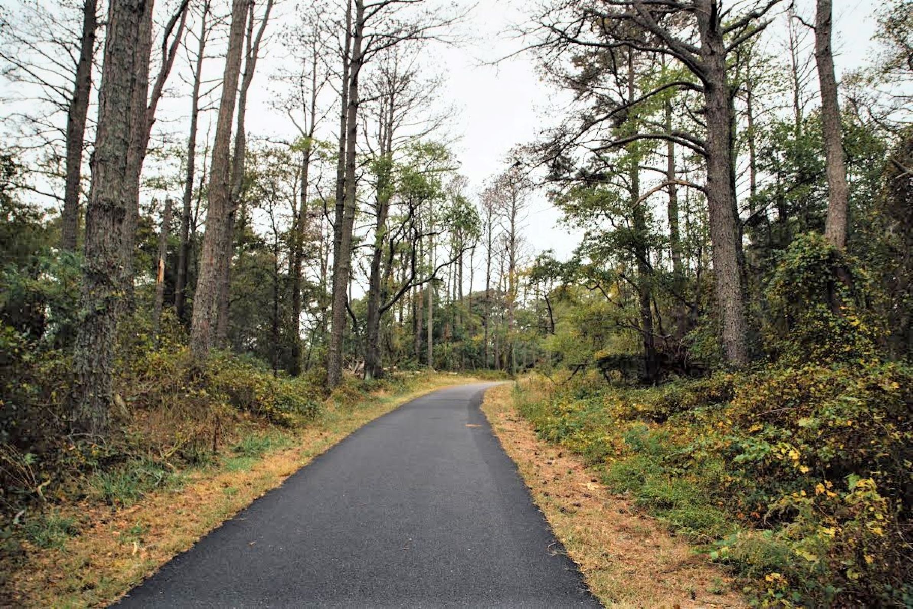 Photo: Krystina Carpenter/ NPS Photo
- 1.8 mi
- loop
- 8 ft
- high point
- Loop
- route
- Easy
- difficulty
- Mar–Jun, Aug–Nov
- best months
Is VA - Woodland Trail open right now?
No closures listed
The National Park Service lists no closures for Assateague Island National Seashore.
As of · Source: NPS · Assateague Island National Seashore. Agencies don't list every closure — check before you go.
The Woodland Trail is an easy, flat hike of about 1.8 miles on the Virginia side of Assateague Island National Seashore, which sits within the Chincoteague National Wildlife Refuge. The trail has no elevation gain, so it is a straightforward walk for anyone looking to spend time on the island's low-lying, coastal landscape. The route is short, and the estimated time is about half an hour. Restrooms are available along the way, which makes it a practical choice for a quick stop or a longer day of exploring the seashore. For comfortable weather, late spring and early fall are the best bets. Typical averages from a nearby weather station show May highs around 73°F and September highs near 79°F, with fewer wet days in September than in spring. The Lighthouse Trail and VA - Lighthouse Trail both lie about a mile away, and the Ragged Point Trail is roughly 2.8 miles off, so it's easy to link this walk with another part of the island.
- Lighthouse TrailHiking1.1 mi
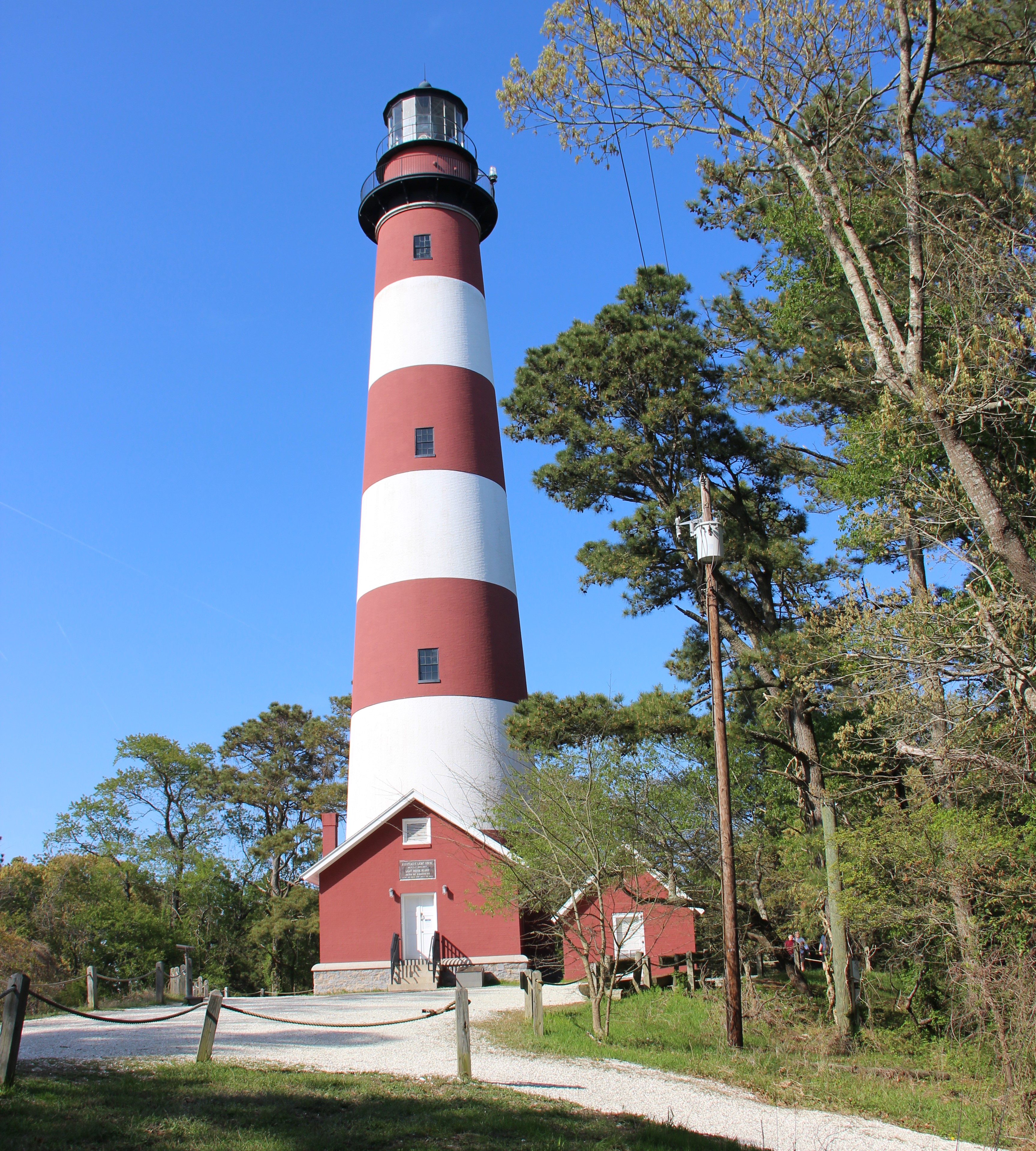 VA - Lighthouse TrailHikingPhoto: NPS Photo1.1 mi
- Ragged Point TrailHiking2.8 mi
Source: Roamze catalog (indexable pages within 10 miles, PostGIS distance)
- VA - Lighthouse TrailHiking · ~2 min drive
- MD - Life of the Marsh TrailHiking · ~41 min drive
- Algonquin TrailHiking · ~36 min drive
- VA - Swan Cove TrailHiking · ~2 min drive
- Campus PathsHiking · ~48 min drive
 Milburn Landing TrailHiking · ~30 min drivePhoto: PBoGS, CC BY-SA 2.0 (via Flickr)
- Prickly Pear TrailHiking · ~1h 23m drive
- Milburn Landing TrailHiking · ~31 min drivePhoto: PBoGS, CC BY-SA 2.0 (via Flickr)
- Algonquin TrailHiking · ~31 min drivePhoto: PBoGS, CC BY-SA 2.0 (via Flickr)
 ASIS MD Life of the Dunes TrailHiking · ~40 min drivePhoto: Josh Kopel from Seattle, WA, United States, CC BY-SA 2.0 (via Wikimedia Commons)
Best time to visit VA - Woodland Trail
Best months: March–June and August–November. Best months have typical highs of 55–85 °F, lows of 30 °F or warmer (32 °F where the station doesn't record snow), at most one snowy day and no more than 12 wet days.
Jan
46° / 30°
11 wet · 2 snow
Feb
49° / 31°
10 wet · 2 snow
Mar
55° / 37°
11 wet · 1 snow
Apr
64° / 46°
11 wet
May
73° / 56°
11 wet
Jun
81° / 65°
10 wet
Jul
86° / 70°
10 wet
Aug
84° / 69°
9 wet
Sep
79° / 63°
8 wet
Oct
69° / 51°
9 wet
Nov
59° / 41°
9 wet
Dec
51° / 34°
10 wet · 1 snow
Typical high / low (°F) and days with rain or snow, 1991–2020. Measured at Wallops Island Flight Fac, VA, 6.4 mi away at 38 ft. Source: NOAA NCEI U.S. Climate Normals 1991–2020.