Algonquin Trail
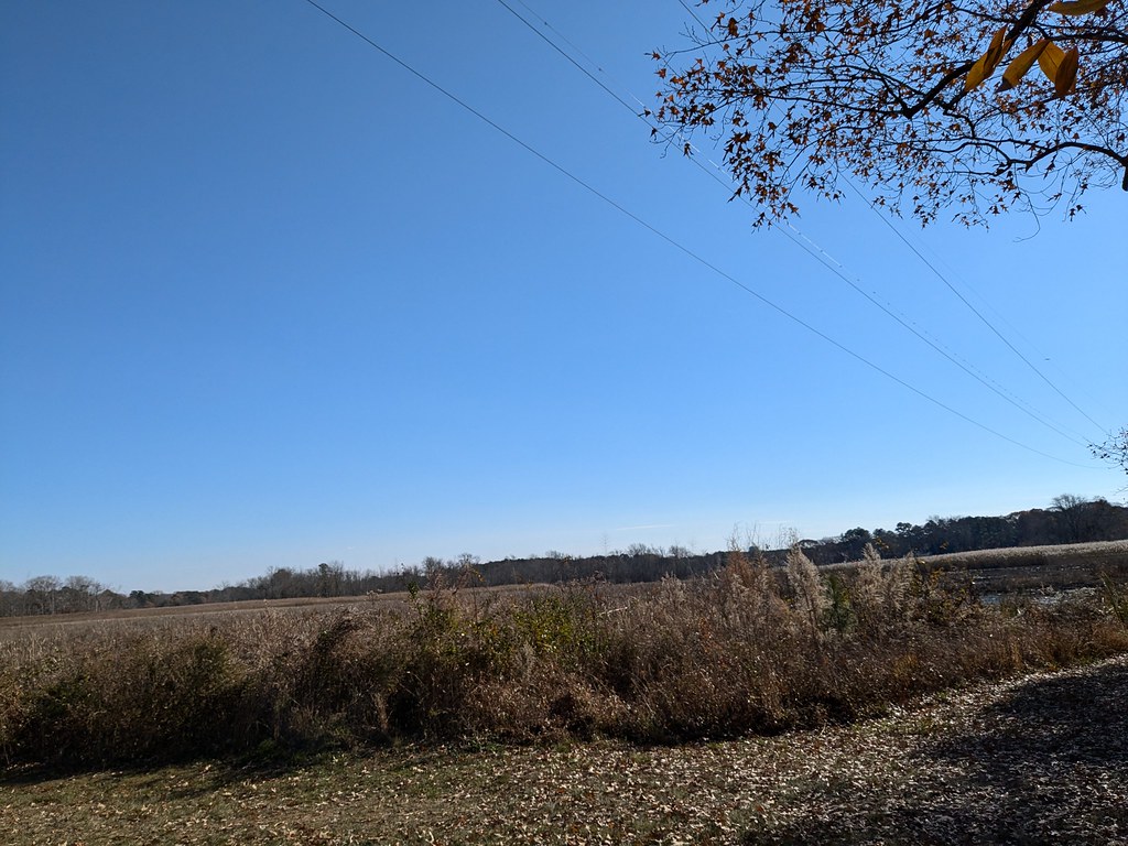
 Photo: PBoGS, CC BY-SA 2.0 (via Flickr)
- 0.3 mi
- round trip
- 26 ft
- climb
- 67 ft
- high point
- Out and back
- route
- Mar–Jun, Sep–Nov
- best months
Algonquin Trail is a short, flat hike in Maryland, about 1.1 miles from the community of Milburn Landing. The trail is 0.64 miles long in total, and it runs in an out-and-back pattern. The elevation gain is just 12 feet one way, so the route is easy on the legs. The trail starts and ends at nearly the same level, with a low point of about 54 feet and a high of about 67 feet. The most comfortable months are typically spring and fall. At a nearby weather station, typical average highs run around 69°F in April and 72°F in October. Midsummer is warmer, with typical July highs near 89°F. The trip takes about half an hour. The Milburn Landing Trail is the closest neighbor, about 0.4 miles away. Farther afield are the Nature Trail, about 6.1 miles off, and the Blue Trail, about 7.2 miles away.
- Milburn Landing TrailHikingPhoto: PBoGS, CC BY-SA 2.0 (via Flickr)0.4 mi
- Nature TrailHiking6.1 mi
- Blue TrailHiking7.2 mi
Source: Roamze catalog (indexable pages within 10 miles, PostGIS distance)
- Milburn Landing TrailHiking · Next doorPhoto: PBoGS, CC BY-SA 2.0 (via Flickr)
- MD - Life of the Marsh TrailHiking · ~31 min drive
- Algonquin TrailHiking · ~5 min drive
- Milburn Landing TrailHiking · ~1 min drivePhoto: PBoGS, CC BY-SA 2.0 (via Flickr)
- Campus PathsHiking · ~21 min drive
 Bell Island TrailHiking · ~28 min drivePhoto: vonguard, CC BY-SA 2.0 (via Flickr)
 Handy Hall TrailHiking · ~29 min drivePhoto: vonguard, CC BY-SA 2.0 (via Flickr)
- Pondside TrailHiking · ~29 min drivePhoto: vonguard, CC BY-SA 2.0 (via Flickr)
- VA - Lighthouse TrailHiking · ~30 min drive
 ASIS MD Life of the Dunes TrailHiking · ~31 min drivePhoto: Josh Kopel from Seattle, WA, United States, CC BY-SA 2.0 (via Wikimedia Commons)
Best time to visit Algonquin Trail
Best months: March–June and September–November. Best months have typical highs of 55–85 °F, lows of 30 °F or warmer (32 °F where the station doesn't record snow), at most one snowy day and no more than 12 wet days.
Jan
49° / 30°
10 wet · 2 snow
Feb
51° / 31°
9 wet · 2 snow
Mar
58° / 37°
10 wet · 1 snow
Apr
69° / 46°
10 wet
May
78° / 56°
11 wet
Jun
85° / 65°
9 wet
Jul
89° / 70°
9 wet
Aug
87° / 67°
9 wet
Sep
82° / 61°
8 wet
Oct
72° / 50°
9 wet
Nov
61° / 40°
9 wet
Dec
52° / 34°
10 wet · 1 snow
Typical high / low (°F) and days with rain or snow, 1991–2020. Measured at Snow Hill 4 N, MD, 8.6 mi away at 30 ft. Source: NOAA NCEI U.S. Climate Normals 1991–2020.

Map and trail data © OpenStreetMap contributors
