Jones Cliff Trail
- 1.0 mi
- loop
- 299 ft
- climb
- 853 ft
- high point
- Loop
- route
- Mar–Jun, Sep–Nov
- best months
Clear at last check
Weather is good · OpenWeather · checked 13 h ago
Jones Cliff Trail is a short, easy hike of about a mile in the Richard P Gravely Nature Preserve in Virginia, on county land. The trail rises from a low point of 726 feet to a high of 853 feet, with a total elevation gain of 299 feet. The climb is steepest at the start, with a grade of about 16%, before the trail eases into a gentler walk. Spring and fall are the most comfortable times to go. Typical averages from a nearby weather station show October highs around 71°F with lows near 43°F, and April is similar at about 71°F by day and 40°F at night. Midsummer highs there reach the upper 80s. The hike takes about half an hour. The Rhododendron Trail lies about 0.4 miles away, and the Cart Path is about 3.5 miles off. Fieldale Trail is roughly 8.8 miles away.
Local outfitters
- Haw River Trail48 mi away
Not on Roamze yet. Their page has how to reach them.
Source: Roamze catalog (indexable pages within 10 miles, PostGIS distance)
 Riverwalk TrailHiking · ~18 min drivePhoto: bobistraveling, CC BY 2.0 (via Flickr)
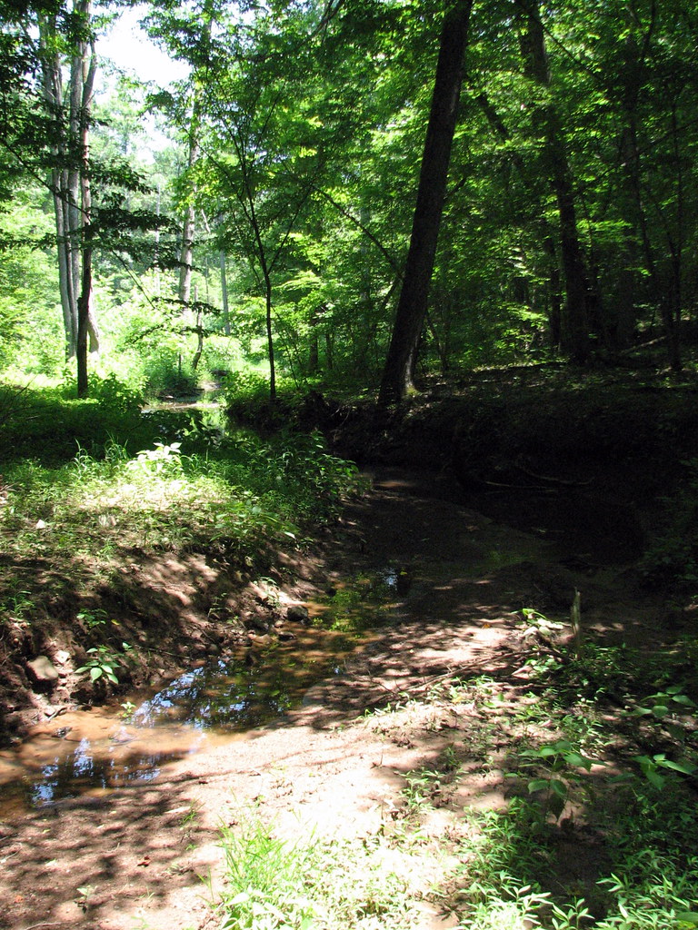 Mayo Mountain Loop TrailHiking · ~24 min drivePhoto: bobistraveling, CC BY 2.0 (via Flickr)
- Fox TrailHiking · ~24 min drivePhoto: bobistraveling, CC BY 2.0 (via Flickr)
 Oak Hickory TrailHiking · ~35 min drivePhoto: Virginia State Parks, CC BY 2.0 (via Wikimedia Commons)
- Horse Camp TrailHiking · ~36 min drivePhoto: Virginia State Parks, CC BY 2.0 (via Wikimedia Commons)
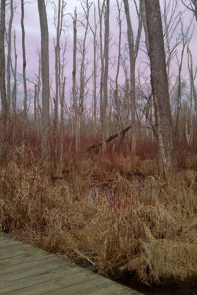 Piedmont Loop TrailHiking · ~43 min drivePhoto: Elaine with Grey Cats, CC BY-SA 2.0 (via Flickr)
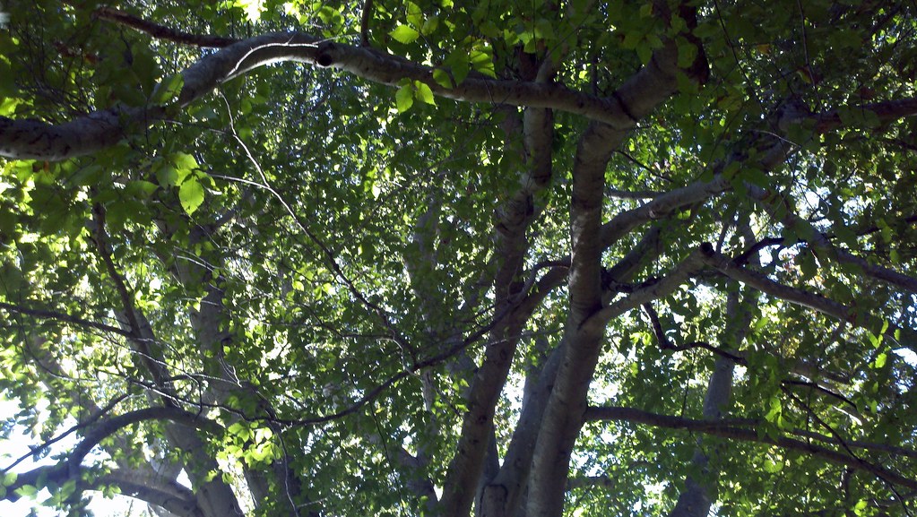 Great Blue Heron Loop TrailHiking · ~44 min drivePhoto: bobistraveling, CC BY 2.0 (via Flickr)
- Rhododendron TrailHiking · Next door
- Cart PathHiking · ~6 min drive
- Fieldale TrailHiking · ~15 min drive
Best time to visit Jones Cliff Trail
Best months: March–June and September–November. Best months have typical highs of 55–85 °F, lows of 30 °F or warmer (32 °F where the station doesn't record snow), at most one snowy day and no more than 12 wet days.
Jan
48° / 24°
10 wet
Feb
52° / 25°
9 wet
Mar
60° / 32°
10 wet
Apr
71° / 40°
10 wet
May
78° / 50°
12 wet
Jun
85° / 59°
11 wet
Jul
88° / 64°
11 wet
Aug
86° / 63°
10 wet
Sep
80° / 55°
9 wet
Oct
71° / 43°
8 wet
Nov
60° / 32°
8 wet
Dec
51° / 26°
10 wet
Typical high / low (°F) and days with rain or snow, 1991–2020. Measured at Martinsville Fltr Plt, VA, 7 mi away at 780 ft. This station doesn't record snowfall. Source: NOAA NCEI U.S. Climate Normals 1991–2020.
Map and trail data © OpenStreetMap contributors
