Backbone Rock Campground
Campground
Campground · < 0.1 mi from the trail
 Photo: photo by pfly, CC BY-SA 2.0 (via Wikimedia Commons)
Backbone Rock Trail is a 2.4-mile moderate hike on the Watauga Ranger District of Cherokee National Forest in Virginia, managed by the Forest Service. The trail is an out-and-back, and the route is about 4.8 miles long with a total climb of roughly 1,500 feet. The start sits at about 2,227 feet, and the high point reaches about 3,525 feet. Late spring and early fall tend to be the most comfortable times to go. Typical averages from a nearby weather station in Tennessee show May highs around 74°F and October highs around 68°F, with October and November bringing the fewest wet days of the year. Backbone Rock Campground and the Backbone Boulders climbing area both lie about 0.1 mile from the trail, so it's easy to pair an overnight stay or a climb with the hike. The Appalachian Trail passes about 1.5 miles away, and Iron Mountain Trail is about 2.8 miles off.
Backbone Rock Campground
Campground
The Tipsy Bear
Restaurant
Mountain Farm Life Museum
Museum
Places © OpenStreetMap contributors
More in Jefferson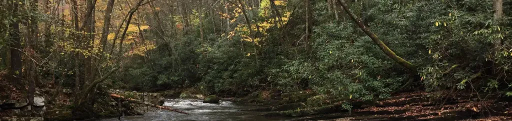 Backbone Rock CampgroundCampingPhoto: Recreation.gov (RIDB) / public domain0.1 miAppalachian TrailHikingPhoto: photo by pfly, CC BY-SA 2.0 (via Wikimedia Commons)1.5 mi
Source: Roamze catalog (indexable pages within 10 miles, PostGIS distance)
Appalachian TrailHiking · ~3 min drivePhoto: photo by pfly, CC BY-SA 2.0 (via Wikimedia Commons)Best months: April–October. Best months have typical highs of 55–85 °F, lows of 30 °F or warmer (32 °F where the station doesn't record snow), at most one snowy day and no more than 12 wet days.
Jan
46° / 23°
9 wet
Feb
49° / 25°
9 wet
Mar
57° / 31°
10 wet
Apr
67° / 39°
10 wet
May
74° / 49°
12 wet
Jun
80° / 56°
12 wet
Jul
82° / 60°
12 wet
Aug
81° / 59°
10 wet
Sep
77° / 52°
8 wet
Oct
68° / 41°
7 wet
Nov
58° / 31°
7 wet
Dec
49° / 26°
9 wet
Typical high / low (°F) and days with rain or snow, 1991–2020. Measured at Mtn City 2, TN, 8.3 mi away at 2,419 ft. The station sits about 1,100 ft lower than this place, so expect it a little cooler here. This station doesn't record snowfall. Source: NOAA NCEI U.S. Climate Normals 1991–2020.
Map and trail data © OpenStreetMap contributors

