Free — you'll pick up right here.
Watch this water
Sign up to watch it — saving subscribes you to gate, closure and report changes.
Kentucky
Carr Creek Lake Shelters
We don't cover this water yet
No agency boundary, access route or field report is mapped to it — so there is no verdict, and we won't guess. We'll tell you the moment this water has something to say.
Covered nearby
Waters within 25 miles where we do have a current picture.
Nobody's filed a report here yet — be the first.
Why you'll love it


Here's your day on the water, mapped
Carr Creek Lake Shelters
AI-suggested draft · review before you go
Gear for the day
Photos
Directions & GPX
About this water
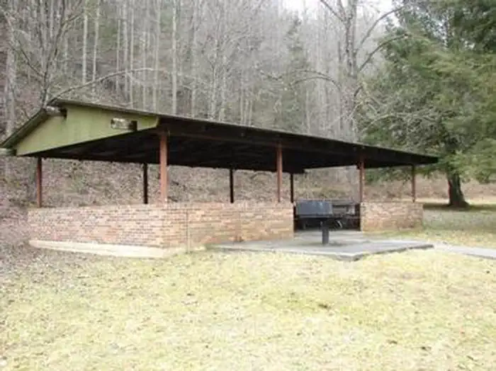
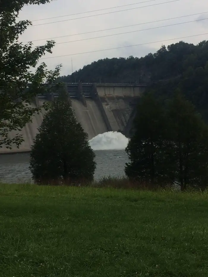
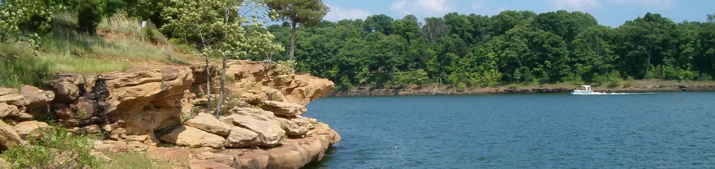
Overview Carr Creek Lake Shelters are located on Carr Creek Lake on the same side of Kentucky Highway 160 as Littcarr Campground. The U.S. Army Corps of Engineers, in cooperation with the Commonwealth of Kentucky, manages the land and water at Carr Creek Lake for wildlife, fisheries and recreation. Recreation The 710-acre lake and surrounding area offer a wide variety of outdoor recreation opportunities. Boating and water skiing are popular activities on the lake. For the sportsman, fishing is an ever-present activity. Crappie, bass, bluegill and walleye are plentiful in the lake and provide hours of fishing enjoyment. Also, the Kentucky Department of Fish and Wildlife release trout in the tailwater throughout the summer months. Hikers can find a short nature trail, less than a mile long, in the Dam/Tailwater area. For a bit more adventure, the 6-mile Sugar Branch Trail begins at the dam and ends at Sugar Lake Road.Facilities A total of eight picnic shelters are open for use from April through September. The shelters are known as Dogwood, Holly, Laurel, Pin Oak, Poplar, Sycamore, White Pine and Willow. Each is accessible and equipped with electricity, grills, picnic tables and lighting. Each shelter can accommodate up to 200 people; However we are asking that the number of people at each site will be limited to 10 persons due to the COVID-19 outbreak. Willow, Pin Oak, White Pine and Dogwood are located at the Littcarr Recreation Area, offering access to a boat ramp, playground, horseshoe pit and shoreline fishing. Sycamore and Poplar are in the Dam/Tailwater Area, with a horseshoe pit, large playground and volleyball courts nearby. Laurel and Holly are at the marina, where guests have access to a boat ramp, playground, horseshoe pits and accessible fishing pier. Restrooms are located near all shelters. Natural Features Carr Creek Lake is located in the mountainous region of southeastern Kentucky, about 16 miles from Hazard and 18 miles from Whitesburg. The dam is located 8.8 miles above the mouth of Carr Fork, a tributary of the North Fork of the Kentucky River.
Add to a trip & share
Keep exploring — more waters worth the drive
Trace Branch Campground
~32 min drive
A worthwhile stop near Kentucky.
Phillip's Creek Group Picnic Area
~37 min drive
A worthwhile stop near Virginia.
Buckhorn Lake State Resort Park
~44 min drive
Moderate
Martins Fork Lake - Harlan County
~47 min drive
Easy
John W. Flannagan Day Use
~1h 5m drive
A worthwhile stop near Virginia.
Dewey Lake Shelter
~1h 7m drive
A worthwhile stop near Kentucky.
Paintsville Lake State Park
~1h 13m drive
Moderate
Pound River - Flannagan Tailwater
~1h drive
Easy
Flatwoods Group Picnic Area
~1h 6m drive
A worthwhile stop near Virginia.
Carr Creek Lake
~6 min drive
A worthwhile stop near Kentucky.


