Paddlers Site
Campground
Campground · 5.8 mi from the trail
Pease Mountain is a summit of 808 feet in Vermont, about a mile from the town of West Charlotte. It sits among a cluster of short hiking routes, with the Upper Loop and Lower Loop both within half a mile. Summer is the most comfortable time to go. Typical July averages from a nearby weather station run to a high of 80°F and a low of 61°F, though that station sits well below the summit, so temperatures on the mountain run cooler. The closest trails are the Upper Loop at 0.3 miles and the Lower Loop at 0.4 miles. The Byington Trail is about 1.7 miles away, and paddlers can reach the La Platte River, roughly 5 miles off.
Paddlers Site
Campground
 If it rainsStorylanding, CC0 · Wikimedia Commons
Places © OpenStreetMap contributors · Photos: Storylanding, CC0 (commons)
More in South BurlingtonDaily highs and lows, wind and the chance of precipitation at the summit and route start for the next 7 days, from the Open-Meteo model.
Elevation from USGS 3D Elevation Program terrain data (about 10 m resolution).
808 ft (246 m).
One: Upper Loop.
Source: Roamze catalog (indexable pages within 10 miles, PostGIS distance)
 Pokamoonshine MountainSummit · ~26 min drivePhoto: Brendan Wiltse, Cropped and color-corrected slightly prior to upload by Daniel Case, CC BY 2.0 (via Wikimedia Commons)
 Snake MountainSummit · ~29 min drivePhoto: Michael Kostiuk, CC BY-SA 3.0 (via Wikimedia Commons)
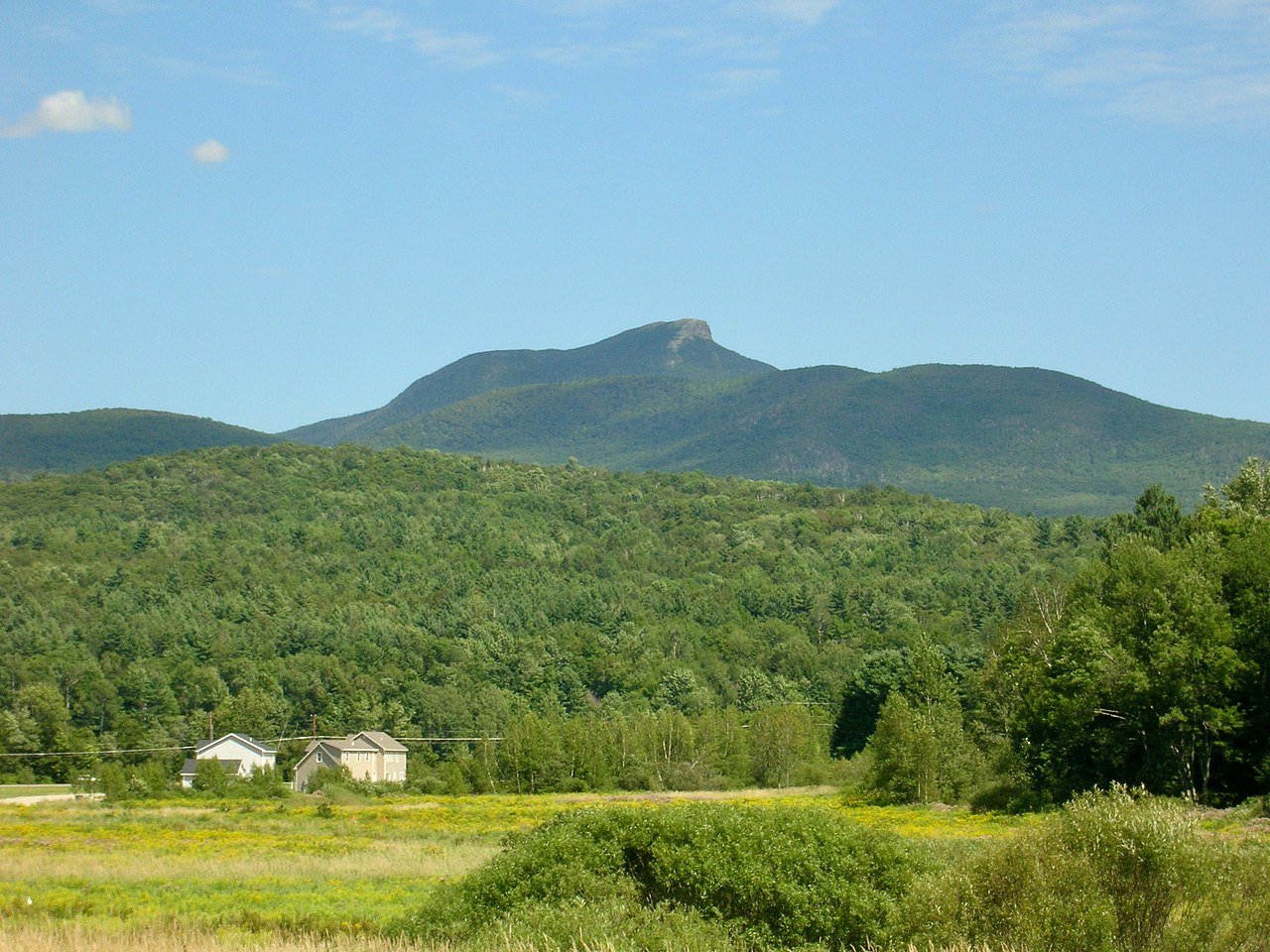 Camels HumpSummit · ~30 min drivePhoto: Niranjan Arminius, CC BY-SA 4.0 (via Wikimedia Commons)
 Mount Ethan AllenSummit · ~30 min drivePhoto: Niranjan Arminius, CC BY-SA 4.0 (via Wikimedia Commons)
 Mount EllenSummit · ~32 min drivePhoto: dvs, CC BY 2.0 (via Wikimedia Commons)
 Mount AbrahamSummit · ~34 min drivePhoto: User:Magicpiano, CC BY-SA 4.0 (via Wikimedia Commons)
 Hurricane MountainSummit · ~41 min drivePhoto: Mwanner, CC BY-SA 3.0 (via Wikimedia Commons)
Best months: May–October. Best months have typical highs of 55–85 °F, lows of 30 °F or warmer (32 °F where the station doesn't record snow), at most one snowy day and no more than 12 wet days.
Jan
29° / 11°
Feb
31° / 12°
Mar
39° / 22°
Apr
54° / 34°
May
66° / 46°
Jun
76° / 56°
Jul
80° / 61°
Aug
79° / 59°
Sep
71° / 52°
Oct
58° / 41°
Nov
46° / 31°
Dec
35° / 21°
Typical high / low (°F) and days with rain or snow, 1991–2020. Measured at Willsboro 1 N, NY, 8.9 mi away at 180 ft. The station sits about 600 ft lower than this place, so expect it a little cooler here. This station doesn't record snowfall. Source: NOAA NCEI U.S. Climate Normals 1991–2020.

