Sunrise Shelter
Campground
Campground · 2.2 mi from the trail
Caution today
Agency alerts are in effect for this area; weather is marginal · USFS, OpenWeather · checked 11 h ago
Closure in the area
There's a closure order in Green Mountain and Finger Lakes National Forests. It doesn't name Puss and Kill Extension, so check the source for the area it covers (3 listed).
Klondike Fire Incident Report
Agency closure covering Green Mountain and Finger Lakes National Forests · USFS · Green Mountain and Finger Lakes National Forests
Heavily damaged or closed trails
Agency closure covering Green Mountain and Finger Lakes National Forests · USFS · Green Mountain and Finger Lakes National Forests
Glastenbury fire tower is closed to public use
Agency closure covering Green Mountain and Finger Lakes National Forests · USFS · Green Mountain and Finger Lakes National Forests
Moosalamoo Campground Water System
Agency alert covering Green Mountain and Finger Lakes National Forests · USFS · Green Mountain and Finger Lakes National Forests
As of · Source: USFS · Green Mountain and Finger Lakes National Forests. Agencies don't list every closure — check before you go.
Puss and Kill Extension is an easy out-and-back cross-country ski trail in Vermont, about 1.66 miles long, on Forest Service land in the Middlebury Ranger District of the Green Mountain and Finger Lakes National Forests. The trail starts at roughly 1,693 feet and reaches a high point of about 1,799 feet, with a total climb of about 223 feet and a steepest grade of about 11% near the 0.4-mile mark. Winter is the natural season for this trail. Typical averages from a nearby weather station in Rochester, which sits well below the trail, show January highs around 29°F and lows near 9°F, while temperatures on the trail run cooler. Spring and fall are milder, with typical highs in the upper 50s to low 70s. Catamount - Romance Run lies about half a mile away, and Puss and Kill Alternate is about 0.8 miles off. For paddling, the Neshobe River is about 3.5 miles away, and Chittenden Brook Campground is about 3.9 miles away.
Sunrise Shelter
Campground
Randolph Historical Society Museum
Museum
Places © OpenStreetMap contributors
More in Randolph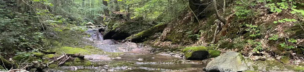 Chittenden Brook CampgroundCampingPhoto: Recreation.gov (RIDB) / public domain3.9 mi
Source: Roamze catalog (indexable pages within 10 miles, PostGIS distance)
Best months: August–October. Best months have typical highs of 55–85 °F, lows of 30 °F or warmer (32 °F where the station doesn't record snow), at most one snowy day and no more than 12 wet days.
Jan
29° / 9°
9 wet
Feb
32° / 9°
8 wet
Mar
41° / 17°
9 wet
Apr
54° / 30°
11 wet
May
67° / 41°
13 wet
Jun
75° / 50°
14 wet
Jul
79° / 55°
13 wet
Aug
78° / 54°
11 wet
Sep
72° / 47°
10 wet
Oct
58° / 36°
12 wet
Nov
46° / 27°
10 wet
Dec
35° / 16°
10 wet
Typical high / low (°F) and days with rain or snow, 1991–2020. Measured at Rochester, VT, 9.1 mi away at 830 ft. The station sits about 1,000 ft lower than this place, so expect it a little cooler here. This station doesn't record snowfall. Source: NOAA NCEI U.S. Climate Normals 1991–2020.
