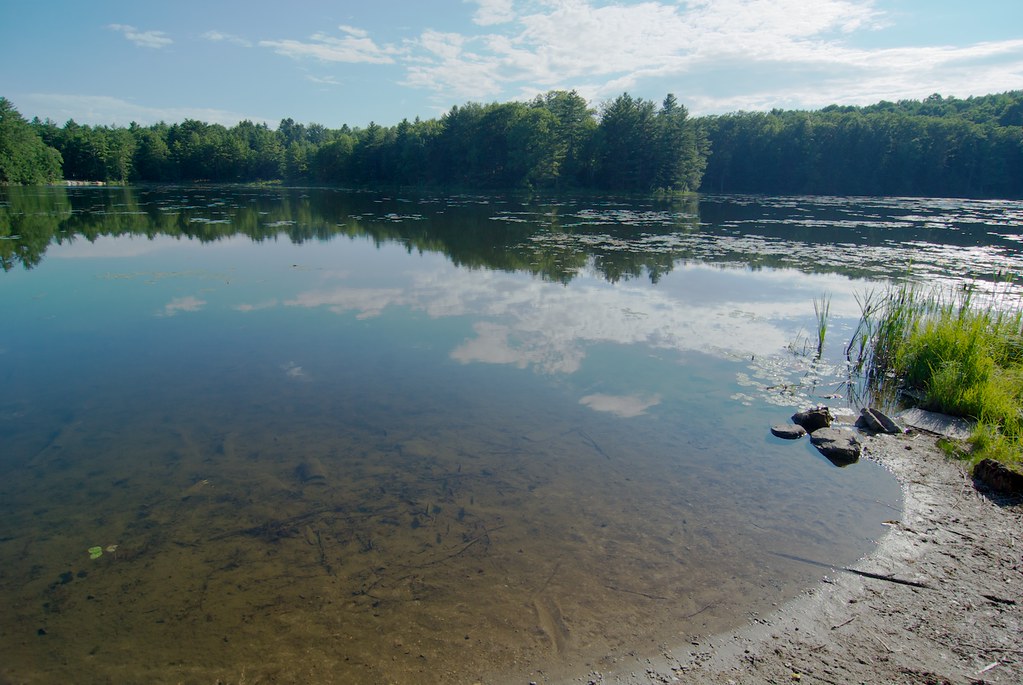
Castleton River
- 21.7 mi
- distance
- 585 ft
- high point
- Jun–Oct
- best months
Castleton River is a 22-mile paddling stretch near Castleton, Vermont, about 2.5 miles from town. It flows year-round, and USGS models an average flow of about 130 cubic feet per second with a gradient of about 10.5 feet per mile. Summer is the most comfortable time to paddle. Typical averages from a nearby weather station in Rutland show July highs around 80°F with lows near 56°F, while winter brings highs in the 20s and regular snow days from December through February. Several hiking trails sit within a few miles, including the Orourke Trail about 3.3 miles away and the Eastern Meadow Trail and Meadow Trail at about 4.2 miles. For more paddling, the Clarendon River is about 7.9 miles away.
Local outfitters
- Great River Outfitters37 mi away
Not on Roamze yet. Their page has how to reach them.
- Orourke TrailHiking3.3 mi
- Eastern Meadow TrailHiking4.2 mi
- Meadow TrailHiking4.2 mi
- Springs TrailHiking4.5 mi
- North Woods TrailHiking4.8 mi
- Clarendon RiverCanoeing7.9 mi
- Poultney RiverCanoeing8.5 mi
- Furnace BrookCanoeing9.9 mi
Source: Roamze catalog (indexable pages within 10 miles, PostGIS distance)
 La ChuteCanoeing · ~36 min drivePhoto: Katie Armstrong, Public domain (via Wikimedia Commons)
- Lake Bomoseen boat LaunchBoat launch · ~9 min drive
 Otter CreekCanoeing · ~39 min drivePhoto: Ahale at English Wikipedia, Public domain (via Wikimedia Commons)
- Lake Hortonia DamBoat launch · ~17 min drive
 Hudson RiverCanoeing · ~58 min drivePhoto: Dan DeLuca, CC BY 2.0 (via Wikimedia Commons)
- Otter CreekBoat launch · ~23 min drive
 Mad RiverCanoeing · ~58 min drivePhoto: USEPA Environmental-Protection-Agency, Public domain (via Wikimedia Commons)
- RichvilleBoat launch · ~32 min drive
- Clarendon RiverCanoeing · ~13 min drive
- Larabee's PointBoat launch · ~34 min drive
Best time to visit Castleton River
Best months: June–October. Best months have typical highs of 55–85 °F, lows of 30 °F or warmer (32 °F where the station doesn't record snow), at most one snowy day and no more than 12 wet days.
Jan
29° / 8°
13 wet · 9 snow
Feb
32° / 9°
10 wet · 8 snow
Mar
41° / 18°
12 wet · 6 snow
Apr
55° / 31°
12 wet · 2 snow
May
68° / 42°
13 wet
Jun
76° / 52°
12 wet
Jul
80° / 56°
12 wet
Aug
78° / 54°
11 wet
Sep
71° / 46°
10 wet
Oct
58° / 35°
12 wet
Nov
46° / 26°
12 wet · 3 snow
Dec
35° / 16°
14 wet · 8 snow
Typical high / low (°F) and days with rain or snow, 1991–2020. Measured at Rutland, VT, 7.7 mi away at 620 ft. Source: NOAA NCEI U.S. Climate Normals 1991–2020.