Campsite 5
Campground
Campground · 0.4 mi from the trail
Maple Trail is a short, easy out-and-back hike in Vermont, set within the Camp Brook area about 0.8 miles from Rivercrest, New Hampshire. The trail is 1.1 miles long, with a one-way climb of 328 feet from a low point of 675 feet to a high of 966 feet. The steepest stretch comes early, around 0.25 miles in, with a 20% grade. Late spring and early fall are the most comfortable times to go. Typical averages from the nearby Hanover, NH weather station show May highs around 71°F and September highs around 74°F, with July the warmest month at about 83°F. That station sits roughly 380 feet lower than the trail's high point, so temperatures up top run a little cooler. The trail sits right beside the ski touring route on Oak Hill, about 0.1 mile away, and the cross-country ski routes on The High Road and Storrs Pond Trail are each about 0.3 mile off. For an overnight stay, Velvet Rocks Shelter is about 1.2 miles away.
Campsite 5
Campground
McLaughlin Snack Bar
Fast food
 If it rainsDaderot, CC0 · Wikimedia Commons
Places © OpenStreetMap contributors · Photos: Daderot, CC0 (commons)
More in Bradford Mink BrookCanoeingPhoto: Ken Gallager at en.wikipedia, CC BY-SA 3.0 (via Wikimedia Commons)2.3 mi
Source: Roamze catalog (indexable pages within 10 miles, PostGIS distance)
 Storrs Pond TrailHiking · ~1 min drivePhoto: Šarūnas Burdulis from USA, CC BY-SA 2.0 (via Wikimedia Commons)Girl Brook TrailHiking · ~2 min drivePhoto: Šarūnas Burdulis from USA, CC BY-SA 2.0 (via Wikimedia Commons)Rope Ferry TrailHiking · ~2 min drivePhoto: Šarūnas Burdulis from USA, CC BY-SA 2.0 (via Wikimedia Commons)
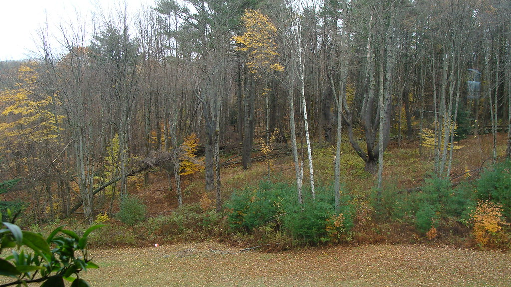 Porcupine TrailHiking · ~3 min drivePhoto: GraceFamily, CC BY 2.0 (via Flickr)
 Forrest LoopHiking · ~4 min drivePhoto: Šarūnas Burdulis from USA, CC BY-SA 2.0 (via Wikimedia Commons)
 Wheelock TrailHiking · ~4 min drivePhoto: Šarūnas Burdulis from USA, CC BY-SA 2.0 (via Wikimedia Commons)
Best months: April–June and August–October. Best months have typical highs of 55–85 °F, lows of 30 °F or warmer (32 °F where the station doesn't record snow), at most one snowy day and no more than 12 wet days.
Jan
30° / 13°
10 wet
Feb
34° / 14°
9 wet
Mar
44° / 24°
10 wet
Apr
58° / 35°
11 wet
May
71° / 46°
12 wet
Jun
79° / 55°
12 wet
Jul
83° / 61°
13 wet
Aug
82° / 59°
11 wet
Sep
74° / 52°
11 wet
Oct
60° / 40°
12 wet
Nov
47° / 31°
11 wet
Dec
36° / 20°
11 wet
Typical high / low (°F) and days with rain or snow, 1991–2020. Measured at Hanover, NH, 1.6 mi away at 584 ft. This station doesn't record snowfall. Source: NOAA NCEI U.S. Climate Normals 1991–2020.
Map and trail data © OpenStreetMap contributors
