Campsite 12
Campground
Campground · 2.0 mi from the trail
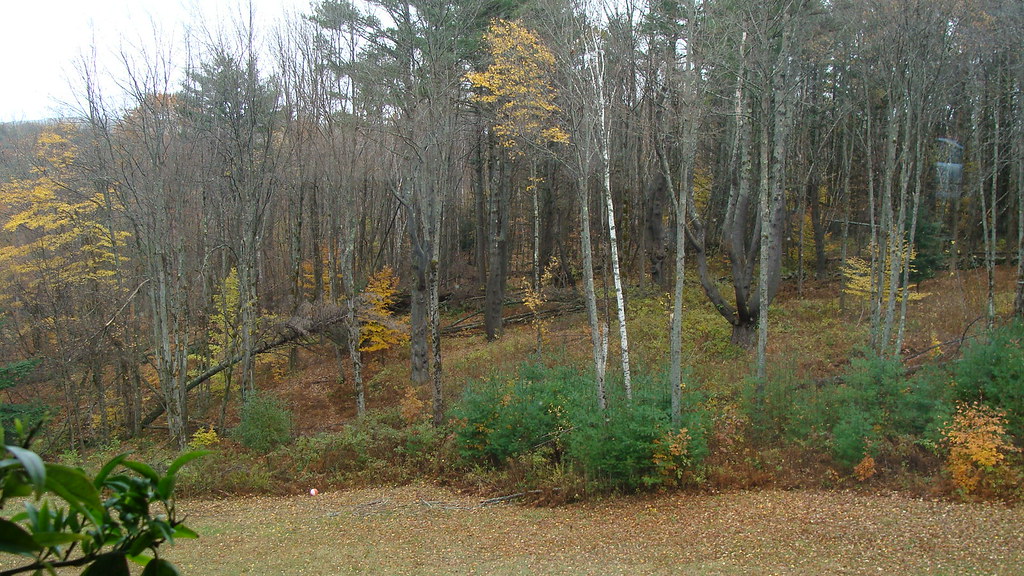 Photo: GraceFamily, CC BY 2.0 (via Flickr)
Porcupine Trail is an easy hike on Hanover Water Works Co. Land in New Hampshire, about 0.85 miles long. The trail is an out-and-back with a steady climb. The route starts at about 957 feet and reaches 1,168 feet, with a total of about 561 feet of gain and loss. The steepest stretch comes early, at about 0.36 miles in, with a 14% grade. Late spring and early fall are the most comfortable times to go. Typical averages from a nearby weather station in Hanover show May highs around 71°F and September highs around 74°F, while winter highs stay near freezing. Childs Farm Trail is just 0.1 mile away, and Poor Farm Trail East and Mason Trail are each about 0.3 mile off. For paddling, Mink Brook is roughly 1.9 miles away.
Campsite 12
Campground
 If it rainsDaderot, CC0 · Wikimedia Commons
Places © OpenStreetMap contributors, Places © Overture Maps Foundation · Photos: Daderot, CC0 (commons)
More in BradfordDaily highs and lows, wind and the chance of precipitation at the summit and route start for the next 7 days, from the Open-Meteo model.
 Mink BrookCanoeingPhoto: Ken Gallager at en.wikipedia, CC BY-SA 3.0 (via Wikimedia Commons)1.9 mi
Source: Roamze catalog (indexable pages within 10 miles, PostGIS distance)
 Storrs Pond TrailHiking · ~4 min drivePhoto: Šarūnas Burdulis from USA, CC BY-SA 2.0 (via Wikimedia Commons)
 North Cabin TrailHiking · ~4 min drivePhoto: Šarūnas Burdulis from USA, CC BY-SA 2.0 (via Wikimedia Commons)David's TrailHiking · ~4 min drivePhoto: Šarūnas Burdulis from USA, CC BY-SA 2.0 (via Wikimedia Commons)
 General's TrailHiking · ~5 min drivePhoto: Šarūnas Burdulis from USA, CC BY-SA 2.0 (via Wikimedia Commons)Girl Brook TrailHiking · ~5 min drivePhoto: Šarūnas Burdulis from USA, CC BY-SA 2.0 (via Wikimedia Commons)Rope Ferry TrailHiking · ~5 min drivePhoto: Šarūnas Burdulis from USA, CC BY-SA 2.0 (via Wikimedia Commons)
Best months: April–June and August–October. Best months have typical highs of 55–85 °F, lows of 30 °F or warmer (32 °F where the station doesn't record snow), at most one snowy day and no more than 12 wet days.
Jan
30° / 13°
10 wet
Feb
34° / 14°
9 wet
Mar
44° / 24°
10 wet
Apr
58° / 35°
11 wet
May
71° / 46°
12 wet
Jun
79° / 55°
12 wet
Jul
83° / 61°
13 wet
Aug
82° / 59°
11 wet
Sep
74° / 52°
11 wet
Oct
60° / 40°
12 wet
Nov
47° / 31°
11 wet
Dec
36° / 20°
11 wet
Typical high / low (°F) and days with rain or snow, 1991–2020. Measured at Hanover, NH, 3.3 mi away at 584 ft. The station sits about 600 ft lower than this place, so expect it a little cooler here. This station doesn't record snowfall. Source: NOAA NCEI U.S. Climate Normals 1991–2020.
About 0.9 mi round trip.
About 561 ft of climbing round trip.
It is rated easy.
About 0.5 hours round trip.
2: Paige Hill Trail and Porcupine Trail.
Map and trail data © OpenStreetMap contributors
