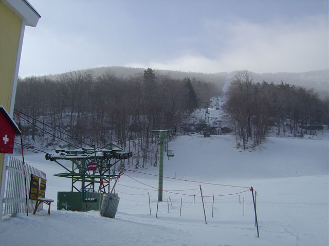
Maple Hill Campsites
Campground
Campground · 5.3 mi from the trail
Long Trail is a long-distance out-and-back hike in Vermont, stretching about 31.6 miles with a total elevation gain of 10,144 feet. The trail begins at an elevation of about 2,394 feet and climbs to a high point of 4,021 feet. Because the total gain is more than twice the figure for one way, plan for a round trip, and expect the steepest stretch at about 9.3 miles in, where the grade reaches 38%. The nearest town is Hanksville, about 3 miles away. The hike is rated expert, and a full day of 15.5 hours is a reasonable estimate for the round trip. Several other trails lie within a few miles. The Beane Trail is 1.8 miles away, the Catamount Trail is 1.9 miles away, and the Jerusalem Trail is 2.2 miles away. For paddling, Lewis Creek is about 5.7 miles off.
Maple Hill Campsites
Campground
 If it rainsVermontMaple, Public domain · Wikimedia Commons
Places © OpenStreetMap contributors, Places © Overture Maps Foundation · Photos: VermontMaple, Public domain (commons)
More in South BurlingtonDaily highs and lows, wind and the chance of precipitation at the summit and route start for the next 7 days, from the Open-Meteo model.
 Jerusalem TrailHikingPhoto: dvs, CC BY 2.0 (via Wikimedia Commons)2.2 mi
Source: Roamze catalog (indexable pages within 10 miles, PostGIS distance)
Long TrailHiking · ~2 min drivePhoto: dvs, CC BY 2.0 (via Wikimedia Commons)Jerusalem TrailHiking · ~4 min drivePhoto: dvs, CC BY 2.0 (via Wikimedia Commons) Allis TrailHiking · ~12 min drivePhoto: matt.a, CC BY 3.0 (via Wikimedia Commons)
 Honey Hollow TrailHiking · ~17 min drivePhoto: Magicpiano, CC BY-SA 4.0 (via Wikimedia Commons)
 Forest City TrailHiking · ~11 min drivePhoto: matt.a, CC BY 3.0 (via Wikimedia Commons)Dean TrailHiking · ~13 min drivePhoto: matt.a, CC BY 3.0 (via Wikimedia Commons)
 Lost TrailHiking · ~16 min drivePhoto: Magicpiano, CC BY-SA 4.0 (via Wikimedia Commons)Alpine TrailHiking · ~13 min drivePhoto: matt.a, CC BY 3.0 (via Wikimedia Commons)
 Eagle's TrailHiking · ~17 min drivePhoto: Magicpiano, CC BY-SA 4.0 (via Wikimedia Commons)
About 15.8 mi round trip.
About 10,144 ft of climbing round trip.
It is rated expert.
About 7.5 hours round trip.
2: Alpine Trail and Long Trail.
Map and trail data © OpenStreetMap contributors