Hump Brook Campsite
Campground
Campground · 1.5 mi from the trail
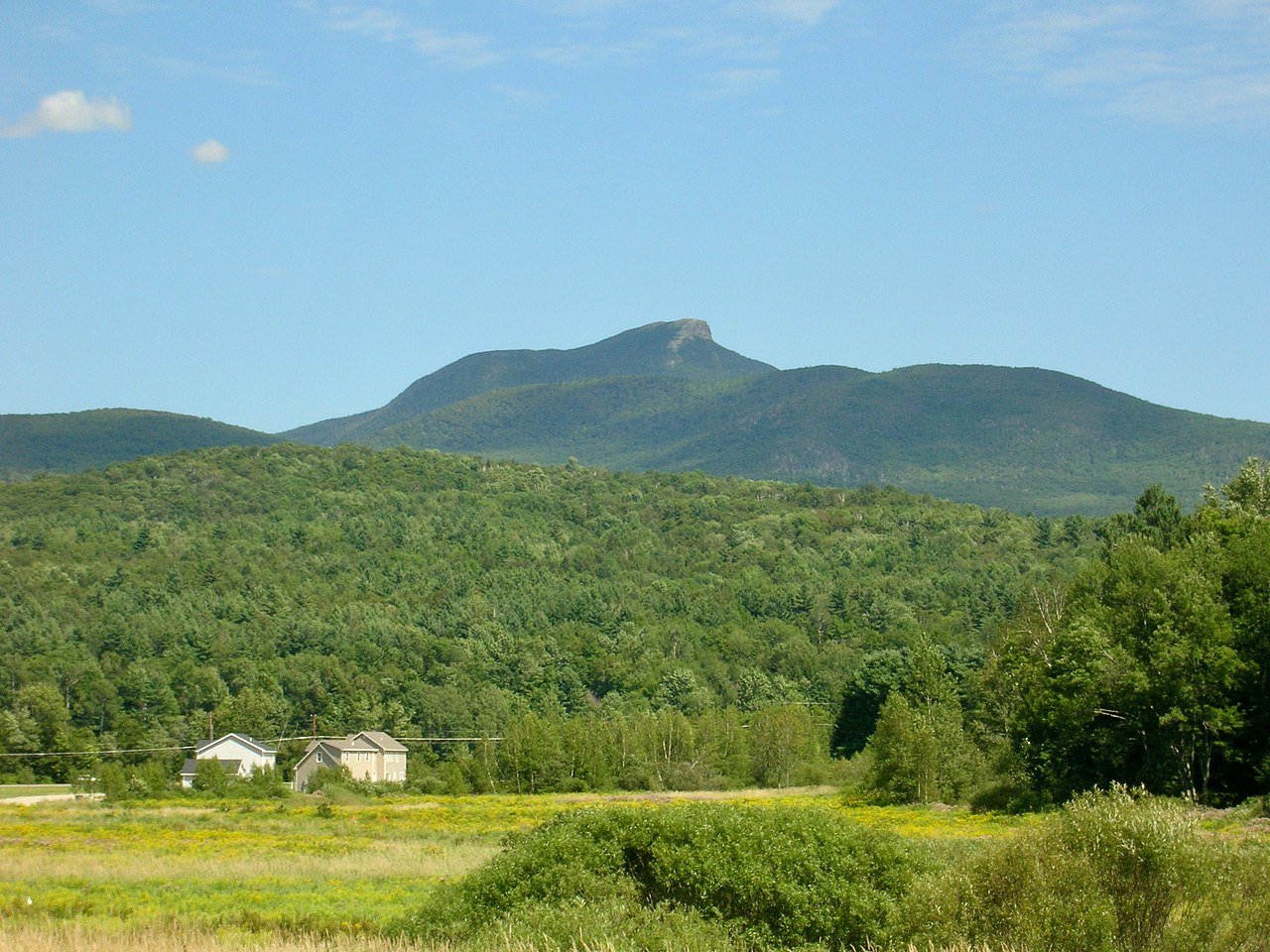
Camels Hump View Trail is a short loop in Vermont, about 0.8 miles long, with a high point of 1,416 feet. It starts at roughly 1,302 feet and reaches its top in the first half of the route, then descends to about 1,295 feet before looping back. The steepest stretch comes at about 0.59 miles in, with a grade of 9 percent. The trail is rated easy, and it can be done in about half an hour. The nearest town is North Duxbury, about 3 miles away. Summer is the most comfortable time to go. July typically brings highs around 77°F and lows near 56°F, based on averages from a nearby weather station at Waitsfield. That station sits roughly 274 feet lower than the trail's high point, so temperatures up top run a little cooler. Other nearby trails include Monroe Trail, about 0.4 miles away, and Dean Trail, about 1.4 miles off. Climbers can head to Bog Wall, about 3 miles away, and Little River State Park offers camping about 5 miles out.
Hump Brook Campsite
Campground
Blackback pub
Bar
 If it rainsVermontMaple, Public domain · Wikimedia Commons
Places © OpenStreetMap contributors · Photos: VermontMaple, Public domain (commons)
More in South Burlington Monroe TrailHikingPhoto: matt.a, CC BY 3.0 (via Wikimedia Commons)0.4 miDean TrailHikingPhoto: matt.a, CC BY 3.0 (via Wikimedia Commons)1.4 mi
 Allis TrailHikingPhoto: matt.a, CC BY 3.0 (via Wikimedia Commons)2.2 mi
Source: Roamze catalog (indexable pages within 10 miles, PostGIS distance)
Monroe TrailHiking · Next doorPhoto: matt.a, CC BY 3.0 (via Wikimedia Commons)Dean TrailHiking · ~2 min drivePhoto: matt.a, CC BY 3.0 (via Wikimedia Commons)Allis TrailHiking · ~4 min drivePhoto: matt.a, CC BY 3.0 (via Wikimedia Commons) Honey Hollow TrailHiking · ~8 min drivePhoto: Magicpiano, CC BY-SA 4.0 (via Wikimedia Commons)Alpine TrailHiking · ~4 min drivePhoto: matt.a, CC BY 3.0 (via Wikimedia Commons)Long TrailHiking · ~8 min drivePhoto: Magicpiano, CC BY-SA 4.0 (via Wikimedia Commons)Forest City TrailHiking · ~4 min drivePhoto: matt.a, CC BY 3.0 (via Wikimedia Commons)
Best months: May–October. Best months have typical highs of 55–85 °F, lows of 30 °F or warmer (32 °F where the station doesn't record snow), at most one snowy day and no more than 12 wet days.
Jan
28° / 10°
Feb
30° / 12°
Mar
38° / 19°
Apr
51° / 31°
May
64° / 42°
Jun
72° / 51°
Jul
77° / 56°
Aug
76° / 54°
Sep
69° / 46°
Oct
55° / 36°
Nov
44° / 27°
Dec
33° / 18°
Typical high / low (°F) and days with rain or snow, 1991–2020. Measured at Waitsfield 2 Se, VT, 9.9 mi away at 1,142 ft. This station doesn't record snowfall. Source: NOAA NCEI U.S. Climate Normals 1991–2020.
Map and trail data © OpenStreetMap contributors