Little River State Park
Campground
Campground · 3.6 mi from the trail
Bog Wall is a climbing area in Vermont, about 0.8 miles from the town of North Duxbury. It sits right next to the Beneath the Bog Boulders climbing area, which is just 0.1 mile away, and the Dometop and The Pirate's Cove climbing areas are each about a mile off. The area has 13 routes, with sport and trad styles both well represented. The grades run from 5.7 up to 5.10d, with the hardest route, Buttplugs Tsunami, a top-rope climb at 5.10d. Among the sport routes are Rumney Stylee at 5.7 and Home Again at 5.8+, and the trad route Cattail is also at 5.7. For timing, late spring through early fall is the most comfortable stretch. Typical averages from a nearby weather station in Montpelier show September highs around 73°F with lows near 50°F, while July highs reach about 82°F. Winters are cold, with January highs averaging around 28°F. Nearby, the Winooski River offers fishing about 1.7 miles away, the Long Trail is about 2.7 miles off, and Little River State Park is about 3.6 miles away.
Little River State Park
Campground
Blackback pub
Bar
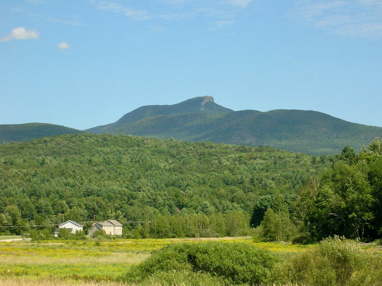
 If it rainsVermontMaple, Public domain · Wikimedia Commons
Places © OpenStreetMap contributors · Photos: VermontMaple, Public domain (commons)
More in South Burlington Long TrailHikingPhoto: Magicpiano, CC BY-SA 4.0 (via Wikimedia Commons)2.7 mi
 Monroe TrailHikingPhoto: matt.a, CC BY 3.0 (via Wikimedia Commons)3 mi
Source: Roamze catalog (indexable pages within 10 miles, PostGIS distance)
Best months: August–September. Best months have typical highs of 55–85 °F, lows of 30 °F or warmer (32 °F where the station doesn't record snow), at most one snowy day and no more than 12 wet days.
Jan
28° / 7°
15 wet
Feb
31° / 9°
12 wet
Mar
40° / 18°
13 wet
Apr
53° / 32°
12 wet
May
67° / 44°
13 wet
Jun
76° / 54°
13 wet
Jul
82° / 59°
13 wet
Aug
80° / 57°
11 wet
Sep
73° / 50°
10 wet
Oct
58° / 38°
13 wet
Nov
45° / 28°
14 wet
Dec
32° / 17°
16 wet
Typical high / low (°F) and days with rain or snow, 1991–2020. Measured at Montpelier 2, VT, 14.1 mi away at 530 ft. This station doesn't record snowfall. Source: NOAA NCEI U.S. Climate Normals 1991–2020.