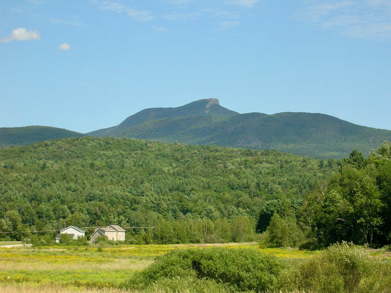
Hump Brook Campsite
Campground
Campground · 1.1 mi from the trail
Burrows Trail is a 4-mile out-and-back hike in northern Vermont, about 3.5 miles from the town of Bolton. The trail starts at a high point of about 3,850 feet and drops to roughly 1,850 feet before returning, so the whole route has a total climb of about 2,040 feet and a total descent of the same. The most dramatic stretch comes early, where the trail drops steeply for about 0.3 miles with a grade of around 40%. The hike is rated hard, and that steep drop is the reason. It makes for a long, steady climb up and a long, steady descent back, with the high point at the top of the descent. Summer is the most comfortable time to go. Typical July highs reach about 69°F with lows near 55°F, based on averages from a nearby weather station at Mt Mansfield. Winters are cold, with January highs around 21°F and lows near 6°F. The Alpine Trail sits just 0.2 miles away, and the Dean Trail and Allis Trail are both within about a mile and a half. Little River State Park, about 6.6 miles away, offers camping.
Hump Brook Campsite
Campground
 If it rainsVermontMaple, Public domain · Wikimedia Commons
Places © OpenStreetMap contributors, Places © Overture Maps Foundation · Photos: VermontMaple, Public domain (commons)
More in South Burlington Alpine TrailHikingPhoto: matt.a, CC BY 3.0 (via Wikimedia Commons)0.2 mi
 Dean TrailHikingPhoto: matt.a, CC BY 3.0 (via Wikimedia Commons)1.2 miAllis TrailHikingPhoto: matt.a, CC BY 3.0 (via Wikimedia Commons)1.3 mi
Source: Roamze catalog (indexable pages within 10 miles, PostGIS distance)
Alpine TrailHiking · Next doorPhoto: matt.a, CC BY 3.0 (via Wikimedia Commons)Dean TrailHiking · ~2 min drivePhoto: matt.a, CC BY 3.0 (via Wikimedia Commons)Allis TrailHiking · ~2 min drivePhoto: matt.a, CC BY 3.0 (via Wikimedia Commons) Honey Hollow TrailHiking · ~4 min drivePhoto: Magicpiano, CC BY-SA 4.0 (via Wikimedia Commons)Forest City TrailHiking · ~2 min drivePhoto: matt.a, CC BY 3.0 (via Wikimedia Commons)Long TrailHiking · ~6 min drivePhoto: Magicpiano, CC BY-SA 4.0 (via Wikimedia Commons)Monroe TrailHiking · ~3 min drivePhoto: matt.a, CC BY 3.0 (via Wikimedia Commons)
No month here meets our mild-weather rule. Best months have typical highs of 55–85 °F, lows of 30 °F or warmer (32 °F where the station doesn't record snow), at most one snowy day and no more than 12 wet days.
Jan
21° / 6°
21 wet
Feb
23° / 7°
18 wet
Mar
30° / 16°
17 wet
Apr
43° / 28°
15 wet
May
57° / 41°
16 wet
Jun
65° / 50°
16 wet
Jul
69° / 55°
16 wet
Aug
68° / 54°
15 wet
Sep
61° / 47°
14 wet
Oct
48° / 35°
15 wet
Nov
36° / 23°
17 wet
Dec
27° / 13°
21 wet
Typical high / low (°F) and days with rain or snow, 1991–2020. Measured at Mt Mansfield, VT, 14.4 mi away at 3,950 ft. This station doesn't record snowfall. Source: NOAA NCEI U.S. Climate Normals 1991–2020.
Map and trail data © OpenStreetMap contributors