Beacon Hill Loop
- 1.2 mi
- round trip
- 758 ft
- climb
- 1,178 ft
- high point
- Out and back
- route
- Apr
- best months
Beacon Hill Loop is a 2.48-mile out-and-back trail in Vermont with 758 feet of elevation gain and loss. The trail reaches a maximum elevation of 1,178 feet.
- Monument TrailHiking0.3 mi
- Pond LoopHiking0.3 mi
- WB Brown TrailHiking0.5 mi
- Tower TrailHiking0.6 mi
- North Hartland Lake Beach (vt)Camping3.6 mi
- Velvet Rocks ShelterCamping6 mi
 Mink BrookCanoeingPhoto: Ken Gallager at en.wikipedia, CC BY-SA 3.0 (via Wikimedia Commons)7 mi
- Barnard BrookCanoeing9.9 mi
Source: Roamze catalog (indexable pages within 10 miles, PostGIS distance)
 Ottauquechee TrailHiking · ~5 min drivePhoto: Šarūnas Burdulis from USA, CC BY-SA 2.0 (via Wikimedia Commons)
- Hazen TrailHiking · ~6 min drive
- McKnight TrailHiking · ~5 min drivePhoto: Šarūnas Burdulis from USA, CC BY-SA 2.0 (via Wikimedia Commons)
- Mink Brook TrailHiking · ~8 min drive
 Quechee Gorge TrailHiking · ~5 min drivePhoto: Šarūnas Burdulis from USA, CC BY-SA 2.0 (via Wikimedia Commons)
 Alana Cole Loop TrailHiking · ~6 min drivePhoto: Šarūnas Burdulis from USA, CC BY-SA 2.0 (via Wikimedia Commons)
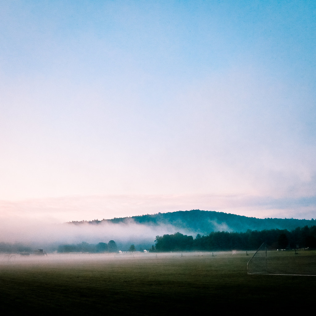 Indian RidgeHiking · ~7 min drivePhoto: Kan W., CC BY 2.0 (via Flickr)
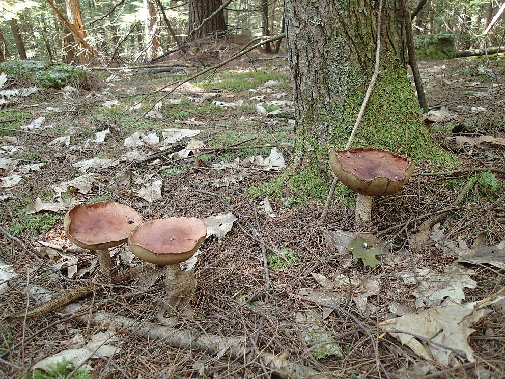 PathfinderHiking · ~8 min drivePhoto: Northfoot Adventures, CC BY 2.0 (via Flickr)
- Trout Brook TrailHiking · ~8 min drivePhoto: Šarūnas Burdulis from USA, CC BY-SA 2.0 (via Wikimedia Commons)
 Cossingham TrailHiking · ~8 min drivePhoto: HopsonRoad, CC BY-SA 3.0 (via Wikimedia Commons)
Best time to visit Beacon Hill Loop
Best months: April. Best months have typical highs of 55–85 °F, lows of 30 °F or warmer (32 °F where the station doesn't record snow), at most one snowy day and no more than 12 wet days.
Jan
30° / 9°
11 wet
Feb
34° / 11°
10 wet
Mar
43° / 21°
11 wet
Apr
57° / 32°
12 wet
May
70° / 44°
14 wet
Jun
78° / 52°
14 wet
Jul
83° / 58°
15 wet
Aug
81° / 56°
14 wet
Sep
73° / 49°
13 wet
Oct
60° / 37°
13 wet
Nov
47° / 28°
12 wet
Dec
35° / 18°
12 wet
Typical high / low (°F) and days with rain or snow, 1991–2020. Measured at Lebanon Muni Ap, NH, 2.7 mi away at 598 ft. The station sits about 600 ft lower than this place, so expect it a little cooler here. This station doesn't record snowfall. Source: NOAA NCEI U.S. Climate Normals 1991–2020.
Map and trail data © OpenStreetMap contributors
