Velvet Rocks Shelter
Campground
Campground · 2.6 mi from the trail
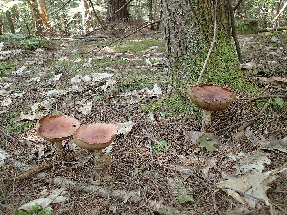 Photo: Northfoot Adventures, CC BY 2.0 (via Flickr)
Pathfinder is a short, easy hike on Landmark Lands in New Hampshire, about half a mile from the town of Hanover. It is a private property, so plan accordingly when you approach. The route is an out-and-back that starts and ends at a high point of about 909 feet. The climb is gentle, with a total one-way gain of about 35 feet and a round trip of about 154 feet. The steepest stretch comes at about a quarter of a mile in, with a grade of roughly 6%. Summer is the most comfortable time to go. Typical averages from the nearby Hanover weather station run from highs around 79°F in June to about 83°F in July, and the trail sits a few hundred feet higher than the station, so expect it to run slightly cooler. Several other trails start close by, including the Albert Schweitzer Trails about 0.7 miles away and Burnt Mountain and Oak at about 0.9 miles. For an overnight stay, Velvet Rocks Shelter is about 2.6 miles off.
Velvet Rocks Shelter
Campground
 If it rainsDaderot, CC0 · Wikimedia Commons
Places © OpenStreetMap contributors, Places © Overture Maps Foundation · Photos: Daderot, CC0 (commons)
More in Bradford Mink BrookCanoeingPhoto: Ken Gallager at en.wikipedia, CC BY-SA 3.0 (via Wikimedia Commons)2.7 mi
Source: Roamze catalog (indexable pages within 10 miles, PostGIS distance)
 Indian RidgeHiking · ~2 min drivePhoto: Kan W., CC BY 2.0 (via Flickr)
 Trout Brook TrailHiking · ~3 min drivePhoto: Šarūnas Burdulis from USA, CC BY-SA 2.0 (via Wikimedia Commons)
 Wheelock TrailHiking · ~3 min drivePhoto: Šarūnas Burdulis from USA, CC BY-SA 2.0 (via Wikimedia Commons)
 Forrest LoopHiking · ~4 min drivePhoto: Šarūnas Burdulis from USA, CC BY-SA 2.0 (via Wikimedia Commons)Alana Cole Loop TrailHiking · ~4 min drivePhoto: Šarūnas Burdulis from USA, CC BY-SA 2.0 (via Wikimedia Commons)
Best months: April–June and August–October. Best months have typical highs of 55–85 °F, lows of 30 °F or warmer (32 °F where the station doesn't record snow), at most one snowy day and no more than 12 wet days.
Jan
30° / 13°
10 wet
Feb
34° / 14°
9 wet
Mar
44° / 24°
10 wet
Apr
58° / 35°
11 wet
May
71° / 46°
12 wet
Jun
79° / 55°
12 wet
Jul
83° / 61°
13 wet
Aug
82° / 59°
11 wet
Sep
74° / 52°
11 wet
Oct
60° / 40°
12 wet
Nov
47° / 31°
11 wet
Dec
36° / 20°
11 wet
Typical high / low (°F) and days with rain or snow, 1991–2020. Measured at Hanover, NH, 3 mi away at 584 ft. This station doesn't record snowfall. Source: NOAA NCEI U.S. Climate Normals 1991–2020.
Map and trail data © OpenStreetMap contributors
