Fish Creek Campground and Trailhead
Campground
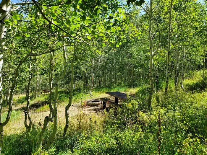
Campground · 2.6 mi from the trail
 Photo: An Errant Knight, CC BY-SA 4.0 (via Wikimedia Commons)
Scofield State Park is a Utah state park managed by State Park and Recreation, about 4 miles from the town of Scofield. It serves as a base for a cluster of trails, campgrounds and paddling on Fish Creek, with several destinations within a few miles of the park. Summer is the most comfortable time to visit. Typical averages from the nearby Scofield Dam weather station, at about 7,600 feet, show July and August highs around 78°F with lows near 45°F, while winter highs stay in the 30s and lows drop to about 4°F. Fish Creek Campground and Trailhead and the Anderson Canyon hike are both about 2.6 miles away. Fish Creek, a canoeing spot, is about 5 miles off, and the Trail to Commisionary Springs is about 5.4 miles away.
Fish Creek Campground and Trailhead
Campground
KJ's Catch N Snack
Restaurant
Fairview Museum of History and Art
Museum
Places © OpenStreetMap contributors, Places © Overture Maps Foundation
More in Mount PleasantPark size
3,925 acres
 Gooseberry Creek CampgroundCampingPhoto: Recreation.gov (RIDB) / public domain9.9 mi
Source: Roamze catalog (indexable pages within 10 miles, PostGIS distance)
 Starvation State ParkState park · ~1h 20m drivePhoto: Staplegunther (talk)David Jolley, CC BY-SA 3.0 (via Wikimedia Commons)
 Deer Creek State ParkState park · ~1h 24m drivePhoto: Mike Nielsen, CC BY-SA 2.0 (via Wikimedia Commons)
 Huntington State ParkState park · ~55 min drivePhoto: Mega Hammond, CC BY-SA 2.0 (via Wikimedia Commons)
Best months: May–September. Best months have typical highs of 55–85 °F, lows of 30 °F or warmer (32 °F where the station doesn't record snow), at most one snowy day and no more than 12 wet days.
Jan
30° / 4°
Feb
34° / 6°
Mar
42° / 15°
Apr
49° / 25°
May
61° / 32°
Jun
72° / 39°
Jul
78° / 45°
Aug
78° / 45°
Sep
68° / 37°
Oct
55° / 29°
Nov
42° / 18°
Dec
31° / 6°
Typical high / low (°F) and days with rain or snow, 1991–2020. Measured at Scofield Dam, UT, 1.9 mi away at 7,630 ft. We don't have this place's elevation, so higher spots nearby can run cooler. This station doesn't record snowfall. Source: NOAA NCEI U.S. Climate Normals 1991–2020.
