

Up The Creek Campground
Hiking business nearby (~23 mi away) — hasn't claimed their Roamze page yet
Free — you'll pick up right here.
Watch this trail
Sign up to watch it — saving subscribes you to gate, closure and report changes.
Utah
7.3 mi
Distance
1,678 ft
Gain
3h 13m
Time
We won't guess. Here is exactly what we do and don't know.
What we do know
Inside Canyonlands National Park
National Park unit boundary is mapped — agency alerts for it feed this page automatically.
Boundary data
What's missing
No access route mapped
We don't yet know which road reaches this trailhead, so we can't tell you if it's gated.
Nobody's filed a report here yet — be the first.
Why you'll love it
Murphy Hogback Loop
AI-suggested draft · review before you go
Murphy Hogback Loop is a 7.25-mile out-and-back trail in Utah managed by the National Park Service. The trail gains 1,597 feet of elevation.
Murphy Loop Trail
~0 min drive
A great full-day hike, the Murphy Trail offers outstanding views from atop the Murphy Hogback and White Rim Road. This trail starts at the same trailhead as the moderate Murphy Point Overlook Trail. Pay close attention at the junction. Roundtrip Distance: 10.8 mi (17.4 km)…
 Photo: Peter K., CC BY-SA 3.0 (via Wikimedia Commons)
Mesa Arch Loop Trail
~4 min drive
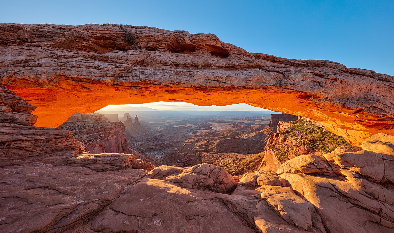
0.66-mile out-and-back out-and-back at Mesa Arch in Utah with 69 ft elevation gain.
 Photo: BFS Man from Webster, TX, USA, CC BY 2.0 (via Wikimedia Commons)
Gooseberry Canyon
~4 min drive
2.30-mile out-and-back trail in Utah with 1,537 ft elevation loss.
 Photo: Peter K., CC BY-SA 3.0 (via Wikimedia Commons)
Grand View Rim
~5 min drive
0.87-mile out-and-back trail in Utah with 1,437 ft elevation gain.
Murphy Point Trail
~0 min drive
People seeking a mostly level hike longer than just a mile might enjoy the Murphy Point Trail. It leaves the pavement and vehicle sounds behind, and offers the change to imagine what Canyonlands looked like during its ranching days before it became a national park. Roundtrip…
White Rim Overlook Trail
~4 min drive
When the parking lot at Grand View Point is full, this easy hike is a good alternative with similar views of Monument Basin. People uncomfortable with exposure to heights may find it less challenging that the Grand View Point Trail, as well. Roundtrip Distance: 1.8 mi (2.9…
Wilhite Trail
~7 min drive
A primitive trail with steep switchbacks drops 1,600 feet (488 m) into a long, sandy wash. Follow the wash to the White Rim Road. No shade. Roundtrip Distance: 11.4 mi (18.3 km) Time: 6-8 hrs Elevation Change: 1,693 ft (516 m) Difficulty: Strenuous– Mesa Top to White Rim…
 Photo: Greg Willis from Denver, CO, usa, CC BY-SA 2.0 (via Wikimedia Commons)
Wilhite
~9 min drive
5.71-mile out-and-back trail in Utah with 2,269 ft of elevation gain.
Gooseberry Trail
~4 min drive
This is the steepest trail in this district of Canyonlands, descending over a thousand feet of scree slopes and switchbacks across sheer cliffs. Roundtrip Distance: 4.6 mi (7.4 km) Time: 4-6 hrs Elevation Change: 1,529 ft (466 m) Difficulty: Strenuous– Mesa Top to White Rim…
Mesa Arch Trail
~4 min drive
Perched at the edge of the mesa top, this 27-foot-long (8.3 m) arch frames views of the canyon far below and the La Sal Mountains in the distance. The loop hike has slightly more elevation change at the beginning if you travel counter-clockwise. To reduce the number of…
Also worth it near here
Local operatorsoffering guided trips. You book directly with them — Roamze doesn’t take a cut.
Up The Creek Campground
Hiking business nearby (~23 mi away) — hasn't claimed their Roamze page yet
Moab Rim Campark
Hiking business nearby (~23 mi away) — hasn't claimed their Roamze page yet
Spanish Trail RV Park
Hiking business nearby (~23 mi away) — hasn't claimed their Roamze page yet
