Reservoir Ridge
Reservoir Ridge in Utah has 9 climbing routes across 4 grades in mixed, sport, and trad styles.
 Photo: Curtis Abert, CC BY 2.0 (via Flickr)
- 9 routes
- 5.4 – 5.7
- Sport · Trad · Mixed
Is Reservoir Ridge open right now?
No closures listed
The Forest Service lists no closures for Uinta-Wasatch-Cache National Forest.
As of · Source: USFS · Uinta-Wasatch-Cache National Forest. Agencies don't list every closure — check before you go.
Best time to visit Reservoir Ridge
Best months: April–June and September–October. Best months have typical highs of 55–85 °F, lows of 30 °F or warmer (32 °F where the station doesn't record snow), at most one snowy day and no more than 12 wet days.
Jan
38° / 23°
9 wet
Feb
44° / 27°
8 wet
Mar
54° / 34°
9 wet
Apr
61° / 39°
10 wet
May
71° / 48°
9 wet
Jun
82° / 57°
5 wet
Jul
91° / 67°
3 wet
Aug
89° / 66°
5 wet
Sep
79° / 56°
6 wet
Oct
64° / 43°
7 wet
Nov
49° / 32°
8 wet
Dec
38° / 23°
9 wet
Typical high / low (°F) and days with rain or snow, 1991–2020. Measured at Cottonwood Weir, UT, 2.1 mi away at 4,986 ft. The station sits about 900 ft lower than this place, so expect it a little cooler here. This station doesn't record snowfall. Source: NOAA NCEI U.S. Climate Normals 1991–2020.
Reservoir Ridge is a climbing area in the Mount Olympus Wilderness, part of the Salt Lake Ranger District of the Uinta-Wasatch-Cache National Forest in Utah. The Forest Service manages the land, and the area sits within designated wilderness. The climbing here is a mix of sport and trad routes, with the Reservoir Ridge route itself a trad climb rated 5.4. Sport routes run from 5.5 to 5.7, including War Clamor and Iraq in the Back Attack, both first ascents by James Garrett. The area is compact, with Damned Wall and Static Wall both about 0.1 mile away, and the Mule Hollow hike also within a tenth of a mile. For timing, late spring and early fall are the most comfortable. Typical averages from a nearby weather station at Cottonwood Weir show May highs around 71°F and September highs around 79°F, while July averages a high of 91°F. That station sits about 865 feet lower than the ridge, so temperatures on the ridge run cooler. Lake Florence and Lake Lillian are both about 2.9 miles away, and Tanners Flat Campground is about 4.4 miles off.
Keep exploring — more climbs worth the drive
 Photo: Curtis Abert, CC BY 2.0 (via Flickr)
Damned Wall
~0 min drive
Damned Wall in Utah has 7 climbing routes across 6 difficulty grades, offering sport and trad climbing.
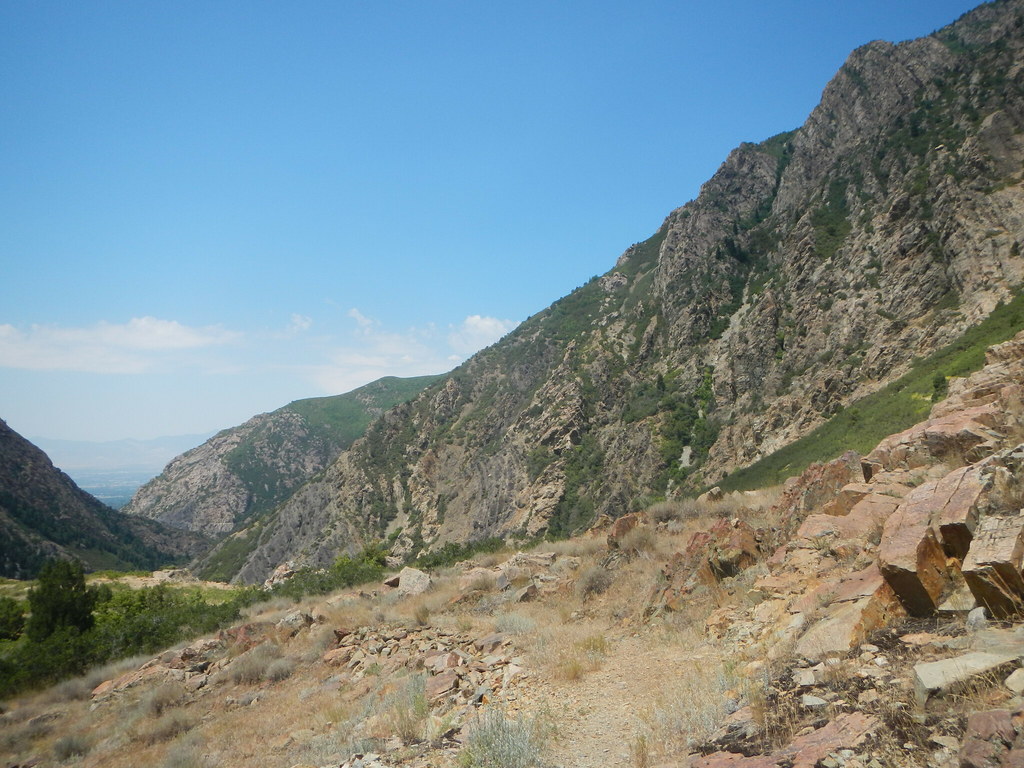 Photo: Curtis Abert, CC BY 2.0 (via Flickr)
Static Wall
~0 min drive
Static Wall in Utah has 5 climbing routes ranging across 5 difficulty grades.
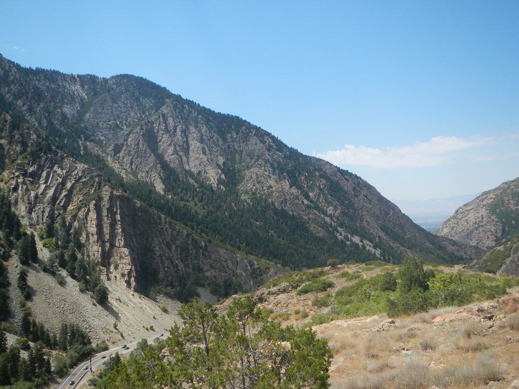 Photo: Curtis Abert, CC BY 2.0 (via Flickr)
Psychobabble Wall
~0 min drive
Psychobabble Wall in Utah has 8 mixed, sport, and trad climbing routes.
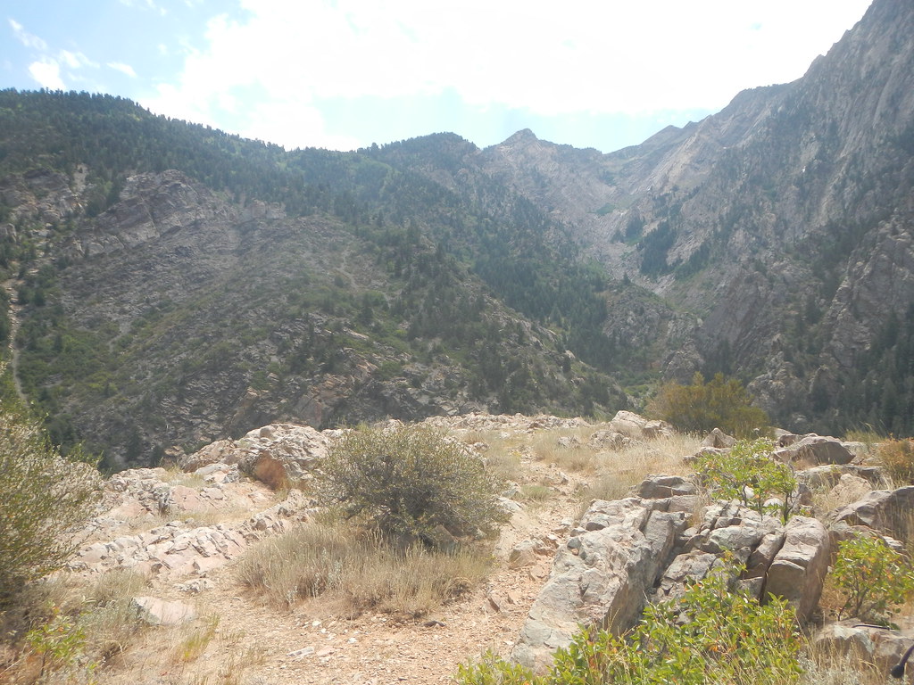 Photo: Curtis Abert, CC BY 2.0 (via Flickr)
Storm Mountain Island
~0 min drive
Storm Mountain Island in Utah has 27 climbing routes across 13 grades.
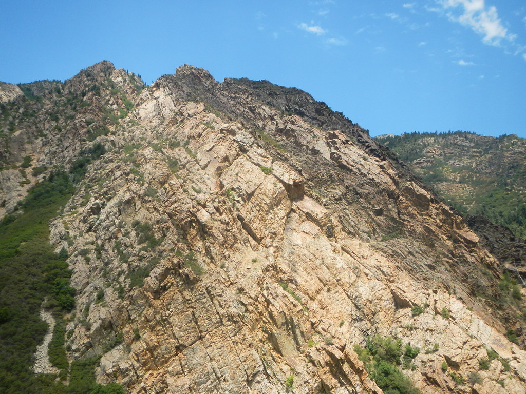 Photo: Curtis Abert, CC BY 2.0 (via Flickr)
Dark Star Gully
~0 min drive
Dark Star Gully in Utah has 10 routes ranging from 5.6 to 5.11c.
Photo: Curtis Abert, CC BY 2.0 (via Flickr)Autumnal Wall
~0 min drive
Autumnal Wall in Utah has 7 climbing routes across 5 grades, offering sport and trad options.
 Photo: randomduck, CC BY-SA 2.0 (via Flickr)
Face to Face
~0 min drive
Face to Face in Utah has 6 routes with 5 difficulty grades, offering mixed and traditional climbing.
 Photo: Curtis Abert, CC BY 2.0 (via Flickr)
North and West Faces
~1 min drive
North and West Faces in Utah has 18 climbing routes with 13 difficulty grades, offering sport and trad options.
Photo: Curtis Abert, CC BY 2.0 (via Flickr)East Face
~1 min drive
East Face in Utah has 22 climbing routes across 11 grades, offering sport and trad options.
 Photo: Curtis Abert, CC BY 2.0 (via Flickr)
Gully of Higher Education Area
~1 min drive
Gully of Higher Education Area in Utah has 10 climbing routes ranging across 10 difficulty grades.


