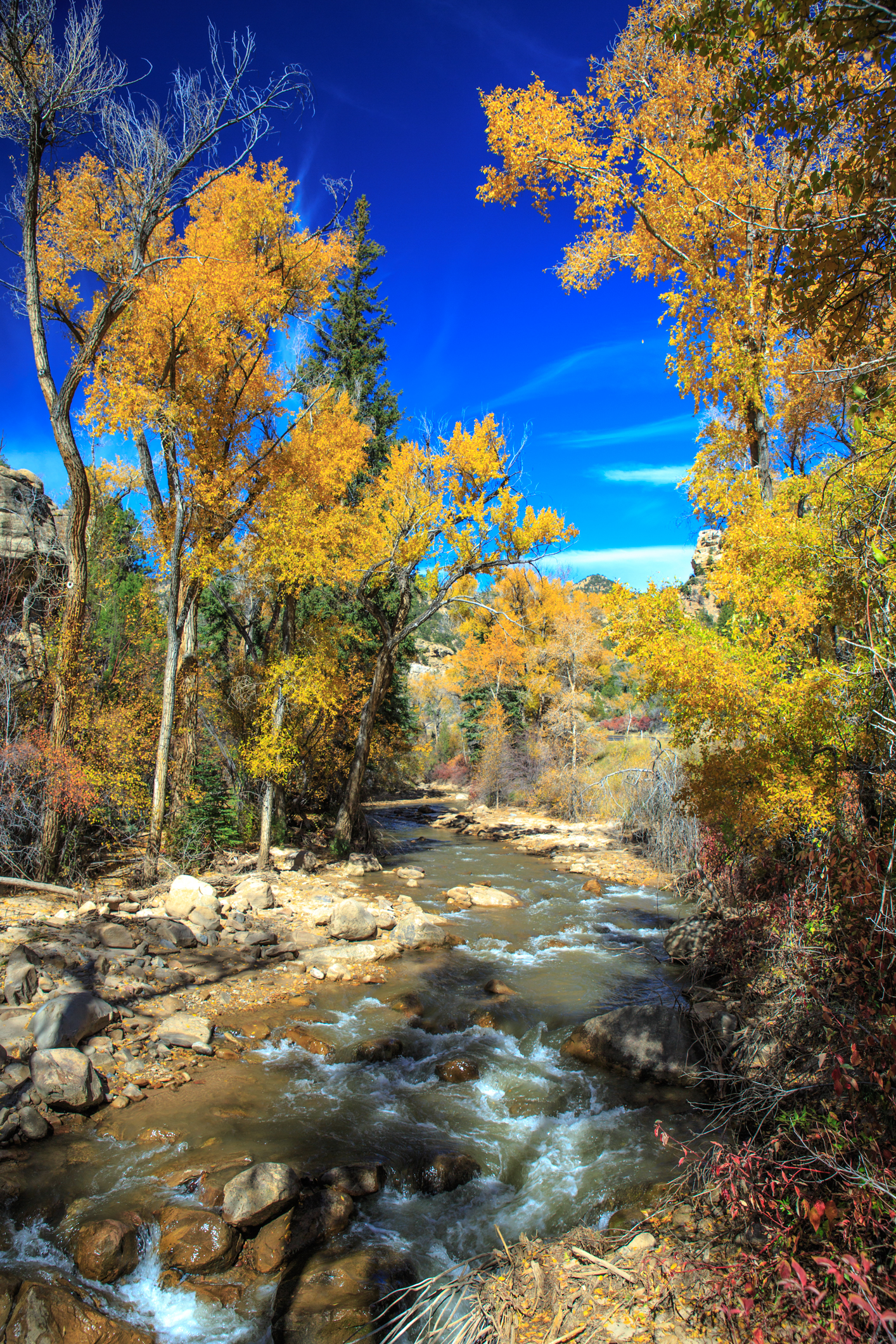
Bridge Boulders
Bridge Boulders in Utah has 7 bouldering routes across 6 grades.
- 7 routes
- V0 – V4
- Bouldering
Is Bridge Boulders open right now?
Closure in the area
There's a closure order in Manti-La Sal National Forest. It doesn't name Bridge Boulders, so check the source for the area it covers (3 listed).
Order Mountain Prescribed Fire Closure Order 10.6.2026
Agency closure covering Manti-La Sal National Forest · Order 04-10-26-01-03 · USFS · Manti-La Sal National Forest
Spring City Road Temporary Closure Order
Agency closure covering Manti-La Sal National Forest · Order 04-10-26-01-02 · USFS · Manti-La Sal National Forest
Black Canyon Road Temporary Closure Order, Ferron Ranger District
Agency closure covering Ferron Ranger District · Order 04-10-26-02-08 · USFS · Ferron Ranger District
As of · Source: USFS · Manti-La Sal National Forest. Agencies don't list every closure — check before you go.
Best time to visit Bridge Boulders
Best months: April–June and September–October. Best months have typical highs of 55–85 °F, lows of 30 °F or warmer (32 °F where the station doesn't record snow), at most one snowy day and no more than 12 wet days.
Jan
40° / 10°
5 wet · 2 snow
Feb
47° / 16°
4 wet · 2 snow
Mar
58° / 25°
4 wet · 1 snow
Apr
66° / 31°
4 wet
May
75° / 40°
5 wet
Jun
85° / 47°
4 wet
Jul
91° / 54°
5 wet
Aug
89° / 52°
7 wet
Sep
81° / 43°
6 wet
Oct
68° / 32°
5 wet
Nov
53° / 20°
4 wet · 1 snow
Dec
41° / 11°
4 wet · 2 snow
Typical high / low (°F) and days with rain or snow, 1991–2020. Measured at Castle Dale, UT, 8.9 mi away at 5,629 ft. The station sits about 1,500 ft lower than this place, so expect it a little cooler here. Source: NOAA NCEI U.S. Climate Normals 1991–2020.
Bridge Boulders is a bouldering area in the Ferron Ranger District of Manti-La Sal National Forest in Utah, managed by the Forest Service. It sits among a cluster of climbing spots, with Playtime is Over, Space Chubby, Salsa Verde and The Edge all about 0.1 mile away, and New Joe's just as close. The boulders here are the main draw. Seven routes are listed, all bouldering, with grades ranging from V0-1 to V4. Babe's Boulder and Slab Side are the easiest, at V0-1, while Sap Arete is the hardest, at V4. Grady's List is a V3. Spring and fall are the most comfortable times to visit. Typical averages from the Castle Dale weather station, about 9 miles away, show May highs around 75°F and October highs around 68°F, while July averages about 91°F. That station sits roughly 1,500 feet lower than the boulders, so temperatures on the rock run cooler. For more time on the land, the Des-Bee Dove-Mine hike is under a mile away, and River Bend Campground is about 9 miles off.
Keep exploring — more climbs worth the drive
 Photo: Holly Mandarich hollymandarich, CC0 (via Wikimedia Commons)
Western Washing Machine Boulder
~1 min drive
Western Washing Machine Boulder in Utah has 5 bouldering routes across 5 grades.
Photo: Holly Mandarich hollymandarich, CC0 (via Wikimedia Commons)Rick and Morty Boulder
~1 min drive
Rick and Morty Boulder is a Utah bouldering crag with 9 routes.
Photo: Holly Mandarich hollymandarich, CC0 (via Wikimedia Commons)The Flu
~6 min drive
Flu is a bouldering crag in Utah with 24 routes across 10 grades.
New Joe's
~0 min drive
New Joe's is a Utah climbing area with 15 routes on bouldering pads.
The Closet
~0 min drive
Closet, The is a bouldering crag in Utah with 17 routes across 7 grades.
Chip and Dale
~0 min drive
Chip and Dale is a Utah climbing crag with 10 routes across 8 grades.
Nerve Damage
~0 min drive
Nerve Damage in Utah has 10 bouldering routes across 8 grades.
88+
~0 min drive
Utah climbing area with varied routes for multiple skill levels.
Road Boulder
~0 min drive
Road Boulder in Utah has 12 bouldering routes across 6 difficulty grades.
Anarchy
~0 min drive
Anarchy is a Utah climbing area with 13 routes on bouldering pads.