Upper Trail Canyon
- 5.9 mi
- distance
- 2,102 ft
- climb
Caution at last check
Agency alerts are in effect for this area; weather is good · USFS, OpenWeather · checked 13 h ago
Is Upper Trail Canyon open right now?
Alert in the area
The Forest Service lists 2 alerts for Fishlake National Forest.
PST 66 Rock Canyon Trail Temporarily Closed
Agency alert covering Fishlake National Forest · USFS · Fishlake National Forest
TERMINATION OF STAGE 1 FIRE RESTRICTION ORDER
Agency alert covering Fishlake National Forest · Order 0408-26-10 · USFS · Fishlake National Forest
As of · Source: USFS · Fishlake National Forest. Agencies don't list every closure — check before you go.
Upper Trail Canyon is a mountain biking route in Utah's Fishlake National Forest, within the Beaver Ranger District. The Forest Service manages the land, and the route rises from about 7,160 feet to about 9,286 feet, a total climb of 2,102 feet over roughly 5.9 miles. The climb is a steady one, with the high point near 9,300 feet. The route makes a natural pairing with other trails in the area. Picnic Creek lies about 0.4 miles away, and Trail 3083 is about 1.2 miles off. Line Canyon is about 1.7 miles away, and the Sevier River, a paddling option, is about 3.1 miles away.
Local outfitters
- Big Rock Adventure11 mi away
- Big Rock Candy Mountain11 mi away
Not on Roamze yet. Their page has how to reach them.
- Picnic CreekMountain biking0.4 mi
- Trail 3083Mountain biking1.2 mi
- Line CanyonMountain biking1.7 mi
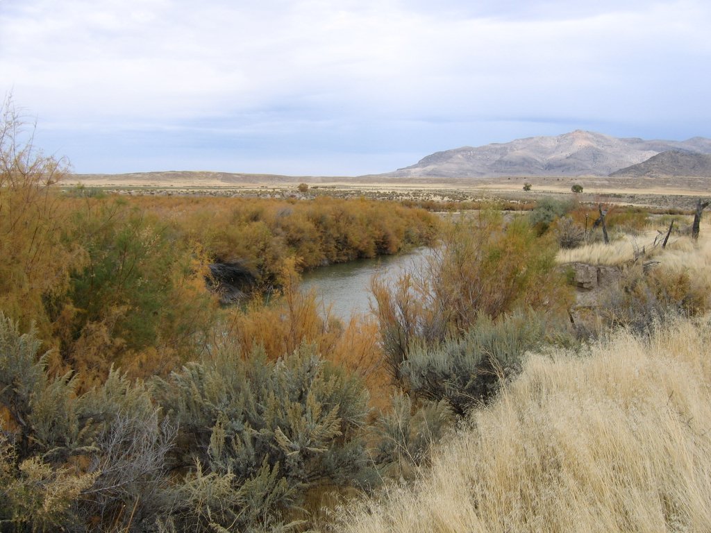 Sevier RiverCanoeingPhoto: w:Flickr user rcstanley, CC BY 2.0 (via Wikimedia Commons)3.1 mi
- Indian Creek Dispersed CampingCamping3.8 mi
- Beaver Ranger DistrictLake fishing5.9 mi
- Castle Rock - Rec SiteCamping8.8 mi
- Clear CreekCanoeing8.9 mi
Source: Roamze catalog (indexable pages within 10 miles, PostGIS distance)
 Blue LakeMountain biking · ~13 min drivePhoto: Andrey Zharkikh, CC BY 2.0 (via Wikimedia Commons)
- Pole Creek TrailMountain biking · ~14 min drive
- Tanner Hollow - Big JohnMountain biking · ~13 min drivePhoto: Andrey Zharkikh, CC BY 2.0 (via Wikimedia Commons)
- The PocketMountain biking · ~14 min drivePhoto: Andrey Zharkikh, CC BY 2.0 (via Wikimedia Commons)
 Paiute (D-3)Mountain biking · ~14 min drivePhoto: Derrellwilliams, CC0 (via Wikimedia Commons)
- Delano Peak TrailMountain biking · ~15 min drivePhoto: Derrellwilliams, CC0 (via Wikimedia Commons)
 Duncan Creek - BosmanMountain biking · ~16 min drivePhoto: Andrey Zharkikh, CC BY 2.0 (via Wikimedia Commons)
- Jim Reed Creek - Bosman TrailMountain biking · ~17 min drivePhoto: Andrey Zharkikh, CC BY 2.0 (via Wikimedia Commons)
- Skyline to South Edna PeakMountain biking · ~17 min drivePhoto: Andrey Zharkikh, CC BY 2.0 (via Wikimedia Commons)
- Jim Reed Creek - BosmanMountain biking · ~18 min drivePhoto: Andrey Zharkikh, CC BY 2.0 (via Wikimedia Commons)
Also worth it near here

Map and trail data © OpenStreetMap contributors
