Trail of Endor
 Photo: Derrellwilliams, CC0 (via Wikimedia Commons)
- 0.8 mi
- distance
- 389 ft
- climb
Is Trail of Endor open right now?
Alert in the area
The Forest Service lists 2 alerts for Fishlake National Forest.
PST 66 Rock Canyon Trail Temporarily Closed
Agency alert covering Fishlake National Forest · USFS · Fishlake National Forest
TERMINATION OF STAGE 1 FIRE RESTRICTION ORDER
Agency alert covering Fishlake National Forest · Order 0408-26-10 · USFS · Fishlake National Forest
As of · Source: USFS · Fishlake National Forest. Agencies don't list every closure — check before you go.
Trail of Endor is a short mountain biking route in Utah's Fishlake National Forest, within the Beaver Ranger District. The ride covers about 0.84 miles, climbing roughly 389 feet from a low point of 10,157 feet to a high of 10,561 feet. The trail sits close to several other outdoor options. The Monarch Loop Trail, a hike, is about 0.2 miles away, and the Sweeop Flow Trail, another mountain biking route, is about half a mile off. Observation Point Trail is about 0.6 miles away. For an overnight stay, Big John's Dispersed Camping is about 1.5 miles from the route.
Local outfitters
- Big Rock Adventure14 mi away
- Big Rock Candy Mountain14 mi away
Not on Roamze yet. Their page has how to reach them.
- Monarch Loop TrailHiking0.2 mi
 Sweeop Flow TrailMountain bikingPhoto: Derrellwilliams, CC0 (via Wikimedia Commons)0.5 mi
- Observation Point TrailHiking0.6 mi
- Big John's Dispersed CampingCamping1.5 mi
- Beaver Ranger DistrictLake fishing5 mi
- Big Flat Dispersed CampingCamping5 mi
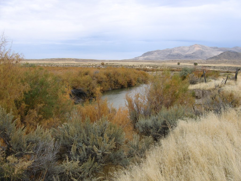 Sevier RiverCanoeingPhoto: w:Flickr user rcstanley, CC BY 2.0 (via Wikimedia Commons)7.9 mi
- Beaver CanyonRock climbing8.9 mi
Source: Roamze catalog (indexable pages within 10 miles, PostGIS distance)
- Sweeop Flow TrailMountain biking · Next doorPhoto: Derrellwilliams, CC0 (via Wikimedia Commons)
- Puffer Lake - SkylineMountain biking · ~1 min drivePhoto: Derrellwilliams, CC0 (via Wikimedia Commons)
- Grizzley Ridge - Big JohnMountain biking · ~3 min drivePhoto: Derrellwilliams, CC0 (via Wikimedia Commons)
 Skyline to South Edna PeakMountain biking · ~4 min drivePhoto: Andrey Zharkikh, CC BY 2.0 (via Wikimedia Commons)
- Delano Peak TrailMountain biking · ~4 min drivePhoto: Derrellwilliams, CC0 (via Wikimedia Commons)
- Paiute (D-3)Mountain biking · ~4 min drivePhoto: Derrellwilliams, CC0 (via Wikimedia Commons)
- Trail 3608Mountain biking · ~4 min drivePhoto: Derrellwilliams, CC0 (via Wikimedia Commons)
 Duncan Creek - BosmanMountain biking · ~6 min drivePhoto: Andrey Zharkikh, CC BY 2.0 (via Wikimedia Commons)
- Jim Reed Creek - Bosman TrailMountain biking · ~6 min drivePhoto: Andrey Zharkikh, CC BY 2.0 (via Wikimedia Commons)
- The PocketMountain biking · ~6 min drivePhoto: Andrey Zharkikh, CC BY 2.0 (via Wikimedia Commons)

Map and trail data © OpenStreetMap contributors
