Shingle Creek
- 7.6 mi
- round trip
- 2,479 ft
- climb
- 9,421 ft
- high point
- Out and back
- route
Is Shingle Creek open right now?
Alert in the area
The Forest Service lists 2 alerts for Fishlake National Forest.
PST 66 Rock Canyon Trail Temporarily Closed
Agency alert covering Fishlake National Forest · USFS · Fishlake National Forest
TERMINATION OF STAGE 1 FIRE RESTRICTION ORDER
Agency alert covering Fishlake National Forest · Order 0408-26-10 · USFS · Fishlake National Forest
As of · Source: USFS · Fishlake National Forest. Agencies don't list every closure — check before you go.
Shingle Creek is a hard hike in the Beaver Ranger District of Fishlake National Forest in Utah, managed by the Forest Service. The route is an out-and-back that climbs from about 6,934 feet to about 9,421 feet, a total gain of 2,479 feet over 7.6 miles. The trail is natural-surfaced and allows bikes, so it works for hikers and mountain bikers alike. It is open year-round, and the Forest Service lists it as a trail in the National Forest System. The climb is a significant one. The route starts at a lower point of about 6,934 feet and rises to a high point of about 9,421 feet. That makes it a challenging outing, and the distance and elevation gain mean planning for the full day. Several other destinations sit within a short drive. Trail 3581 and Tr 3887 are mountain biking routes about 1.2 and 1.9 miles away. Trail Canyon - Lower Fish Cree is a hike about 1.9 miles off. For an overnight stay, Castle Rock - Rec Site is about 7 miles away.
Local outfitters
- Big Rock Candy Mountain12 mi away
- Cedar Mountain RV Resort31 mi away
Not on Roamze yet. Their page has how to reach them.
Keep exploring — more trails worth the drive
HIKE
Trail Canyon - Lower Fish Cree
~3 min drive
Moderate 12.2-mile canyon trail with creek crossings and scenic views.
HIKE
Fish Creek - Sevier Canyon
~3 min drive
4.00-mile out-and-back trail in Utah with 1,272 ft elevation gain.
HIKE
CLEAR CREEK-MILL CREEK
~4 min drive
15.52-mile out-and-back trail in Utah with 2,601 ft elevation gain and loss.
HIKE
Fish Creek Cattle Driveway
~4 min drive
1.00-mile out-and-back trail in Utah with 32 ft of elevation gain.
HIKE
Upper Trail Canyon
~7 min drive
12.20-mile out-and-back trail in Utah with 2,376 ft elevation gain.
HIKE
Serviceberry
~4 min drive
3.58-mile out-and-back trail in Utah with 190 ft of elevation gain.
HIKE
Cove Creek - Indian Creek
~6 min drive
28.98-mile out-and-back trail in Utah with 4,170 ft elevation gain.
HIKE
Clear Creek-Mill Creek
~4 min drive
0.94-mile out-and-back trail in Utah with 67 ft of elevation gain.
HIKE
Little North Cr.-Wittwer Hill
~8 min drive
8.68-mile out-and-back trail in Utah with 1,914 ft elevation gain.
HIKE
COVE FORT- DRY CREEK
~5 min drive
4.48-mile out-and-back trail in Utah with 1,066 ft elevation gain
Also worth it near here
BED
Shingle Creek Dispersed Camping
~3 min drive
SEE
Three Creeks Reservoir
~10 min drive
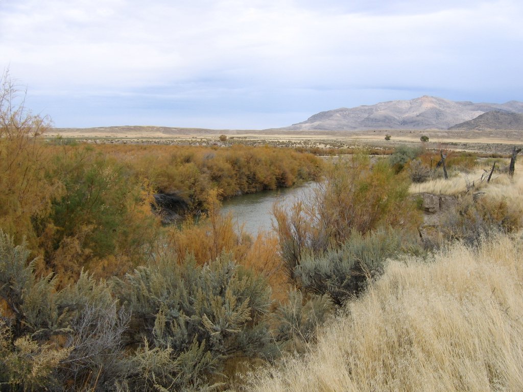 Photo: w:Flickr user rcstanley, CC BY 2.0 (via Wikimedia Commons)
Sevier River
~14 min drive
 Photo: Intermountain Forest Service, USDA Region 4 Photography, Public domain (via Wikimedia Commons)
Mount Belknap
~17 min drive
