Rock Canyon / Barracks Overlook Trail
- 4.3 mi
- round trip
- 1,076 ft
- climb
- 5,861 ft
- high point
- Out and back
- route
- Apr–May, Sep–Oct
- best months
Rock Canyon / Barracks Overlook Trail is a moderate, out-and-back hike on Bureau of Land Management land in Utah's Kanab Field Office, about 13 miles from Kanab. The route runs roughly 8.6 miles round trip with a total climb of about 1,076 feet, starting and ending at around 4,955 feet. The trail is front-loaded, with the steepest stretch coming just past the start at about 12% grade, and the high point reaches 5,861 feet. Plan for about 3.5 hours for the trip. Spring and fall are the most comfortable times to go. Typical averages from a nearby weather station in Orderville run to highs around 75°F in May and 69°F in October, while July averages about 91°F with lows near 55°F. Nearby, the Steep Trail and Poverty Gulch Trail both lie within about a mile and a half, and Watchman Campground is about 9 miles away. Climbers can find the East Temple area roughly 8 miles off.
Local outfitters
- Zion Ponderosa Ranch Resort8 mi away
- Thunderbird Resort9 mi away
Not on Roamze yet. Their page has how to reach them.
- Steep TrailHiking1.3 mi
- Poverty Gulch TrailHiking1.5 mi
- Poverty Gulch Overlook TrailHiking3.2 mi
 East SideRock climbingPhoto: Don Graham from Redlands, CA, USA - God bless it!, CC BY-SA 2.0 (via Wikimedia Commons)6.8 mi
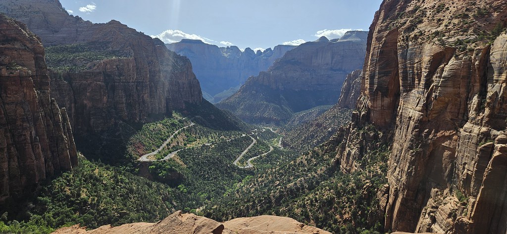 East TempleRock climbingPhoto: Capt' Gorgeous, CC BY 2.0 (via Flickr)7.9 mi
 CragmontRock climbingPhoto: Frans-Banja Mulder, CC BY 3.0 (via Wikimedia Commons)7.9 mi
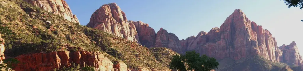 Watchman CampgroundCampingPhoto: Recreation.gov (RIDB) / public domain9.3 mi
- Ponderosa Grove CampgroundCamping10 mi
Source: Roamze catalog (indexable pages within 10 miles, PostGIS distance)
 Radio Flyer TrailHiking · ~9 min drivePhoto: photophilde, CC BY-SA 2.0 (via Wikimedia Commons)
 Many Pools HikeHiking · ~11 min drivePhoto: Ken Lund from Reno, Nevada, USA, CC BY-SA 2.0 (via Wikimedia Commons)
- Barracks TrailHiking · ~8 min drive
- Juniper Rush TrailHiking · ~9 min drivePhoto: photophilde, CC BY-SA 2.0 (via Wikimedia Commons)
- Steep TrailHiking · ~2 min drive
 Hayduke Trail #13Hiking · ~9 min drivePhoto: Greg Willis from Denver, CO, usa, CC BY-SA 2.0 (via Wikimedia Commons)
- Little Dipper TrailHiking · ~10 min drive
- Zion Park Scenic BywayHiking · ~9 min drivePhoto: Greg Willis from Denver, CO, usa, CC BY-SA 2.0 (via Wikimedia Commons)
- Maverick TrailHiking · ~10 min drive
 Canyon Overlook TrailHiking · ~12 min drivePhoto: Ken Lund from Reno, Nevada, USA, CC BY-SA 2.0 (via Wikimedia Commons)
Best time to visit Rock Canyon / Barracks Overlook Trail
Best months: April–May and September–October. Best months have typical highs of 55–85 °F, lows of 30 °F or warmer (32 °F where the station doesn't record snow), at most one snowy day and no more than 12 wet days.
Jan
48° / 19°
Feb
50° / 23°
Mar
59° / 28°
Apr
65° / 32°
May
75° / 40°
Jun
86° / 48°
Jul
91° / 55°
Aug
89° / 54°
Sep
82° / 47°
Oct
69° / 36°
Nov
57° / 26°
Dec
48° / 19°
Typical high / low (°F) and days with rain or snow, 1991–2020. Measured at Orderville, UT, 12.2 mi away at 5,460 ft. This station doesn't record snowfall. Source: NOAA NCEI U.S. Climate Normals 1991–2020.

Map and trail data © OpenStreetMap contributors
