Pleasant Creek Trail
- 2.3 mi
- round trip
- 984 ft
- climb
- 9,355 ft
- high point
- Out and back
- route
Caution at last check
Agency alerts are in effect for this area; weather is marginal · USFS, OpenWeather · checked 21 h ago
Is PLEASANT CREEK TRAIL open right now?
Alert in the area
The Forest Service lists 2 alerts for Fishlake National Forest.
PST 66 Rock Canyon Trail Temporarily Closed
Agency alert covering Fishlake National Forest · USFS · Fishlake National Forest
TERMINATION OF STAGE 1 FIRE RESTRICTION ORDER
Agency alert covering Fishlake National Forest · Order 0408-26-10 · USFS · Fishlake National Forest
As of · Source: USFS · Fishlake National Forest. Agencies don't list every closure — check before you go.
Pleasant Creek Trail is an easy out-and-back hike in Utah's Fishlake National Forest, within the Fremont River Ranger District. The trail is about 4.6 miles long, with a total elevation gain of 984 feet, and it starts and ends at roughly 8,644 feet. The climb is front-loaded, with the steepest stretch at about 1.1 miles in, where the grade reaches 11 percent. The high point on the route is 9,355 feet. The trail is managed by the Forest Service, and the trip takes about two hours. The route is short enough to fit into a day of exploring the surrounding area, which has several other trails and campgrounds close by. Cat Creek Trail and Wildcat Trail both lie about 0.2 miles away, and Lower Pleasant Creek Campground and Upper Pleasant Creek Campground are each about 0.4 miles off. For a longer outing, Green Lake is about 5.2 miles away.
Local outfitters
- Sand Creek RV Park & Campground14 mi away
- Escalante Outfitters28 mi away
Not on Roamze yet. Their page has how to reach them.
- Cat Creek TrailHiking0.2 mi
- Wildcat TrailHiking0.2 mi
- Lower Pleasant Creek CampgroundCamping0.4 mi
- Upper Pleasant Creek CampgroundCamping0.4 mi
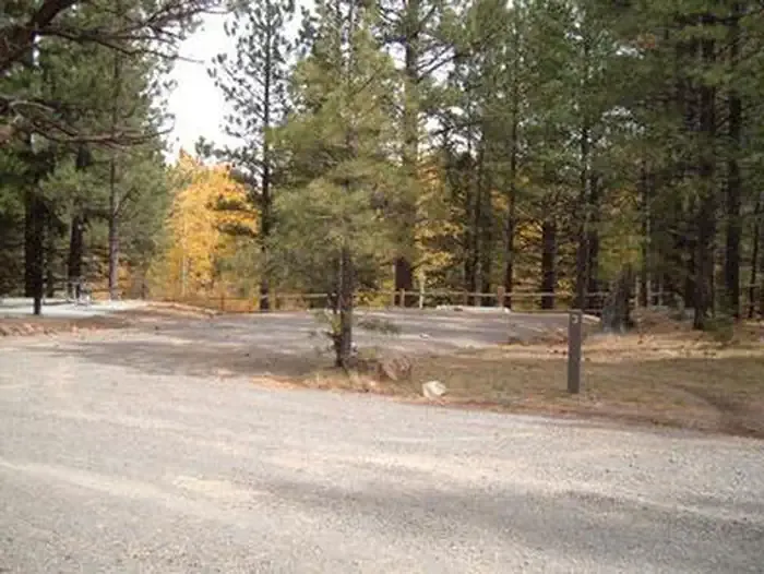 Rosebud ATVCampingPhoto: Recreation.gov (RIDB) / public domain0.8 mi
- High Ranger TrailHiking1.1 mi
- Green LakeLake fishing5.2 mi
- Deer Creek LakeLake fishing5.4 mi
Source: Roamze catalog (indexable pages within 10 miles, PostGIS distance)
 A Journey Through Time Scenic BywayHiking · ~8 min drivePhoto: Greg Willis from Denver, CO, usa, CC BY-SA 2.0 (via Wikimedia Commons)
 Great Western TrailHiking · ~10 min drivePhoto: Frans-Banja Mulder, CC BY 3.0 (via Wikimedia Commons)
 Deer Creek Lake TrailHiking · ~10 min drivePhoto: Frans-Banja Mulder, CC BY 3.0 (via Wikimedia Commons)
- Indian Trail BenchHiking · ~9 min drivePhoto: Greg Willis from Denver, CO, usa, CC BY-SA 2.0 (via Wikimedia Commons)
 Friskey TrailHiking · ~12 min drivePhoto: Greg Willis from Denver, CO, usa, CC BY-SA 2.0 (via Wikimedia Commons)
- Deer Creek TrailHiking · ~12 min drivePhoto: Frans-Banja Mulder, CC BY 3.0 (via Wikimedia Commons)
- Bear Flat TrailHiking · ~3 min drive
- Stair Canyon TrailHiking · ~11 min drivePhoto: Frans-Banja Mulder, CC BY 3.0 (via Wikimedia Commons)
- Bluegrass TrailHiking · ~10 min drivePhoto: Greg Willis from Denver, CO, usa, CC BY-SA 2.0 (via Wikimedia Commons)
- Pleasant Creek TrailHiking · ~3 min drive

