Duncan Creek - Bosman
- 1.6 mi
- round trip
- 347 ft
- climb
- 10,224 ft
- high point
- Out and back
- route
Caution today
Agency alerts are in effect for this area; weather is good · USFS, OpenWeather · checked 7 h ago
Is Duncan Creek - Bosman open right now?
Alert in the area
The Forest Service lists 2 alerts for Fishlake National Forest.
PST 66 Rock Canyon Trail Temporarily Closed
Agency alert covering Fishlake National Forest · USFS · Fishlake National Forest
TERMINATION OF STAGE 1 FIRE RESTRICTION ORDER
Agency alert covering Fishlake National Forest · Order 0408-26-10 · USFS · Fishlake National Forest
As of · Source: USFS · Fishlake National Forest. Agencies don't list every closure — check before you go.
Duncan Creek - Bosman is an easy out-and-back hike in the Beaver Ranger District of Fishlake National Forest in Utah. The trail is about 1.6 miles long, with a total elevation gain of 347 feet, taking you from a low point around 9,867 feet to a high point near 10,224 feet. The Forest Service manages the land, and the route is a natural-surface trail that works for hikers, riders and horseback travelers. The trail is open from July 1 to October 31, so plan your visit for late summer or early fall. The Jim Reed Creek - Bosman Trail, a mountain biking route, lies about 0.9 miles away, and the Van Fleet hike is about a mile off. For an overnight stay, Big John's Dispersed Camping is about 2.1 miles away. Paddlers can reach the Sevier River, roughly 6.8 miles from the trail.
Local outfitters
- Big Rock Candy Mountain15 mi away
- Henrie's Hitch-N-Post36 mi away
Not on Roamze yet. Their page has how to reach them.
 Jim Reed Creek - Bosman TrailMountain bikingPhoto: Andrey Zharkikh, CC BY 2.0 (via Wikimedia Commons)0.9 mi
- Van FleetHiking1 mi
- Big John's Dispersed CampingCamping2.1 mi
- Beaver Ranger DistrictLake fishing4.3 mi
- Mahogany Cove - Rec SiteCamping5.8 mi
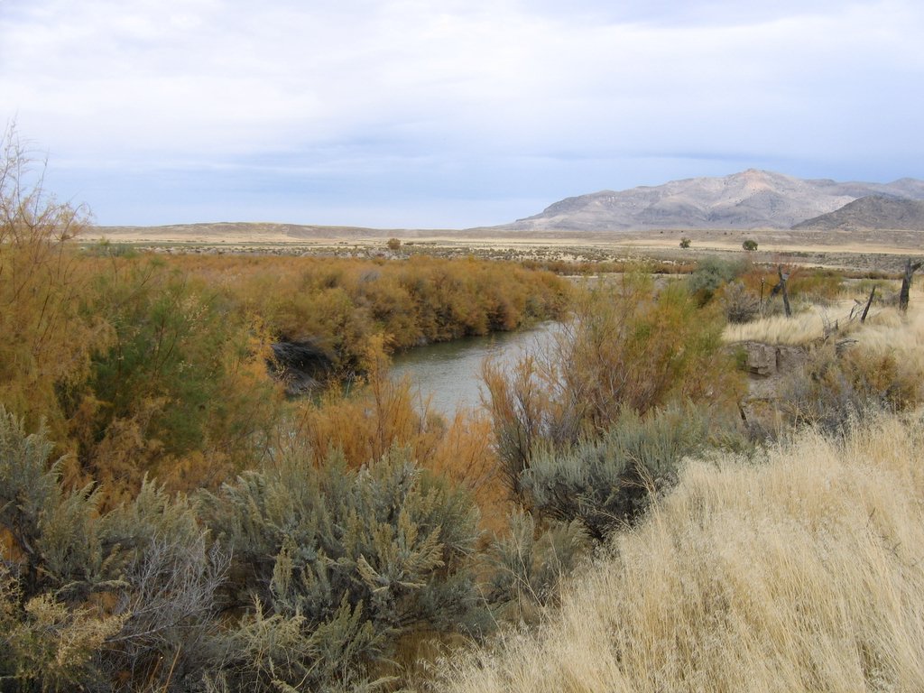 Sevier RiverCanoeingPhoto: w:Flickr user rcstanley, CC BY 2.0 (via Wikimedia Commons)6.8 mi
- Beaver CanyonRock climbing6.9 mi
- Elk Meadows WallRock climbing8.4 mi
Source: Roamze catalog (indexable pages within 10 miles, PostGIS distance)
 Poison Creek - So Fk BullionHiking · ~5 min drivePhoto: Andrey Zharkikh, CC BY 2.0 (via Wikimedia Commons)
- Skyline National Recreation TrHiking · ~4 min drivePhoto: Andrey Zharkikh, CC BY 2.0 (via Wikimedia Commons)
 Mud Lake - Blue LakeHiking · ~5 min drivePhoto: Andrey Zharkikh, CC BY 2.0 (via Wikimedia Commons)
- South Fork of North CreekHiking · ~7 min drivePhoto: Andrey Zharkikh, CC BY 2.0 (via Wikimedia Commons)
- Van FleetHiking · ~2 min drive
- Tanner Hollow - Big John TrailHiking · ~3 min drive
- The PocketHiking · ~8 min drivePhoto: Andrey Zharkikh, CC BY 2.0 (via Wikimedia Commons)
- Blue LakeHiking · ~2 min drive
- GRIZZLEY RIDGE - BIG JOHNHiking · ~4 min drive
- Paiute Side Trail 26Hiking · ~4 min drive

