Carter Military Trail
- 2.2 mi
- round trip
- 134 ft
- climb
- 8,660 ft
- high point
- Out and back
- route
Caution at last check
Agency alerts are in effect for this area; weather is marginal · USFS, OpenWeather · checked 21 h ago
Is Carter Military Trail open right now?
Alert in the area
The Forest Service lists 2 alerts for Ashley National Forest.
Anvil Draw Boat Ramp Temporary Closure
Agency alert covering Ashley National Forest · Order 0401-26-01-03 · USFS · Ashley National Forest
Flaming Gorge Reservoir Water Levels
Agency alert covering Ashley National Forest · USFS · Ashley National Forest
As of · Source: USFS · Ashley National Forest. Agencies don't list every closure — check before you go.
Carter Military Trail is an easy out-and-back hike in the Flaming Gorge Ranger District of Ashley National Forest in Utah, managed by the Forest Service. The trail is about 4.4 miles long, with a total elevation gain of 134 feet, and it runs between a low point of 8,533 feet and a high of 8,660 feet. The route is short and gentle, making it a straightforward outing. It starts and ends at the same point, and the climb is minimal, so it works well as a quick stop or a warm-up before heading to other spots in the area. The trail sits close to several other destinations. Hickerson Park-Birch Creek Road is just 0.1 mile away, and Browne Lake Road is 0.3 mile off. For an overnight stay, Browne Lake campground is about 2 miles away, and the Sheep Creek - Windy Ridge climbing area is roughly 3.5 miles from the trail.
Local outfitters
- Dutch John Resort At Flaming Gorge24 mi away
Not on Roamze yet. Their page has how to reach them.
- Hickerson Park-Birch Creek RoadHiking0.1 mi
- Browne Lake RoadHiking0.3 mi
- Browne LakeCamping2 mi
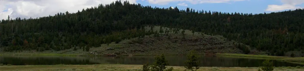 Browne Lake Group SitesCampingPhoto: Recreation.gov (RIDB) / public domain2.3 mi
 Sheep Creek - Windy RidgeRock climbingPhoto: Carpenter, Kenneth, CC BY-SA 4.0 (via Wikimedia Commons)3.5 mi
- Lodgepole CreekCanoeing3.8 mi
- ShredderRock climbingPhoto: Carpenter, Kenneth, CC BY-SA 4.0 (via Wikimedia Commons)4.3 mi
- Sheep CreekCanoeing4.6 mi
Source: Roamze catalog (indexable pages within 10 miles, PostGIS distance)
- Browne Lake RoadHiking · Next door
- Beaver Creek-Weyman ParkHiking · Next door
- SHEEP CREEK LAKEHiking · Next door
- Leidy Peak Brown Lake TrailHiking · ~13 min drive
- Weyman CreekHiking · ~2 min drive
- Ute MountainHiking · ~4 min drive
- Old Carter Military TrailHiking · ~4 min drive
- Hickerson Park-Birch Creek RoadHiking · ~3 min drive
- Sols Canyon TrailHiking · ~5 min drive
- Browne-Spirit LakeHiking · ~5 min drive
Also worth it near here
Map and trail data © OpenStreetMap contributors
