Bonneville Shoreline Trail
- 0.8 mi
- round trip
- 291 ft
- climb
- 5,135 ft
- high point
- Out and back
- route
- May–Jun, Aug–Sep
- best months
Is Bonneville Shoreline Trail open right now?
No closures listed
The Forest Service lists no closures for Uinta-Wasatch-Cache National Forest.
As of · Source: USFS · Uinta-Wasatch-Cache National Forest. Agencies don't list every closure — check before you go.
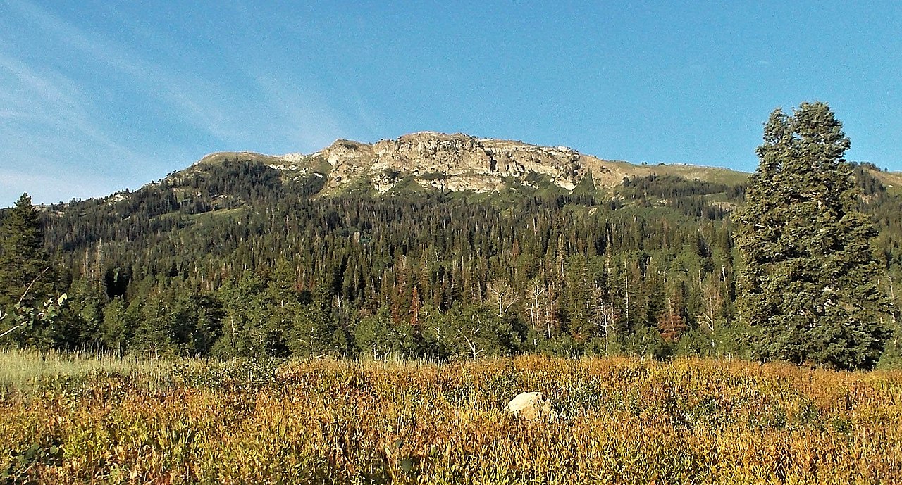
The Bonneville Shoreline Trail is a short, easy hike in the Salt Lake Ranger District of the Uinta-Wasatch-Cache National Forest in northern Utah, managed by the Forest Service. The trail is about 0.75 miles long and is an out-and-back route, with a total climb of about 291 feet from a low point of roughly 4,825 feet to a high of about 5,135 feet. Late spring and early fall are the most comfortable times to go. Typical averages from a nearby weather station at Bountiful Bench show May highs around 67°F and September highs around 74°F, while July averages about 87°F and winter brings frequent snow days. Several other trails sit close by. The Bountiful B Trail and Deuel Creek North are each about 0.8 miles away, and the Wagon Wheel Trail is about 1.1 miles off. Climbers can find the Bountiful climbing area about 1.2 miles away.
Local outfitters
- Midway Adventure Company34 mi away
- Rocky Mountain Outfitters35 mi away
Not on Roamze yet. Their page has how to reach them.
- Bountiful B TrailHiking0.8 mi
- Deuel Creek NorthHiking0.8 mi
- Wagon Wheel TrailHiking1.1 mi
- Parrish CreekHiking1.2 mi
- BountifulRock climbing1.2 mi
- Farmington CragRock climbing5.2 mi
- FarmingtonRock climbing5.7 mi
- Bountiful Peak CgCamping5.9 mi
Source: Roamze catalog (indexable pages within 10 miles, PostGIS distance)
- Bonneville Shoreline TrailHiking · ~1 min drive
- Bountiful B TrailHiking · ~1 min drive
- Bonneville Shoreline TrailHiking · ~3 min drive
- Stone Creek TrailHiking · ~6 min drive
- Deuel Creek NorthHiking · ~1 min drive
- Parrish CreekHiking · ~2 min drive
- Bonneville Shoreline Trail - Bountiful SectionHiking · ~6 min drive
- Mueller Park TrailHiking · ~5 min drive
- Wagon Wheel TrailHiking · ~2 min drive
- Parrish Sunset TrailHiking · ~2 min drive
Best time to visit Bonneville Shoreline Trail
Best months: May–June and August–September. Best months have typical highs of 55–85 °F, lows of 30 °F or warmer (32 °F where the station doesn't record snow), at most one snowy day and no more than 12 wet days.
Jan
36° / 23°
12 wet · 9 snow
Feb
41° / 27°
11 wet · 7 snow
Mar
51° / 34°
11 wet · 6 snow
Apr
57° / 39°
11 wet · 4 snow
May
67° / 48°
10 wet · 1 snow
Jun
78° / 57°
6 wet
Jul
87° / 66°
5 wet
Aug
84° / 64°
5 wet
Sep
74° / 55°
6 wet
Oct
60° / 43°
8 wet · 2 snow
Nov
46° / 31°
10 wet · 5 snow
Dec
36° / 23°
11 wet · 9 snow
Typical high / low (°F) and days with rain or snow, 1991–2020. Measured at Bountiful Bench, UT, 1.2 mi away at 4,950 ft. Source: NOAA NCEI U.S. Climate Normals 1991–2020.
Map and trail data © OpenStreetMap contributors
