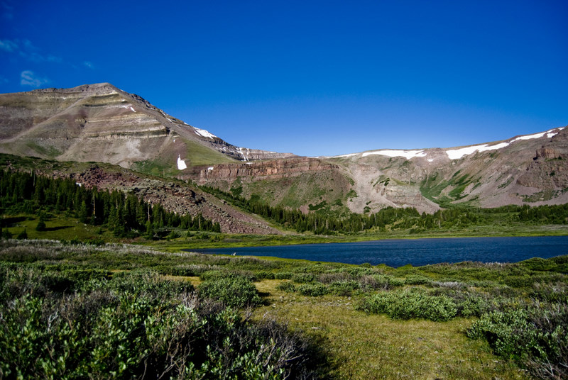
Beaver Lake
- 1.3 mi
- round trip
- 191 ft
- climb
- 10,545 ft
- high point
- Out and back
- route
Is Beaver Lake open right now?
No closures listed
The Forest Service lists no closures for Uinta-Wasatch-Cache National Forest.
As of · Source: USFS · Uinta-Wasatch-Cache National Forest. Agencies don't list every closure — check before you go.
Beaver Lake is an easy, short hike in the High Uintas Wilderness, part of the Evanston-Mountain View Ranger District of the Uinta-Wasatch-Cache National Forest in northern Utah. The Forest Service manages the land, and the trail is about 1.3 miles long with a one-way elevation gain of 191 feet, making it a low-effort outing for a day in the backcountry. The trail is natural-surfaced and allows horses, so it works well for riders as well as hikers. Bikes are not permitted, and the route is not accessible. The North Slope Highline B trail starts just 0.1 mile away, and the Beaver Lake Trail is about 0.7 mile off. Farther afield, the Middle Fork Beaver and Rainbow Lake Trail are both within about 4 miles.
Local outfitters
- Dutch John Resort At Flaming Gorge44 mi away
Not on Roamze yet. Their page has how to reach them.
- North Slope Highline BHiking0.1 mi
- Beaver Lake TrailHiking0.7 mi
- Middle Fork BeaverHiking3.9 mi
- Rainbow Lake TrailHiking4 mi
- Kabell LakeRiver fishing5.3 mi
- Henrys ForkRiver fishing6.2 mi
- Hoop LakeRiver fishing7.2 mi
- Burnt ForkRiver fishing8.1 mi
Source: Roamze catalog (indexable pages within 10 miles, PostGIS distance)
- Beaver Lake TrailHiking · ~1 min drive
- Middle Fork BeaverHiking · ~7 min drive
- Joulious ParkHiking · ~8 min drive
- Henrys Fork PeakHiking · ~11 min drive
- Rainbow Lake TrailHiking · ~7 min drive
- Burnt Ridge TrailHiking · ~7 min drive
- Kabell RidgeHiking · ~10 min drive
- Dome PeakHiking · ~11 min drive
- Georges Park Sw SpurHiking · ~8 min drive
- Thompson PeakHiking · ~7 min drive