Ribbon Arch
About
Ribbon Arch is a natural arch in Arches National Park in Utah, managed by the National Park Service. The nearest town is Moab, about 8.6 miles away. The arch sits at roughly 5,567 feet. Spring and fall are the most comfortable times to visit. Typical averages from a nearby weather station show May highs around 77°F and October highs around 68°F, while July highs reach about 95°F and January lows drop to about 18°F. The closest trails are the Windows Sand Loop, under a mile away, and the Balanced Rock Viewpoint and Trail, about 1.5 miles off. Climbers can head to the Arches National Park climbing area, about 2.7 miles away, and Upper Big Bend Campground offers camping about 4.2 miles from the arch.
Arch Facts
Elevation
5,567 ft
Land manager
National Park Service
Elevation from USGS 3D Elevation Program terrain data (about 10 m resolution).
Location
Ribbon Arch
Utah
Name and location: U.S. Geological Survey, Geographic Names Information System (GNIS). Elevation: USGS 3D Elevation Program. View the GNIS record.
Facts about this place
When to go
Best time to go: Apr–May. The mildest months here, with typical highs of 66–77°F and lows of 40–50°F.
Typical monthly averages (not a forecast) from the Castle Valley 1se, UT weather station, 9.4 mi away. High / low in °F.
- Jan39° high18° low
- Feb46° high25° low
- Mar58° high33° low
- Apr66° high40° low
- May77° high50° low
- Jun89° high60° low
- Jul95° high68° low
- Aug92° high65° low
- Sep83° high56° low
- Oct68° high42° low
- Nov52° high30° low
- Dec39° high19° low
Where it is
- Arches National Park · National Park Service
- Nearest town
- Moab, Utah · 8.6 mi
- Managed by
- National Park Service
Source: NPS Land Resources boundaries; USGS PAD-US 4.1; USGS GNIS populated places
Conditions
Active alerts for Arches National Park as of Oct 9, 2026:
Trip-planning tips for 2026
Information · posted Aug 24, 2026
Source: NPS Alerts API
Nearby
- Windows Sand LoopHiking0.8 mi
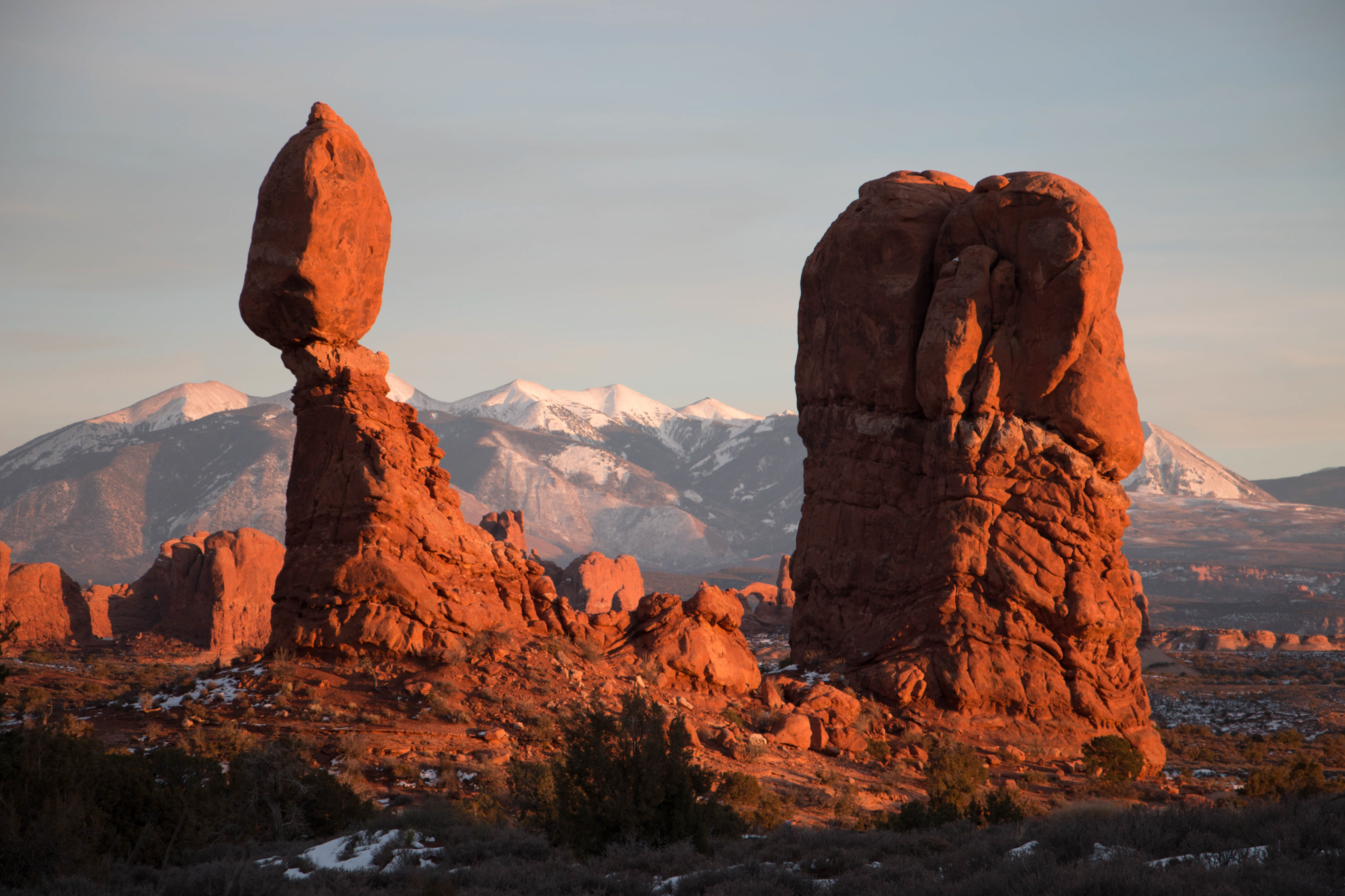 Balanced Rock Viewpoint and TrailHikingPhoto: NPS/Chris Wonderly1.5 mi
 Balanced Rock TrailHikingPhoto: Bruce Andersen, CC BY 3.0 (via Wikimedia Commons)1.5 mi
 Arches National ParkRock climbingPhoto: inkknife_2000 (7.5 million views +), CC BY-SA 2.0 (via Wikimedia Commons)2.7 mi
 The StageRock climbingPhoto: Ken Lund from Reno, Nevada, USA, CC BY-SA 2.0 (via Wikimedia Commons)3.2 mi
- The TheaterRock climbingPhoto: Ken Lund from Reno, Nevada, USA, CC BY-SA 2.0 (via Wikimedia Commons)3.2 mi
- Upper Big Bend CampgroundCamping4.2 mi
- Big Bend Group SitesCamping4.5 mi
Source: Roamze catalog (indexable pages within 10 miles, PostGIS distance)
Is Ribbon Arch open right now?
No closures listed
The National Park Service lists no closures for Arches National Park.
As of · Source: NPS · Arches National Park. Agencies don't list every closure — check before you go.
Best time to visit Ribbon Arch
Best months: March–May and September–October. Best months have typical highs of 55–85 °F, lows of 30 °F or warmer (32 °F where the station doesn't record snow), at most one snowy day and no more than 12 wet days.
Jan
39° / 18°
Feb
46° / 25°
Mar
58° / 33°
Apr
66° / 40°
May
77° / 50°
Jun
89° / 60°
Jul
95° / 68°
Aug
92° / 65°
Sep
83° / 56°
Oct
68° / 42°
Nov
52° / 30°
Dec
39° / 19°
Typical high / low (°F) and days with rain or snow, 1991–2020. Measured at Castle Valley 1se, UT, 9.4 mi away at 4,905 ft. The station sits about 700 ft lower than this place, so expect it a little cooler here. This station doesn't record snowfall. Source: NOAA NCEI U.S. Climate Normals 1991–2020.
