San Roque Creek
- 35.2 mi
- distance
- 644 ft
- high point
- Nov–Mar
- best months
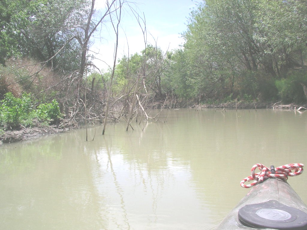
San Roque Creek is a paddling waterway in Texas, about 2.8 miles from the small community of Catarina. It is a canoeing route, and the closest named waterway in the paddling category is Velenzuela Creek, about 7 miles away. The most comfortable time to plan a trip is spring or fall. Typical averages from a nearby weather station show March highs around 78°F and October highs around 86°F, while summer highs reach the upper 90s and 100s in July and August. Winter is mild, with January highs near 67°F and lows around 37°F. Velenzuela Creek is the closest paddling option, and its distance makes it an easy addition to a day on the water.
Source: Roamze catalog (indexable pages within 10 miles, PostGIS distance)
 Nueces RiverCanoeing · ~42 min drivePhoto: Billy Hathorn, CC BY-SA 3.0 (via Wikimedia Commons)
 Frio RiverCanoeing · ~1h 21m drivePhoto: KenB, CC BY-SA 3.0 (via Wikimedia Commons)
- Velenzuela CreekCanoeing · ~12 min drive
- Soldier SloughCanoeing · ~28 min drive
- Las Raices CreekCanoeing · ~37 min drive
- Arroyo NegroCanoeing · ~37 min drive
- Caiman CreekCanoeing · ~52 min drive
- Cibolo CreekCanoeing · ~58 min drive
- Comanche CreekCanoeing · ~1h 1m drive
- Los Olmos CreekCanoeing · ~1h 2m drive
Best time to visit San Roque Creek
Best months: November–March. Best months have typical highs of 55–85 °F, lows of 30 °F or warmer (32 °F where the station doesn't record snow), at most one snowy day and no more than 12 wet days.
Jan
67° / 37°
5 wet
Feb
71° / 42°
4 wet
Mar
78° / 50°
4 wet
Apr
86° / 57°
4 wet
May
92° / 66°
5 wet
Jun
98° / 72°
5 wet
Jul
99° / 73°
4 wet
Aug
100° / 74°
4 wet
Sep
93° / 68°
5 wet
Oct
86° / 59°
4 wet
Nov
75° / 47°
4 wet
Dec
67° / 39°
4 wet
Typical high / low (°F) and days with rain or snow, 1991–2020. Measured at Carrizo Springs 3s, TX, 19.1 mi away at 613 ft. Source: NOAA NCEI U.S. Climate Normals 1991–2020.
