Caiman Creek
- 21.4 mi
- distance
- 477 ft
- high point
- Nov–Mar
- best months
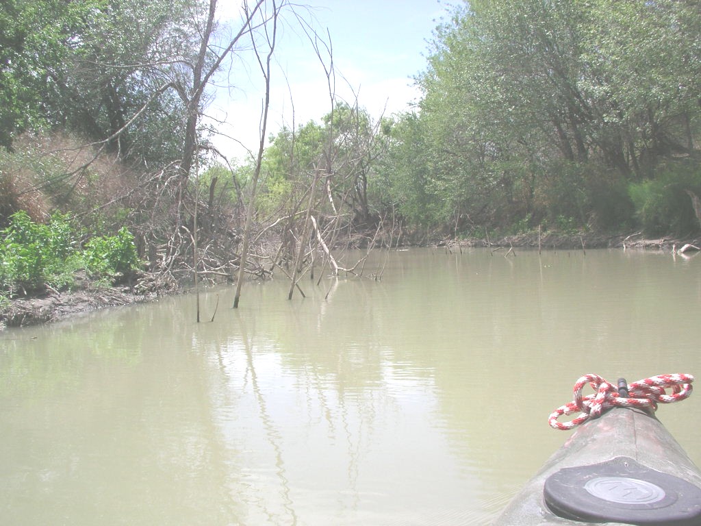
Caiman Creek is a 21-mile paddling stretch near Cotulla, Texas, with Artesia Wells about 11 miles away. The creek is intermittent and may run dry in some seasons. USGS models an average flow of about 31 cubic feet per second and a gradient of about 8.5 feet per mile. The most comfortable months for paddling are typically late fall and early spring. Typical averages from the nearby Encinal weather station show November highs around 76°F and January highs around 68°F, while summer highs reach about 98 to 100°F. Los Olmos Creek is about 8 miles away, and Las Raices Creek is about 9 miles away, both paddling options in the same part of Texas.
Source: Roamze catalog (indexable pages within 10 miles, PostGIS distance)
 Nueces RiverCanoeing · ~1h 1m drivePhoto: Billy Hathorn, CC BY-SA 3.0 (via Wikimedia Commons)
 Frio RiverCanoeing · ~1h 11m drivePhoto: KenB, CC BY-SA 3.0 (via Wikimedia Commons)
- Los Olmos CreekCanoeing · ~14 min drive
- Las Raices CreekCanoeing · ~15 min drive
- San Casimiro CreekCanoeing · ~29 min drive
- Carrizitos CreekCanoeing · ~39 min drive
- Becerra CreekCanoeing · ~40 min drive
- Salado CreekCanoeing · ~41 min drive
- Old Nueces River ChannelCanoeing · ~47 min drive
- Cibolo CreekCanoeing · ~51 min drive
Best time to visit Caiman Creek
Best months: November–March. Best months have typical highs of 55–85 °F, lows of 30 °F or warmer (32 °F where the station doesn't record snow), at most one snowy day and no more than 12 wet days.
Jan
68° / 43°
2 wet
Feb
72° / 46°
2 wet
Mar
79° / 51°
3 wet
Apr
87° / 58°
3 wet
May
92° / 66°
4 wet
Jun
98° / 72°
3 wet
Jul
98° / 73°
3 wet
Aug
100° / 73°
3 wet
Sep
93° / 70°
4 wet
Oct
86° / 60°
3 wet
Nov
76° / 51°
2 wet
Dec
68° / 43°
2 wet
Typical high / low (°F) and days with rain or snow, 1991–2020. Measured at Encinal, TX, 17.8 mi away at 545 ft. Source: NOAA NCEI U.S. Climate Normals 1991–2020.
