Lagunillas Creek
- 33.4 mi
- distance
- 527 ft
- high point
- Nov–Mar
- best months
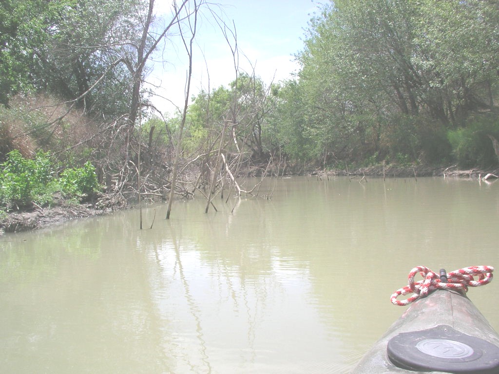
Lagunillas Creek is a canoeing route in Texas, about 2.3 miles from the town of Davis. It is a paddling destination in its own right, and the cooler months make it the most comfortable time to get on the water. The most comfortable stretch runs from late fall through early spring. Typical averages from a nearby weather station show highs around 70°F in December and January, with February reaching about 74°F. Summer is hot, with August highs averaging near 100°F. San Miguel Creek is about 4 miles away and is another paddling option in the area.
Source: Roamze catalog (indexable pages within 10 miles, PostGIS distance)
 Frio RiverCanoeing · ~33 min drivePhoto: KenB, CC BY-SA 3.0 (via Wikimedia Commons)
- Kayake LaunchBoat launch · ~1h 15m drive
 Nueces RiverCanoeing · ~1h 17m drivePhoto: Billy Hathorn, CC BY-SA 3.0 (via Wikimedia Commons)
 Medina RiverCanoeing · ~1h 17m drivePhoto: Observer12, Public domain (via Wikimedia Commons)
- San Miguel CreekCanoeing · ~7 min drive
- La Parita CreekCanoeing · ~26 min drive
- Atascosa RiverCanoeing · ~29 min drive
- Borrego CreekCanoeing · ~48 min drive
- Cibolo CreekCanoeing · ~53 min drive
- Weedy CreekCanoeing · ~1h 4m drive
Best time to visit Lagunillas Creek
Best months: November–March. Best months have typical highs of 55–85 °F, lows of 30 °F or warmer (32 °F where the station doesn't record snow), at most one snowy day and no more than 12 wet days.
Jan
69° / 42°
5 wet
Feb
74° / 46°
5 wet
Mar
79° / 53°
6 wet
Apr
86° / 59°
5 wet
May
91° / 67°
5 wet
Jun
96° / 72°
5 wet
Jul
98° / 73°
4 wet
Aug
100° / 73°
5 wet
Sep
94° / 69°
5 wet
Oct
87° / 61°
5 wet
Nov
78° / 51°
4 wet
Dec
70° / 44°
5 wet
Typical high / low (°F) and days with rain or snow, 1991–2020. Measured at Charlotte 5 Nnw, TX, 9.1 mi away at 441 ft. Source: NOAA NCEI U.S. Climate Normals 1991–2020.
