Atascosa River
- 104 mi
- distance
- 637 ft
- high point
- Oct–Apr
- best months
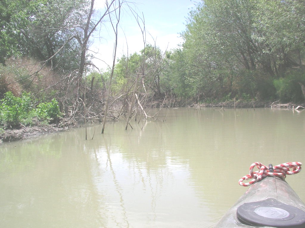
The Atascosa River is a paddling route in Texas, about 4.6 miles from the small community of Coughran. It is a river rather than a single trail, so a trip here is measured in miles of water rather than in steps on a path. Spring and fall bring the most comfortable conditions. Typical averages from a nearby weather station in Pleasanton run from highs around 76°F in March to about 84°F in October. Midsummer highs there reach the mid-90s, with lows in the mid-70s. For more paddling in the area, La Parita Creek lies about 8.3 miles away and is also a canoeing destination.
Source: Roamze catalog (indexable pages within 10 miles, PostGIS distance)
 Frio RiverCanoeing · ~1h 2m drivePhoto: KenB, CC BY-SA 3.0 (via Wikimedia Commons)
- Kayake LaunchBoat launch · ~1h drive
 Cibolo CreekCanoeing · ~1h 12m drivePhoto: Kevin, CC BY-SA 2.0 (via Wikimedia Commons)
- Loose Lip LaneBoat launch · ~1h 21m drive
 Medina RiverCanoeing · ~1h 15m drivePhoto: Observer12, Public domain (via Wikimedia Commons)
- La Parita CreekCanoeing · ~14 min drive
- Borrego CreekCanoeing · ~19 min drive
- Lagunillas CreekCanoeing · ~29 min drive
- San Miguel CreekCanoeing · ~36 min drive
- San Antonio RiverCanoeing · ~39 min drive
Best time to visit Atascosa River
Best months: October–April. Best months have typical highs of 55–85 °F, lows of 30 °F or warmer (32 °F where the station doesn't record snow), at most one snowy day and no more than 12 wet days.
Jan
65° / 40°
7 wet
Feb
69° / 44°
7 wet
Mar
76° / 52°
7 wet
Apr
83° / 58°
6 wet
May
89° / 67°
6 wet
Jun
94° / 73°
6 wet
Jul
96° / 74°
5 wet
Aug
97° / 74°
5 wet
Sep
92° / 69°
6 wet
Oct
84° / 59°
6 wet
Nov
74° / 50°
6 wet
Dec
66° / 42°
7 wet
Typical high / low (°F) and days with rain or snow, 1991–2020. Measured at Pleasanton, TX, 4.8 mi away at 358 ft. Source: NOAA NCEI U.S. Climate Normals 1991–2020.
