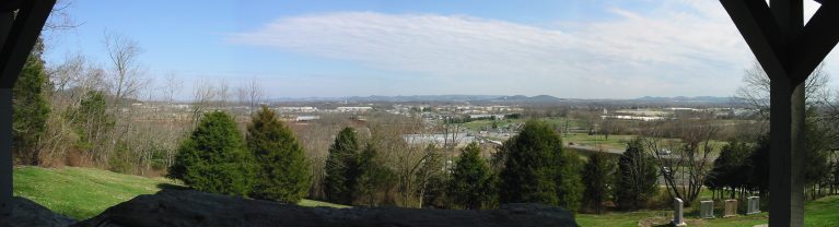
Red River Valley
Kayaking business nearby (~37 mi away) — hasn't claimed their Roamze page yet
Free — you'll pick up right here.
Watch this water
Sign up to watch it — saving subscribes you to gate, closure and report changes.
Tennessee
Weather is good
1 factor · 1 source
Observed 21 h ago
clear: Weather
Rain, high 81°F / low 65°F, 100% precip — 81/100 for canoeing
OpenWeather21 h ago
Been out here in the last few days? One report keeps this current for everyone.
Why you'll love it
Long-term averages modeled by USGS (NHDPlus HR), not today's conditions. Check a gauge before you go.
South Harpeth River
AI-suggested draft · review before you go
No permit or access details on file for this water — check with the local land manager before you go.
South Harpeth River is a 0.1-mile paddling stretch near Kingston Springs, Tennessee. It flows year-round. USGS models an average flow of about 137 cfs.
Leipers Fork
~22 min drive
Leipers Fork is a 3.3-mile paddling stretch near Franklin, Tennessee. It flows year-round. USGS models an average flow of about 36 cfs and a gradient of about 16.1 feet per mile.
Eastern Flank Canoe Ramp
~25 min drive
Eastern Flank Canoe Ramp is a boat launch in Tennessee.
Jones Creek
~27 min drive
Jones Creek is a 7.4-mile paddling stretch near Dickson, Tennessee. It flows year-round. USGS models an average flow of about 50 cfs and a gradient of about 20.2 feet per mile.
Peeler Park Boat Ramp
~41 min drive
Peeler Park Boat Ramp is a boat launch in Tennessee.
Rutherford Creek
~42 min drive
Rutherford Creek is a 10-mile paddling stretch near Spring Hill, Tennessee. It flows year-round. USGS models an average flow of about 59 cfs and a gradient of about 18.1 feet per mile.
Chickasaw Trace
~46 min drive
Chickasaw Trace is a boat launch in Tennessee.
Tumbling Creek
~57 min drive
Tumbling Creek is a 6.5-mile paddling stretch near McEwen, Tennessee. It flows year-round. USGS models an average flow of about 59 cfs and a gradient of about 16.9 feet per mile.
Hurricane Creek Boat Ramp
~47 min drive
Hurricane Creek Boat Ramp is a boat launch in Tennessee.
Sugar Creek
~58 min drive
Sugar Creek is a 2.1-mile paddling stretch near Nunnelly, Tennessee. It flows year-round. USGS models an average flow of about 32 cfs and a gradient of about 17.9 feet per mile.
Seven Points Boat Ramp
~48 min drive
Seven Points Boat Ramp is a boat launch in Tennessee.
Local operators near Kingston Springsoffering guided trips. You book directly with them — Roamze doesn’t take a cut.
Red River Valley
Kayaking business nearby (~37 mi away) — hasn't claimed their Roamze page yet
