Stone Mountain Trail
- 1.9 mi
- round trip
- 1,908 ft
- climb
- 2,589 ft
- high point
- Out and back
- route
- Apr–Oct
- best months
Is STONE MOUNTAIN TRAIL open right now?
Closure in the area
There's a closure order in Cherokee National Forest. It doesn't name STONE MOUNTAIN TRAIL, so check the source for the area it covers (2 listed).
Ocoee River Flooding Damage - Nov 5
Agency closure covering Cherokee National Forest · USFS · Cherokee National Forest
Campsite limitations
Agency closure covering Cherokee National Forest · Order 08-04-00-22-180 · USFS · Cherokee National Forest
Emergency road closures due to storm damage
Agency alert covering Cherokee National Forest · USFS · Cherokee National Forest
As of · Source: USFS · Cherokee National Forest. Agencies don't list every closure — check before you go.
Stone Mountain Trail is a moderate out-and-back hike in Tennessee's Cherokee National Forest, within the Unaka Ranger District. The trail is about 3.7 miles long, with a total elevation gain of 1,908 feet, and it starts and ends at the high point of 2,589 feet. The steepest stretch comes at about 0.8 miles, where the grade reaches 18 percent. The most comfortable months for a visit are typically late spring and early fall. Typical averages from a nearby weather station at Cataloochee, North Carolina, run to highs around 74°F in May and 75°F in September, with July and August highs near 80°F. The trip takes about two hours. The trail is managed by the Forest Service, and the nearest town is Cosby, about 6 miles away. Nearby, Gulf Fork Big Creek offers canoeing about 5 miles off, and the Mount Cammerer Trail and Chestnut Branch Trail are both within about 6 miles. Big Creek Campground, in Great Smoky Mountains National Park, is about 6.6 miles away.
Local outfitters
- Panther Creek Outfitters Horseback Rides17 mi away
- Nantahala Outdoor Center24 mi away
Not on Roamze yet. Their page has how to reach them.
- Gulf Fork Big CreekCanoeing4.8 mi
- Cosby Picnic PavilionCamping5.7 mi
- Mount Cammerer TrailHiking5.8 mi
- Chestnut Branch TrailHiking6.1 mi
- Big Creek TrailHiking6.5 mi
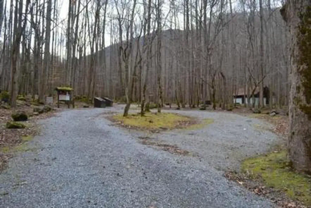 Big Creek Campground (great Smoky Mountains National Park)CampingPhoto: Recreation.gov (RIDB) / public domain6.6 mi
- Cosby CampgroundCamping6.7 mi
- Trail ForkCanoeing9 mi
Source: Roamze catalog (indexable pages within 10 miles, PostGIS distance)
 Groundhog Creek TrailHiking · ~14 min drivePhoto: NCDOTcommunications, CC BY 2.0 (via Wikimedia Commons)
- Rube Rock TrailHiking · ~17 min drivePhoto: NCDOTcommunications, CC BY 2.0 (via Wikimedia Commons)
- Rube Rock TrailHiking · ~15 min drivePhoto: NCDOTcommunications, CC BY 2.0 (via Wikimedia Commons)
- Appalachian National Scenic TrailHiking · ~18 min drive
 Tower TrailHiking · ~16 min drivePhoto: NCDOTcommunications, CC BY 2.0 (via Wikimedia Commons)
 Albright Grove Loop TrailHiking · ~17 min drivePhoto: Chris M Morris, CC BY 2.0 (via Wikimedia Commons)
- Overmountain Victory Nht Gfr - TennesseeHiking · ~9 min drive
- MEADOW CREEK MTN TRAILHiking · ~18 min drive
 BUCKEYE RIDGE HORSEHiking · ~20 min drivePhoto: Marit & Toomas Hinnosaar, CC BY 2.0 (via Flickr)
- Max Patch Short LoopHiking · ~19 min drivePhoto: Marit & Toomas Hinnosaar, CC BY 2.0 (via Flickr)
Best time to visit STONE MOUNTAIN TRAIL
Best months: April–October. Best months have typical highs of 55–85 °F, lows of 30 °F or warmer (32 °F where the station doesn't record snow), at most one snowy day and no more than 12 wet days.
Jan
46° / 23°
Feb
51° / 26°
Mar
58° / 31°
Apr
68° / 38°
May
74° / 47°
Jun
78° / 54°
Jul
80° / 58°
Aug
80° / 57°
Sep
75° / 52°
Oct
67° / 38°
Nov
58° / 31°
Dec
50° / 27°
Typical high / low (°F) and days with rain or snow, 1991–2020. Measured at Cataloochee, NC, 14.3 mi away at 2,650 ft. This station doesn't record snowfall. Source: NOAA NCEI U.S. Climate Normals 1991–2020.
